America – Winter Riding Routes That Are Awesome! Part 1 of 5

A Finnish friend asked me this question this summer. 

“Winter is just around the corner and before I know it, I’ll be swapping my bike for skis…but I want to ride more, I can only head to America in the wintertime, is there anywhere I can still ride that will be fun?”

The answer is a mix of yes and no, obviously you can’t ride everywhere because we are in the same hemisphere, but there are many areas that are possible to ride ‘almost’ year-round.

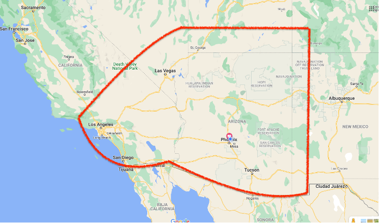
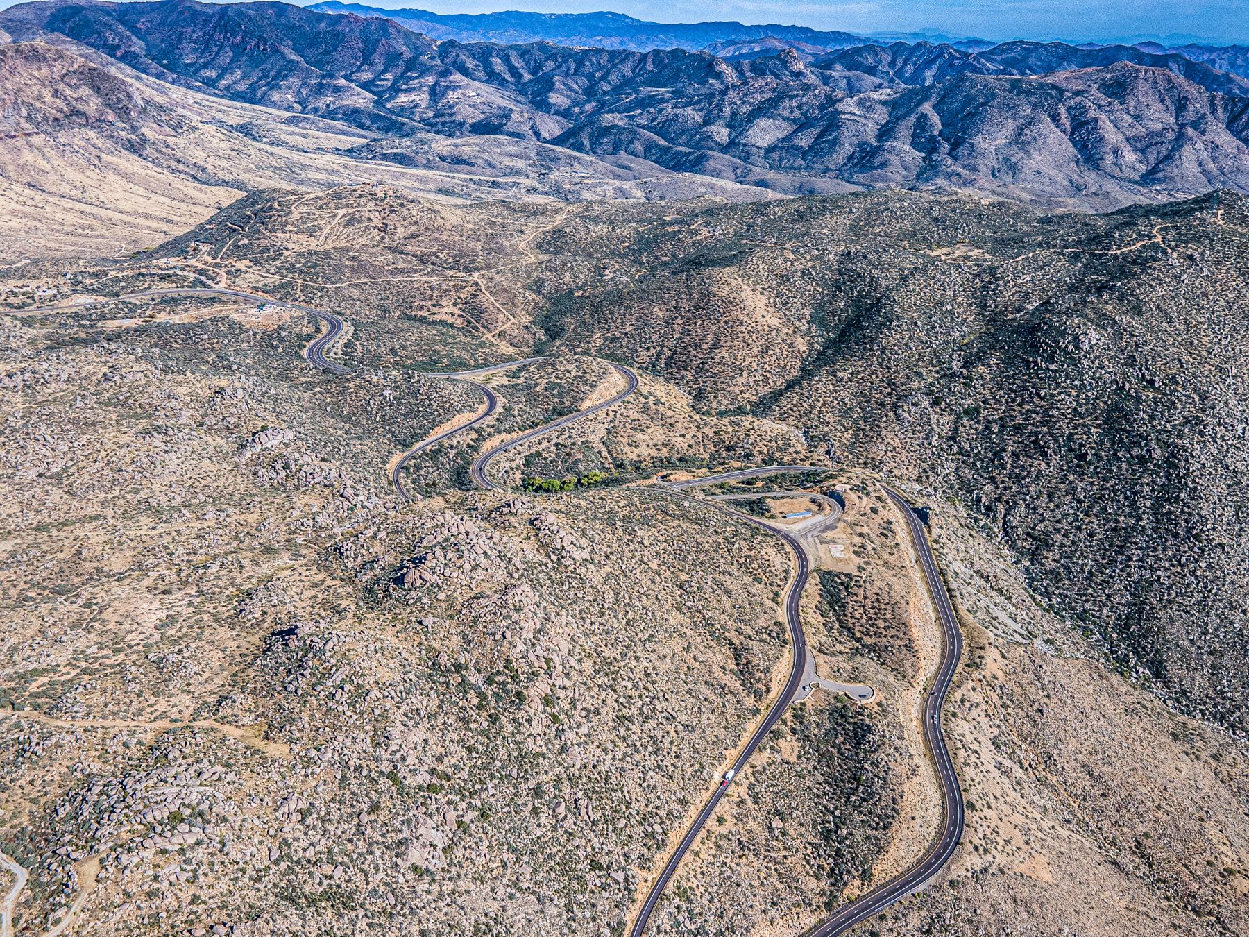
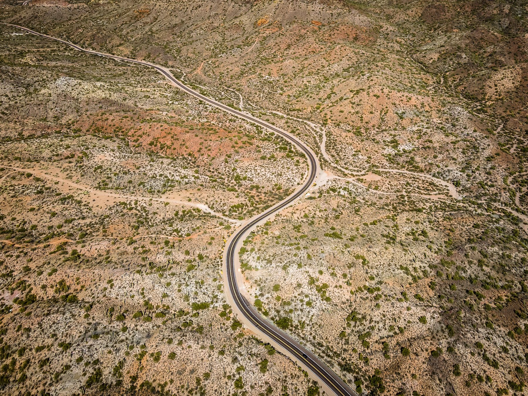
If you look at the USA and specifically the southwest the weather in this area allows riding where the rest of the country and Europe is only dreaming of warm sunny days.

Of course, there are specific caveats of bringing some warm riding gear just in case, but usually at worse riding will feel like a brisk spring day.

You may look at this map and wonder why more of California isn’t included…well, the California coast can be extremely cold, wet and foggy in the wintertime and not fun to ride, leave it for summer when the desert heat is extreme! 

There are numerous motorcycle rental companies in Los Angeles, San Diego, Las Vegas, and Phoenix, some even offer one-way rentals…you will have to do your own research on that to see what suits you.

This is the first of five articles that will feature multiple routes to ride individually or combined that I have personally ridden, some multiple times, and all from October onwards.

I have tried to keep it to paved surfaces and it is for around 99% of the time, the other 1% is usually in very good unpaved/ dirt/ graded road condition or there are options to reroute to get yourself back on track if dirt really isn’t your thing.

All the five routes combined look like this, and total 8858km’s/ 5504 miles

Things to be aware of on all these routes is your fuel level and distances can be great between fill ups. Always carry a good supply of water, even in the winter months the desert can be very dry, and if you aren’t used to it dehydration can happen very easily even in winter. 

You may want to carry a tent, sleeping bag and cooking equipment with you if you plan to just ride with no set timeline, or research areas on the route to book hotels. They are in abundance nearer national Parks and cities, but in the more remote areas they do get booked a long way in advance, as there might only be one hotel for hundreds of miles/ km’s.

The first route is either a very long one day ride or preferably a two-day ride starting in Phoenix Arizona.

This is the shortest of all the routes but has the most unpaved riding, but I have added an alternative easy paved section (green). You will still need to ride around 10km/ 7 miles of perfectly graded road.  

It will be worth it because you will get to see a view that even a lot of people in Phoenix don’t know exists!

The dirt section - If you are familiar with unpaved/ dirt riding this will seem very tame and might not even be classed as a 0.5 out of 5, but for an inexperienced rider even though its only around 80km/ 50 miles it could take 2-4 hours and there is ABSOLUTLY ZERO SERVICES on the whole section…you have been warned!

From central Phoenix head due north…

…to the town of Cave Creek on Cave Creek Road, this is a very eclectic area full of artsy houses, restaurants and galleries and a favorite area for motorcyclists on the weekends.  

Once you have had your fill of the town, double check your fuel if you plan to take the dirt road all the way north.

As you leave Cave Creek, you’ll pass a golf course and then the property will end. 

Now the fun begins, in no time you’ll be riding a nice little section of twisty curves with no traffic.


The reason for the lack of traffic is the pavement is about to end and most riders will have turned off towards Lake Pleasant.

You on the other hand will pass the ‘pavements ends’ sign and keep on riding for a few more miles.

Look to your right and there will be a small white ball in the distance high up on the top of the mountain, it’s a weather observatory, this is where you are headed. The dirt road is in great condition and very well maintained.

Look for the paved road to the right and ride upwards, the road is very narrow but it;s paved all the way to the top.

Once at the top the view is spectacular, and you have a perfect 360-degree vision of the areas you have ridden through or are going to. The lake in the distance to the east is Horseshoe Reservoir.

This area has some of the most easily accessible dark skies close to Phoenix as the nearby mountains block the ambient lights of the city

Now the choice is yours, ride back to Cave Creek and follow the signs to the I-17 north to Prescott or preferably be a little adventurous and continue and take the road north, and head to Prescott that way.

Initially the road will be in great condition, but eventually it will get a little rougher, the signs are old, don’t let them scare you. The road is called Bloody Basin Road and the history is scarier than the ride north, and the views are worth it.

‘Bloody Basin got its name due to a massacre at the Battle of Turret Peak in 1873, where the army stormed the camp at night and in the panic, some Indians jumped from the cliffs to their deaths. When the battle was over, 26 Apaches were dead.’

When the dirt comes to an end, you’ll join the I-17 for a couple of miles then take the turn to the town of Prescott, a great place to refresh or stay over for the night.

Make a note to yourself NOT to leave Prescott in the late afternoon, the reason is you are going to ride one of Arizona’s great sections of road, ‘route 89’. 

In the late afternoon, the sun will be directly in your eyes as you ride due west, so a morning or early afternoon descent from the mountain is the best plan and make it a much more fun ride.

Eventually the road will split, the downhill section will be high to your right, the one you are riding, and the uphill section will be way below you. 

If you get the urge to go to the bottom and head back up to the top, you won’t be the first, lots of riders do this to experience this amazing section of pavement.

You’ll follow Route 89 until the turn off at Vulture Mine Road where there was Arizona’s most productive gold mine in history, back in 1863, now the miners are long gone and your company will only be the thousands of cactus that line the road

You’ll slowly head south and pass the I-10 freeway headed to Los Angeles, you on the other hand will set your sights on South Mountain Park. 

To get there you’ll pass through a lot of farmlands and the crops can vary a lot, corn, roses, watermelons and cotton are common, but a lot of farmers have now traded crops for farming the ever-present Arizona sun and fields of solar panels are becoming a more familiar sight.

Finishing your day on the top of South Mountain is a great way to end a ride around America’s 5th largest city and seeing some sights that many locals have yet to experience themselves.

Instead of heading back into the metropolis, why not take one of the routes I’ll be writing about next???

You can download the GPX file of this trip here!

Read other stories about RTWPaul

To know more about Paul go to:

www.rtwpaul.com/

www.instagram.com/rtwpaul/

www.facebook.com/rtwpaul/


#FORYOURRIDINGPLEASUREONLY


More stories

RTWPaul: Riding 48 States - Utter Ridiculousness With 8hp Part 1 of 2

RTWPaul: Riding 48 States - Utter Ridiculousness With 8hp Part 1 of 2

Iceland, Part V

Iceland, Part V

A sparkling adventure ride

A sparkling adventure ride