Iceland, Part VI

Day 22: Svöðufoss waterfall, Skarðsvík beach, Svörtuloft lighthouse

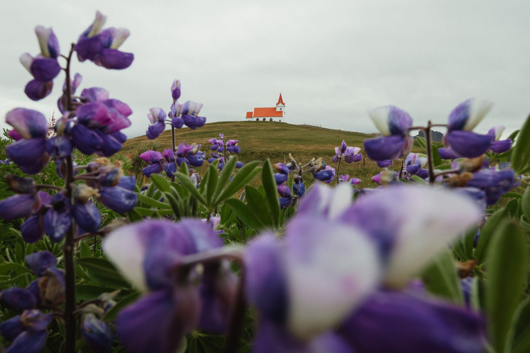
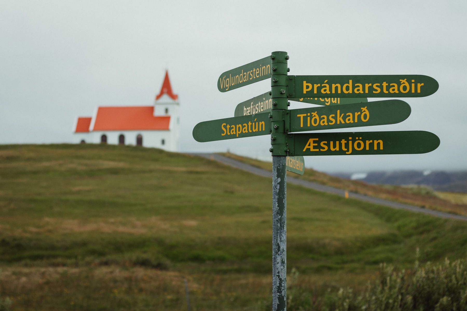
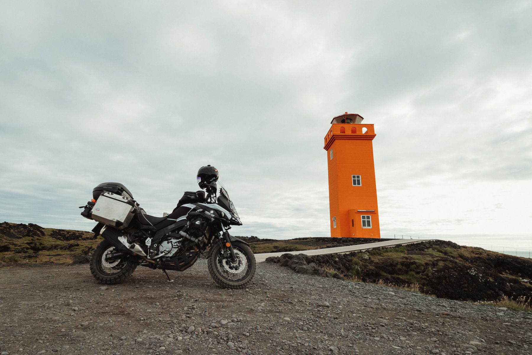
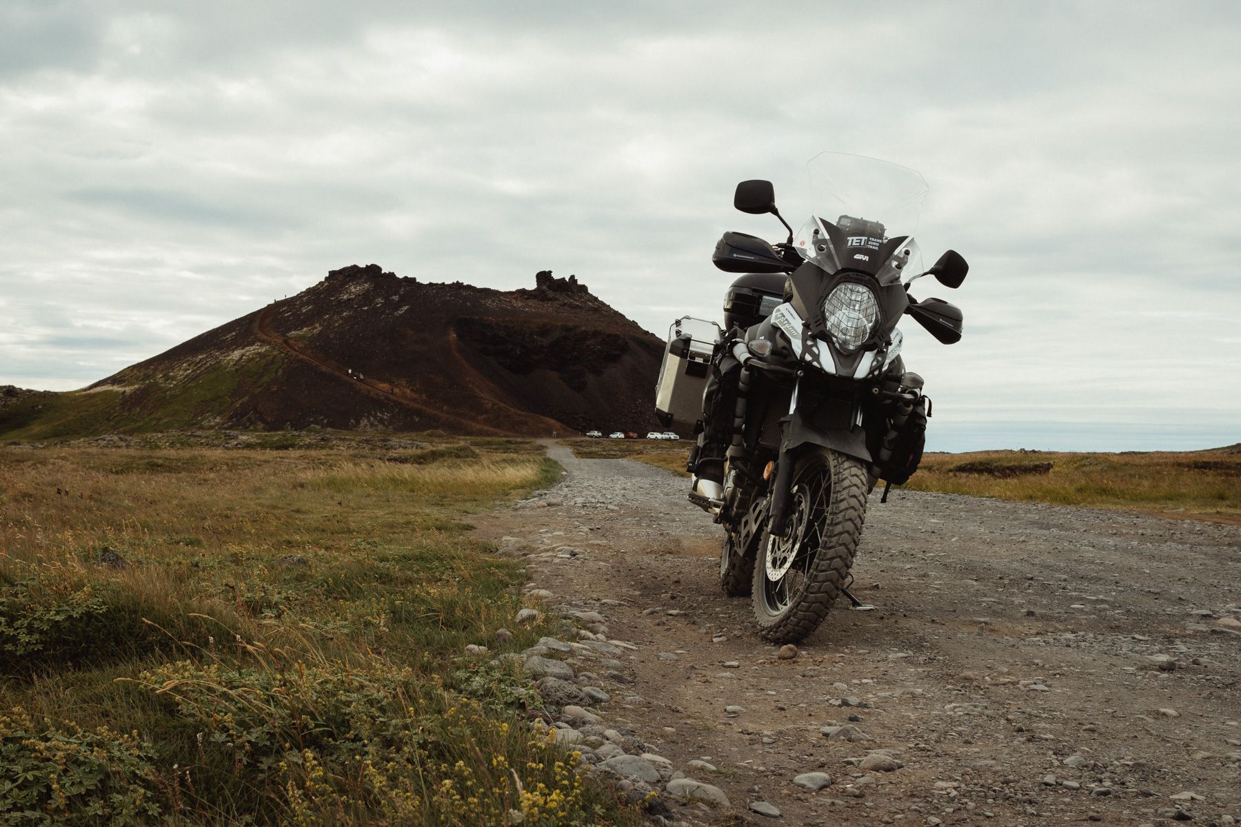
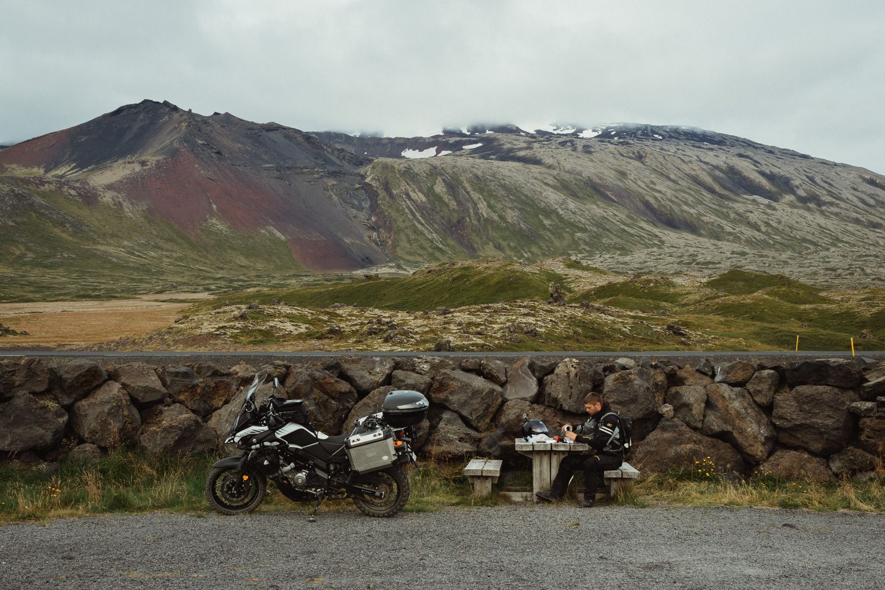
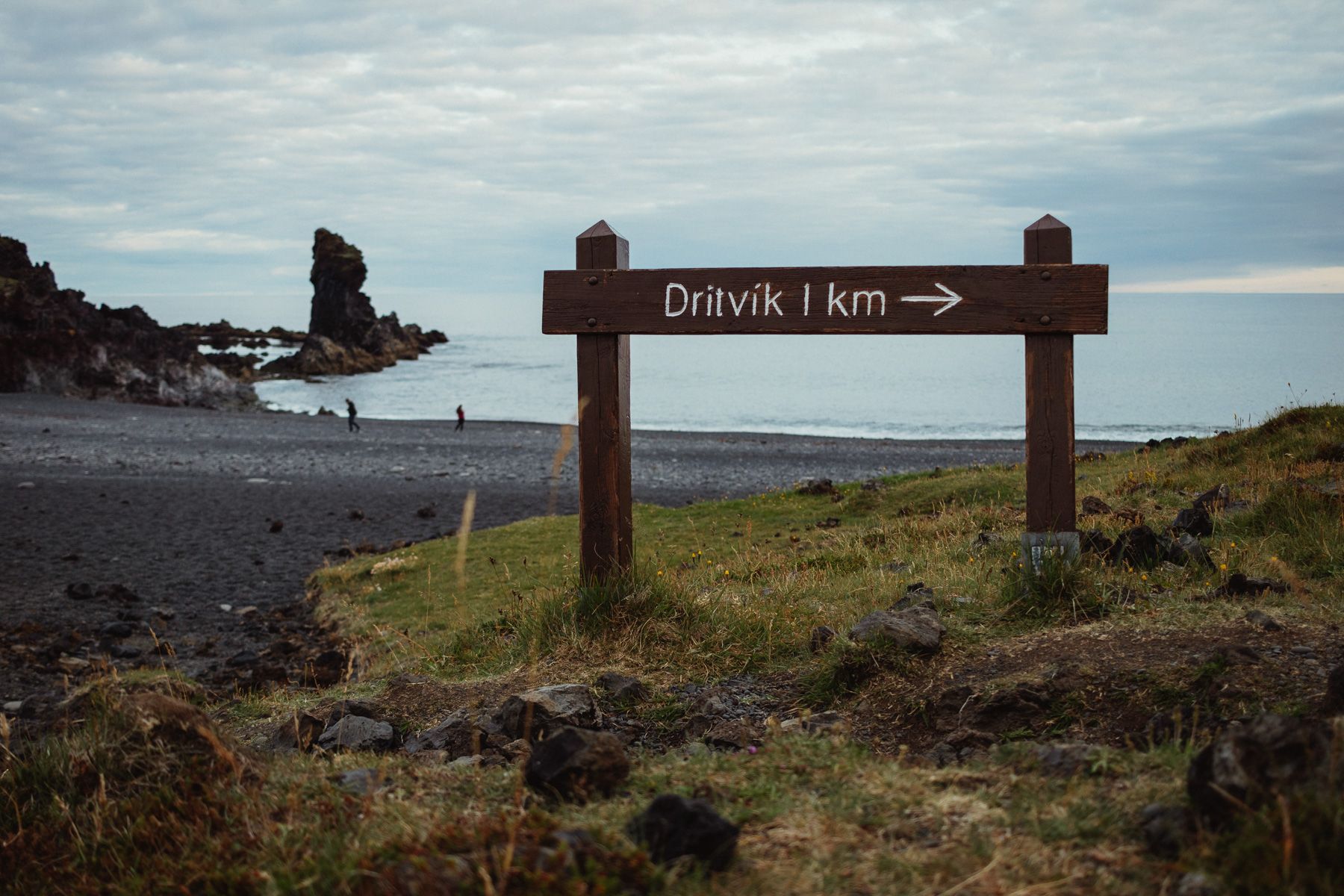
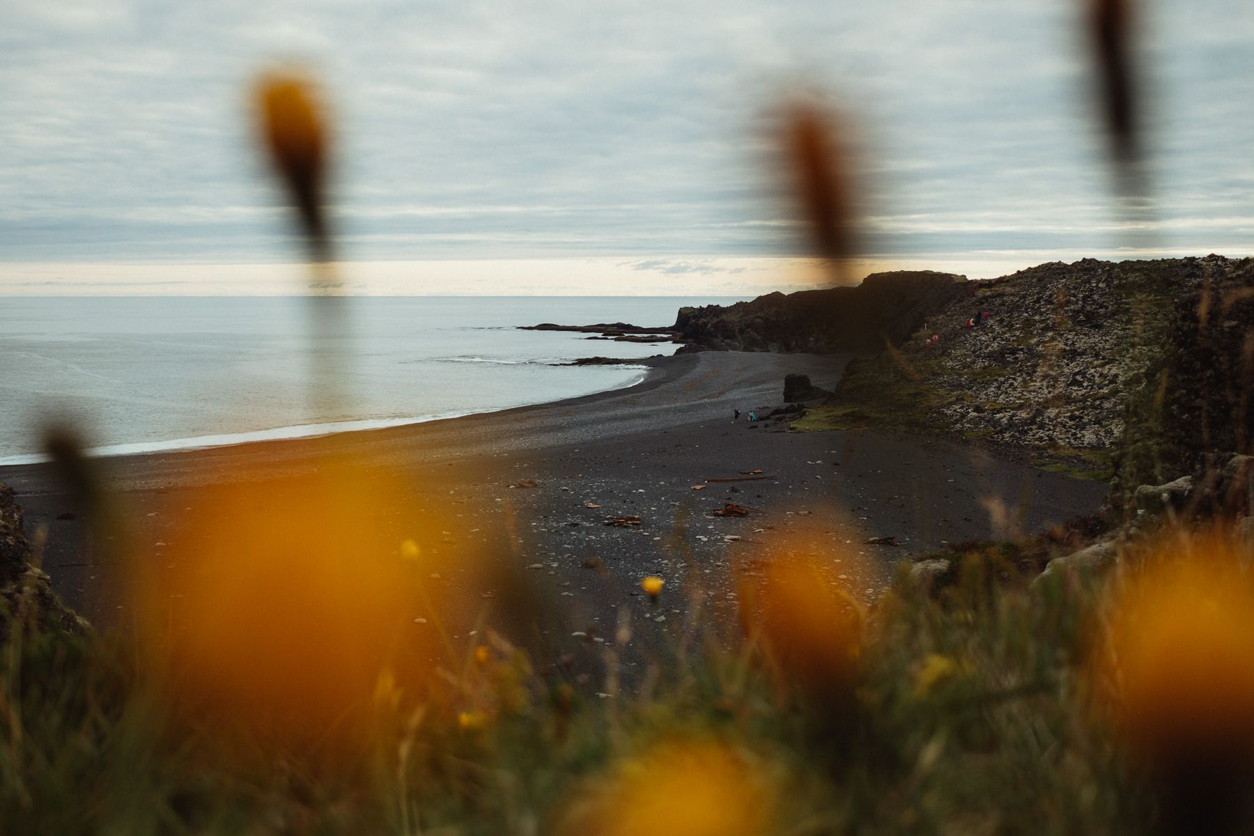
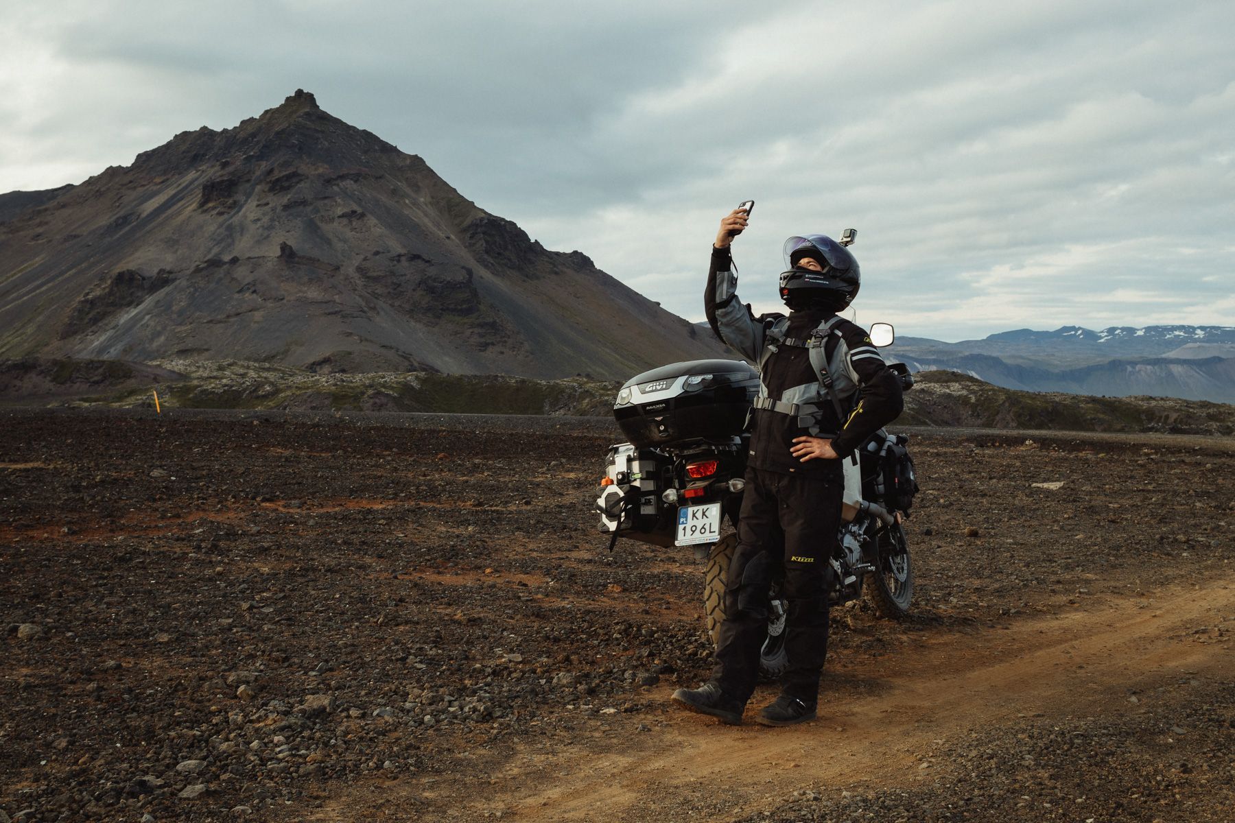
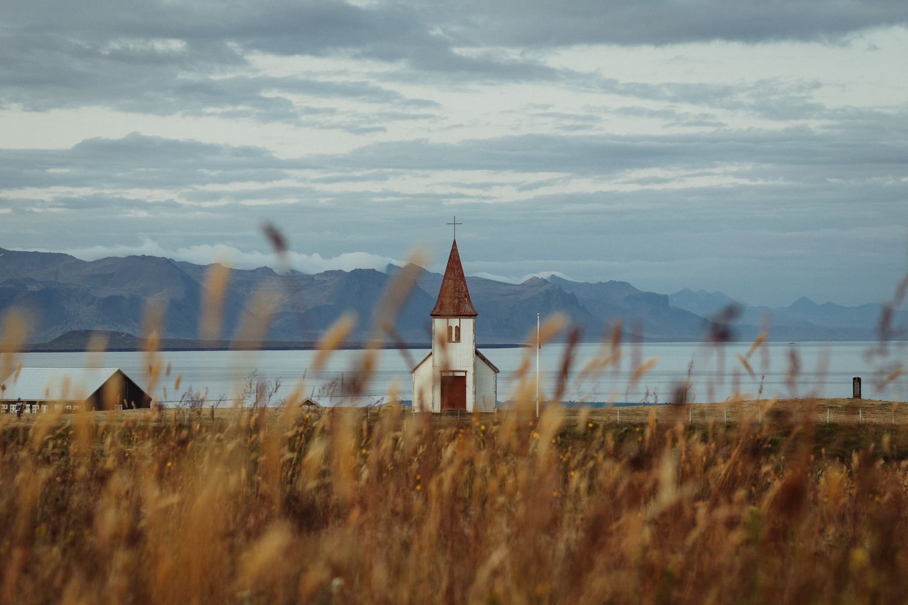
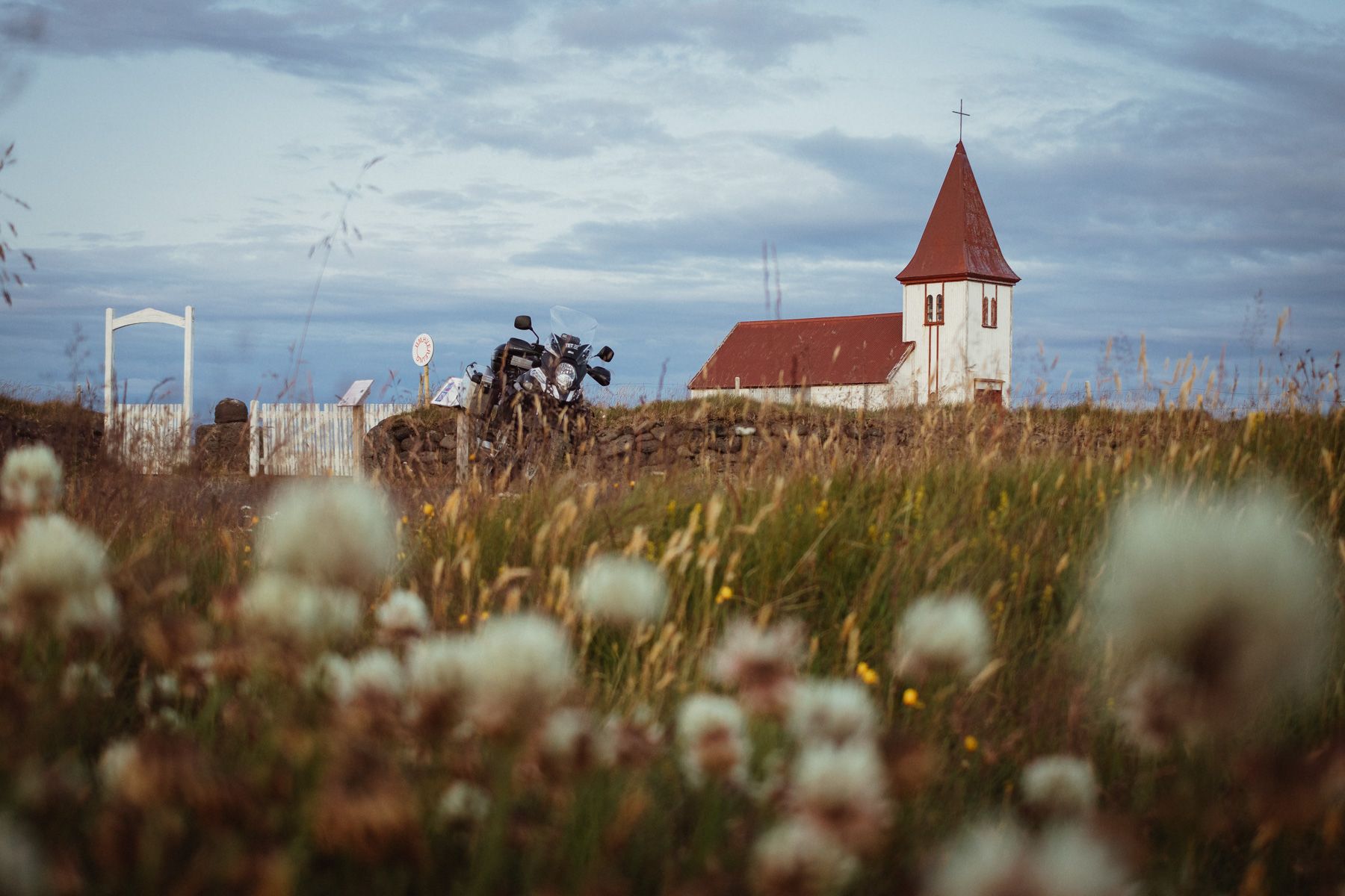
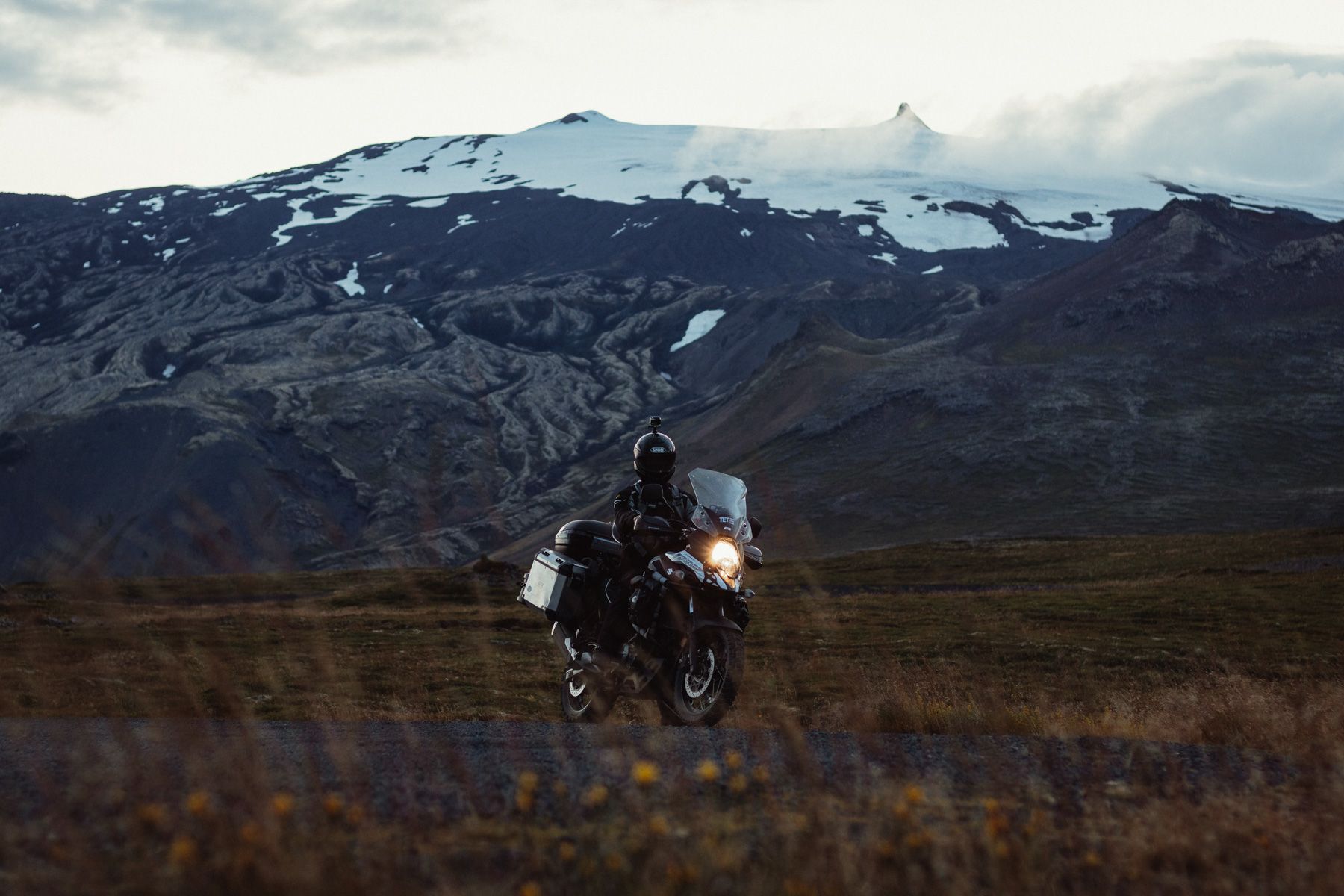
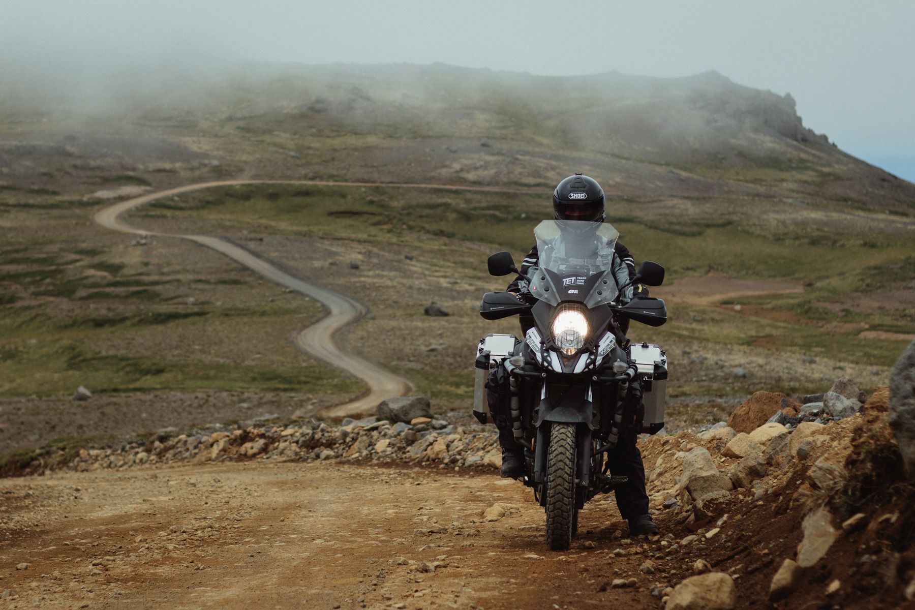
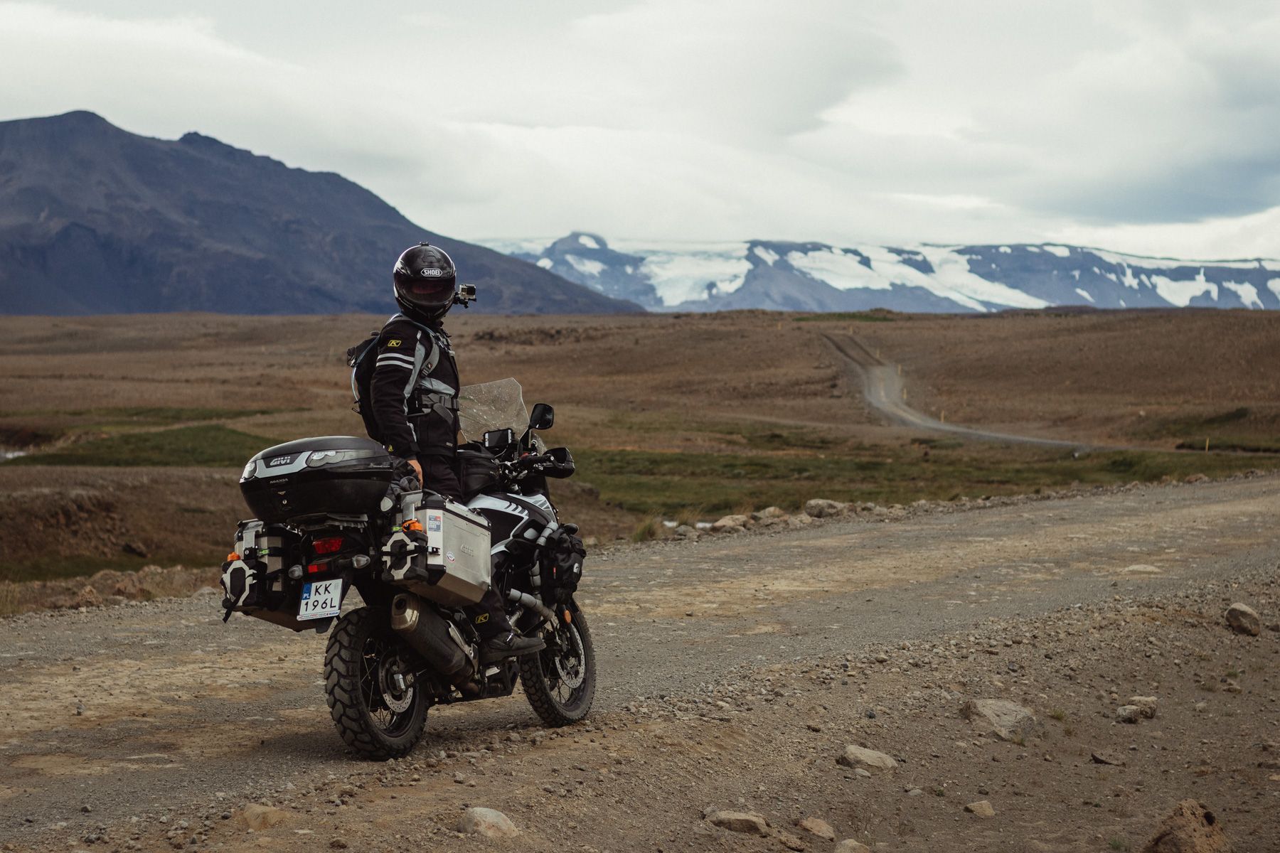
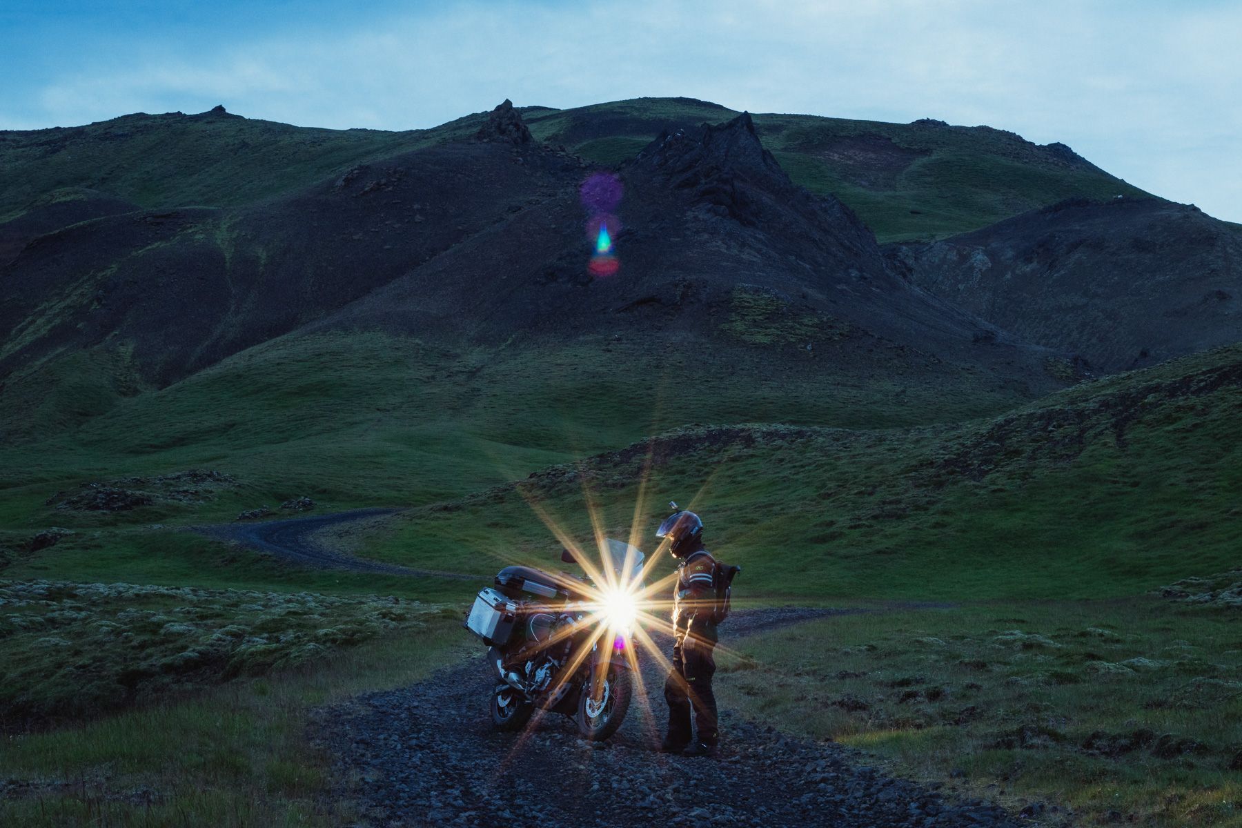
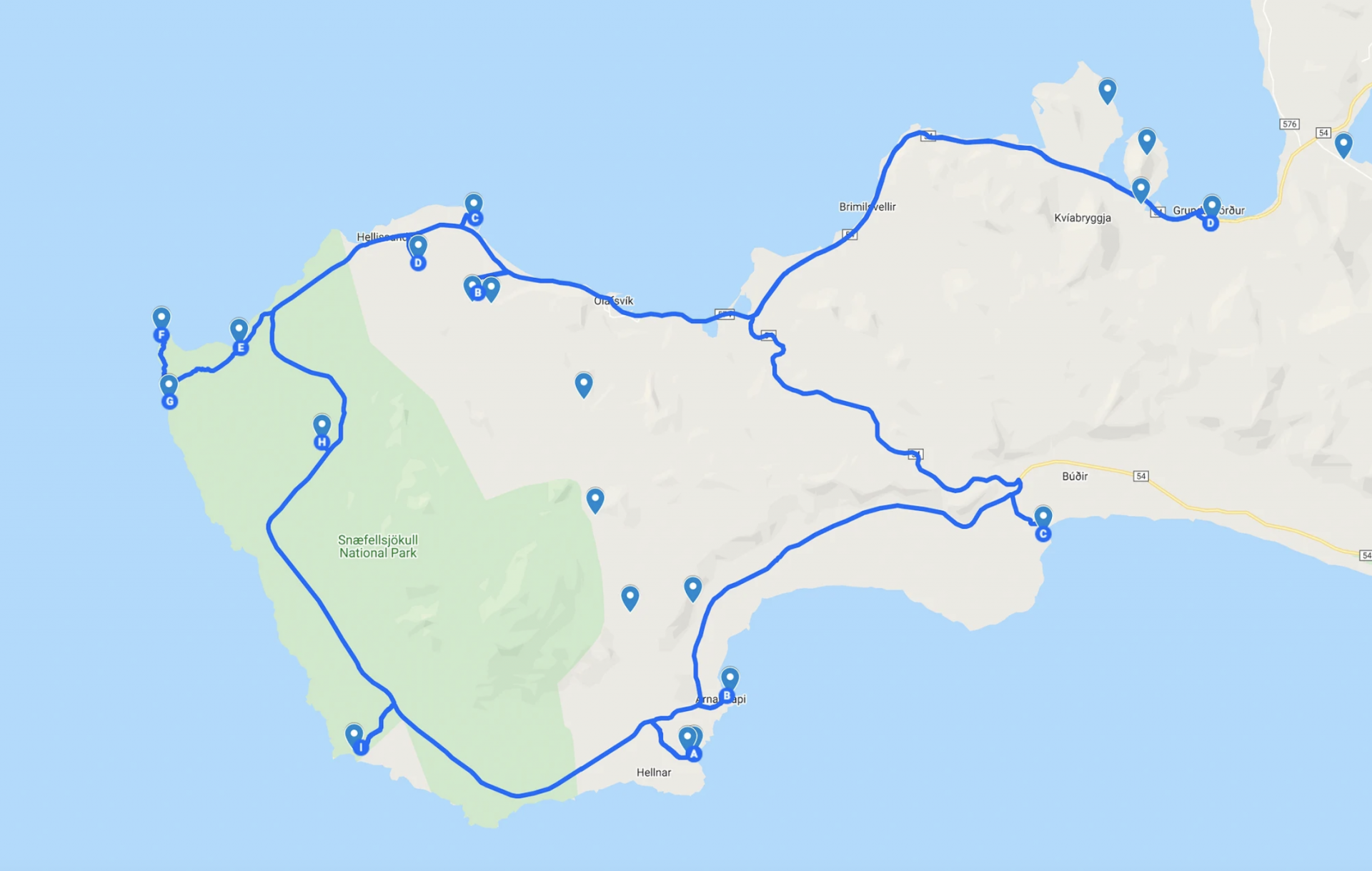
It’s time to ride around the Snæfellsnes peninsula and discover the interesting spots hidden here. I already know it will be a typical touristy day: going all-in on the popular tourist attractions and doing a bare minimum of challenging bike routes.

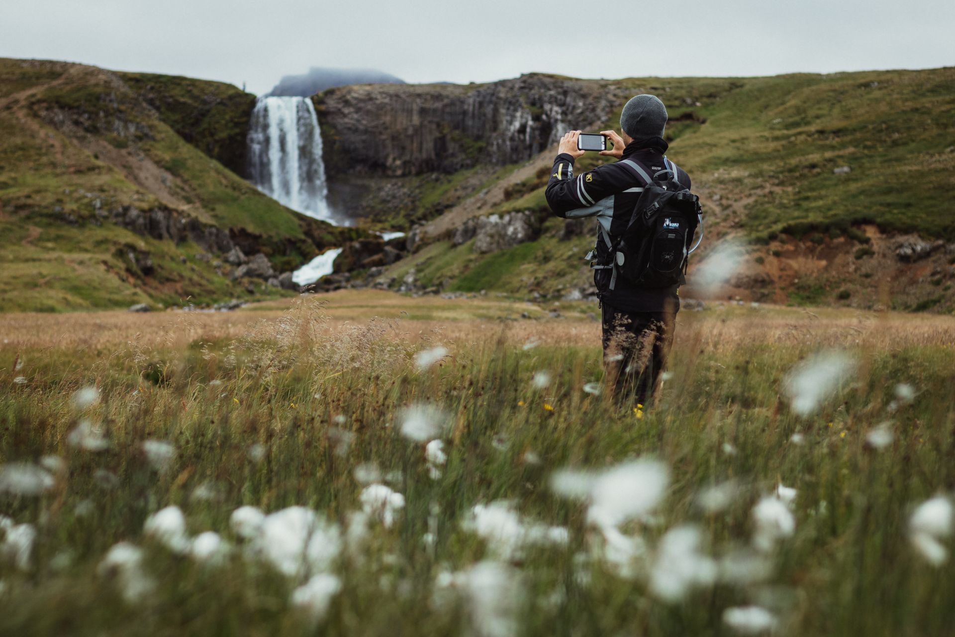
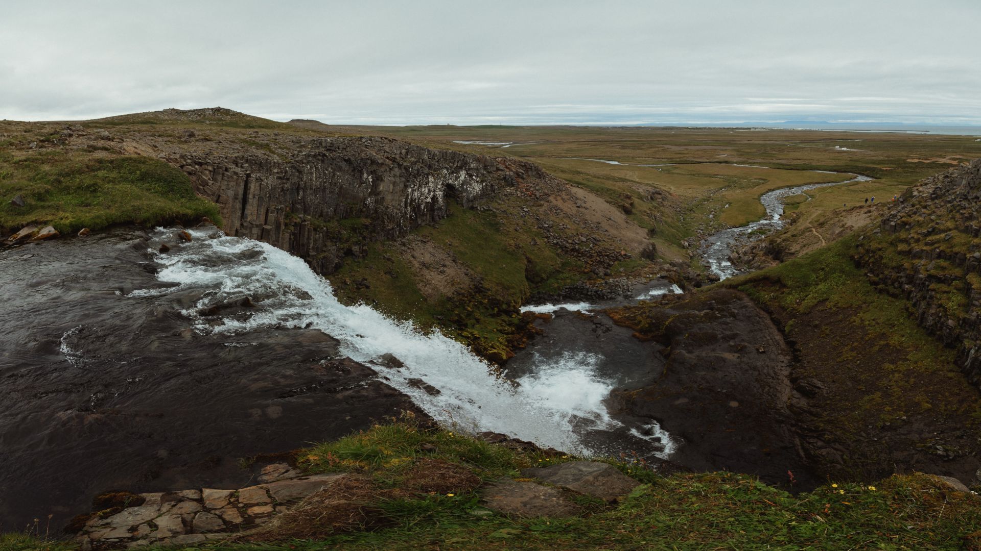
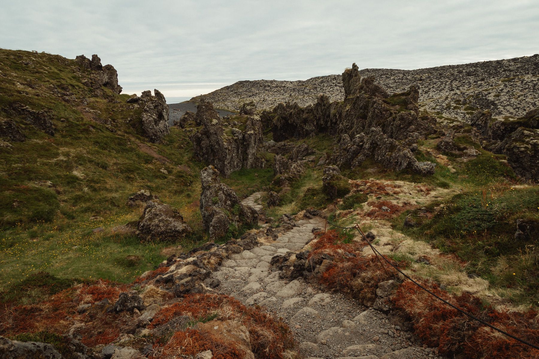
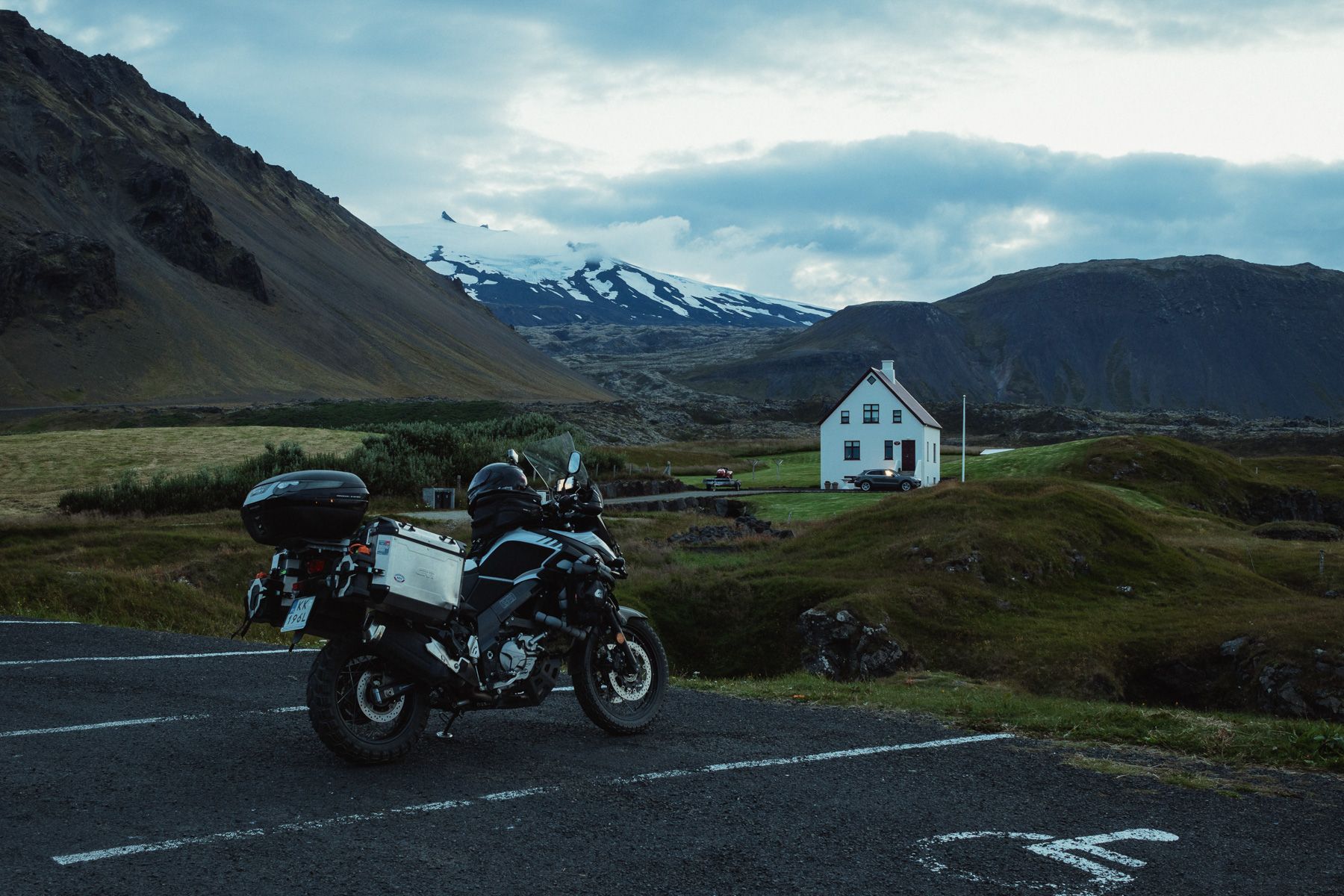
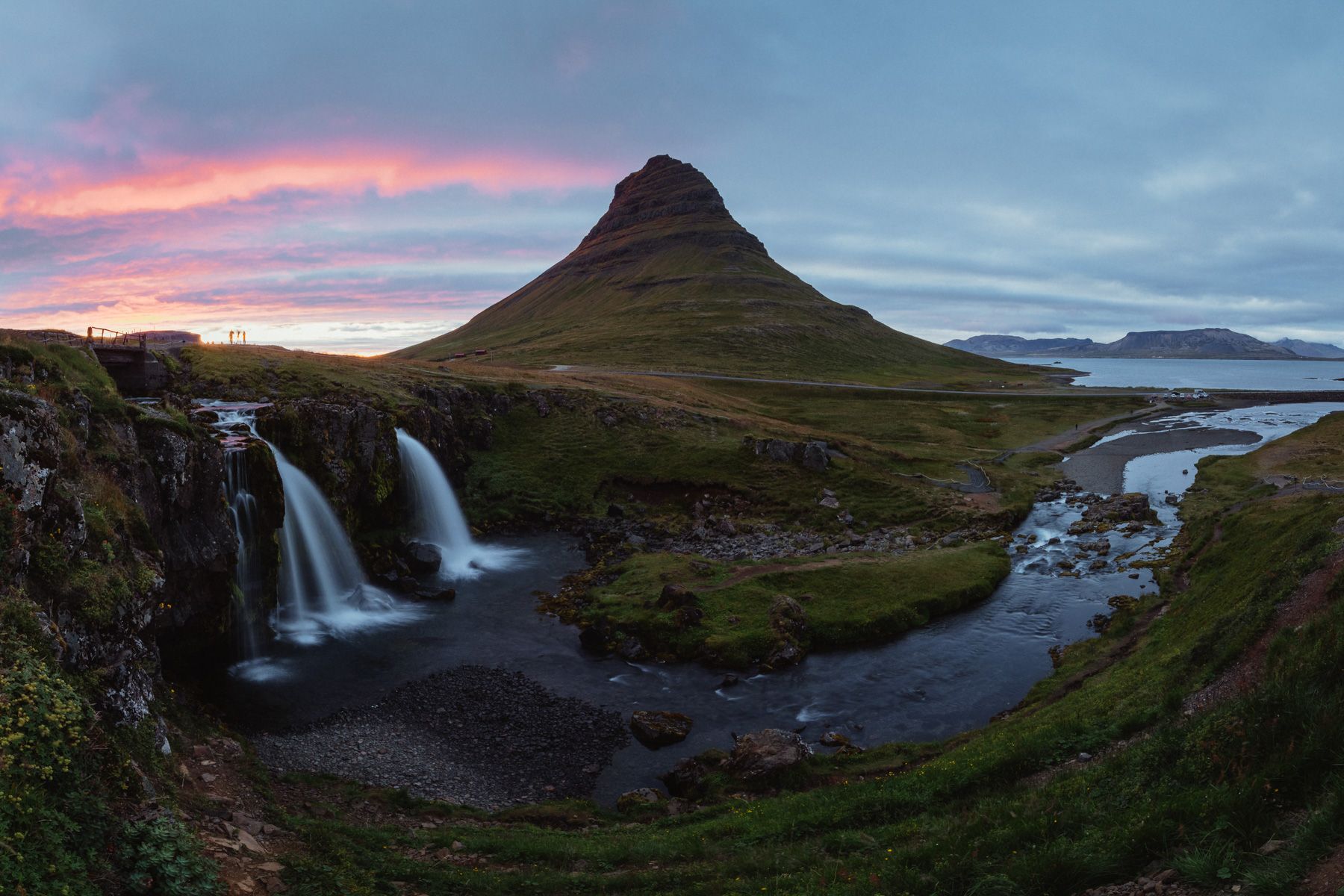
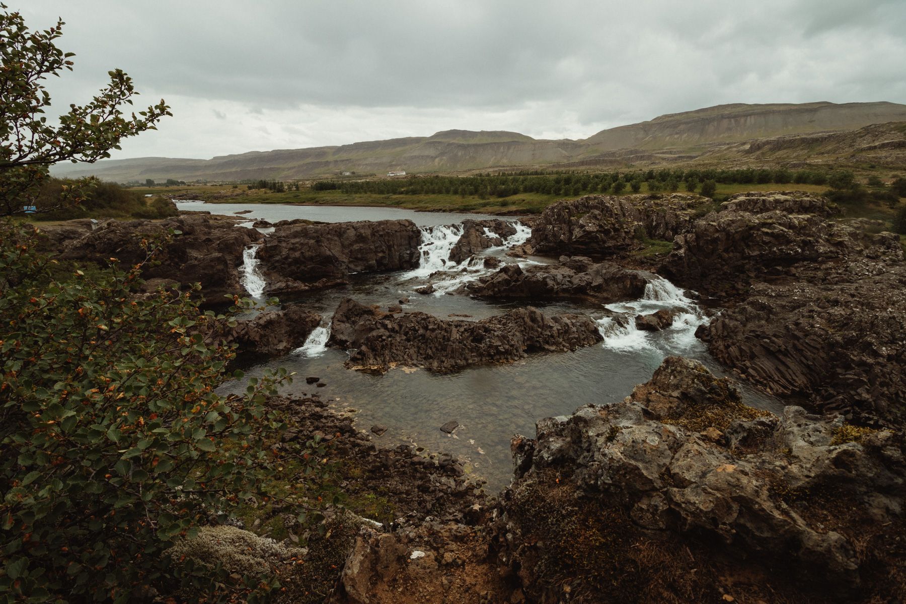
I leave Grundarfjörður around 2 pm, and head west, towards Ólafsvík. A few kilometres further I leave the main road and take a gravel road to the parking lot next to the Svöðufoss waterfall.

Svöðufoss waterfall

It takes you about 5’ minutes to walk from the parking lot to the waterfall (350 m), cascading from a 10-meter cliff, with its trademark basalt columns around it.

Rif

A former fishing settlement, and one of the most important trade ports in Snæfellsnes. Today, Rif makes its living mostly from tourism. It has about 550 inhabitants. When you stroll around the port, be sure to watch out for aggressive birds flying right over your head.

Ingjaldshóll church

This church, built in 1903, is the oldest concrete church in Iceland, maybe even in the world. A legendary place, for it was here in 1477 that Christopher Columbus learned about Viking raids on lands located further west than Iceland.

Skarðsvík beach

Sand, stones, and volcanic rocks. The beach is pretty. And it’s a shame you can’t take a bike with you.

Öndverðarnesviti lighthouse

An orange lighthouse built in 1973. The westernmost point of Snæfellsnes.

Svörtuloft lighthouse

Svörtuloft, or Black Ceiling, is a nearly-13-meter-high lighthouse built on top of a high cliff. The cliffs are about 4 kilometres long and several bird colonies nest here.

Saxhóll crater

The crater’s walls are about 100 meters high; when the weater is nice – and clear – enjoy the great view on the Snæfellsjökull glacier to enjoy. 

A short break for a sandwich and a bit of tea. The glacier slowly seems to emerge out of the fog.

Djúpalónssandur beach

There’s a path that leads from the parking lot to the beach through a lava field. Once there was a sizable fishing settlement, but now the place is empty. You can find the wreck of the Grimsby fishing vessel on the beach, where it crashed in 1948.

Hellnar

Another fishing village long past its heyday. Nothing interesting here apart from the old church and the Valasnös cliff.

Snæfellsjökull glacier

A few minutes past midnight.

Arnarstapi

It gets dark at 1 am, so I take some quick shots of the pier and the cliffs and I head out. 

Búðakirkja

Photographing a cemetery and a black church at half past 1 am does have a certain character.

Around 2:30 am I get back to the Grundafjörður campsite.

Day 23: Route F570, Kirkjufellsfoss waterfall

After breakfast and a shower, I have to do some groceries; afterwards I take the route F570 that runs next to the Snæfellsjökull glacier. On the way, I stop in Ólafsvík for a fish soup, coffee, and a créme brûlée (3900 ISK).


Route F570

Route F570 is about 20 kilometres long. It’s technically not very demanding, but for the first part of the route I have to deal with thick fog, so I need to pay extra attention to any oncoming traffic; this means I cannot really enjoy the views of the glacier.

On the southern side, the weather gets much better. There is no fog and little to no clouds, but the wind picks up.

I reach a tarmac road, go fill up the bike in Arnarstapi, and then it’s on to the Rauðfeldsgjá gorge, 5 kilometers north.

Rauðfeldsgjá gorge

From afar, the gorge doesn’t seem all that interesting, so I don’t even get off the bike. The strong winds make me give up on riding any further. I turn back to the campsite.


Kirkjufellsfoss waterfall

After I had my dinner, the time is right to visit the waterfall again. As usual, there’s a big group of photographers, each one occupying their own spot. Today the sunset is nice, and you can finally see red and orange in the sky.

Day 24: Glanni waterfall, Viðgelmir cave

After breakfast I pack up my tent and leave Snæfellsnes. I’m going east, towards the Glanni waterfall, some 130 kilometres away.


Glanni waterfall

Coffee at the parking lot by the waterfall, a couple of photos from the viewpoint, and then I’m on my way.

Viðgelmir cave

Viðgelmir cave is a lava cave or a tunnel made by lava flowing out of a volcano. The cave is located on private land, and the owners run guided tours here (it’s a family business). The entrance ticket is 6500 ISK. There’s nothing much to see inside, we just walk to the end of the tunnel and back. The coolest place is the entrance to the cave, where you can see the sky through a hole in the ceiling.

Route F550 starts near Viðgelmir cave, but the wind is so strong I just turn back. Around 10 pm I reach the Varmaland Campsite. The campsite is close by a swimming pool that’s closed by the time I get there. Off to bed without taking a shower.

Day 25: Route F550, freediving in Silfra

Route F550

Breakfast, a quick shower, and it’s time to go. The weather is much better, it’s not as windy as the day before. Route F550 is really easy; any vehicle can make it. There are no rivers, big rocks or sand. Heading south, you can see the Langjökull glacier, Iceland’s second largest glacier, to the left, about 10 kilometres away.

The views are tempting, but I don’t stop often. At 2 pm I’m supposed to be at the Þingvellir national park for a freediving lesson. We’ll be diving in Silfra, a crevasse that sits between two continental plates.

Silfra

There’s a crowd of tourists when I arrive, and at least 7 companies that offer diving sessions, and only one of them does freediving. A freediving session with an instructor is expensive: 24900 ISK. There are four people other than myself; only one of them has completed the AIDA 2 course like I did, and the others don’t really know what freediving is, so they probably won’t be able to go too deep. On the bus, we put on 7-mm thick wetsuits and pick our fins, gloves, masks and snorkels — and then it is off to diving.

On the way, the instructor goes through the planned route, and categorically warns us against swimming through caves or under rocks, because it’s very dangerous. Buuuut if no one’s looking, and we feel like it, we can.

Water in Silfra comes from a glacier and it’s barely 1-2 degrees Celsius. As I dip my face in, it feels like I got  shocked by an electric current. It’s the cleanest water in Iceland, the underwater visibility is over 100 meters.

As we’re swimming, the instructor takes photos of us, but if you want to have them you have to pay extra. We spend about 40 minutes in the water, and after we get out, we all have purple hands, lips, and we find it hard to speak. All of us, that is, except the instructor — he isn’t fazed by the cold water. On the bus back, we’re given hot chocolate, which really is chocolate powder and water from a thermos, but it does help you get warm, so I go for two cups.

I set my satnav to the Vogar Campsite on the Reykjanes peninsula. I fuel up near Reykjavík. The campsite has good facilities, and with the Campingcard, it’s 333 ISK for the night. I think I’ll stay here for a few days.

Day 26: Vogar and its surroundings

In the morning, while grocery-shopping at a market, I ask the shopkeeper if they have anything for cleaning bike chains, but they don’t. She advises me to visit the nearby garage and shows me how to get there. When I do, it turns out it’s not a garage, but some kind of factory, but they do have what I need. I get a spray for cleaning the chain, a dynamometric wrench, a 22 mm socket, and a few pieces of cloth. Time to tighten the chain and clean it up a bit.

The guys don’t want any money for their help, but I leave them 1000 ISK for coffee. Then I make a quick stop at a carwash in Keflavík and I’m back at the campsite for dinner. It’s still bright out at 8 pm, so I go for a ride to check out the area.

Eldborg volcano

A couple of kilometres beyond the town of Vogar, I find a route that leads through lava fields to the Eldborg volcano. Not far from there, there are the Trölladyngja and Keilir hills, and 10 kilometres south-west, there’s the Fagradalsfjall volcano, which erupted on March 10th, 2021.

The route is technically demanding due to large rocks, holes, and steep climbs. It’s better not to try it by yourself, on a heavy bike.

And here is where they probably get geothermal water that’s distributed to nearby settlements.

After midnight it gets too dark to ride around, so I head back to the campsite and go to sleep around 2 am.

Words & Photography: Damian Watracz


#FORYOURRIDINGPLEASUREONLY


More stories

The Odyssey of Sweden - Part 2

The Odyssey of Sweden - Part 2

Luxemburg on the rough side

Luxemburg on the rough side

The Odyssey of Sweden - Part 1

The Odyssey of Sweden - Part 1