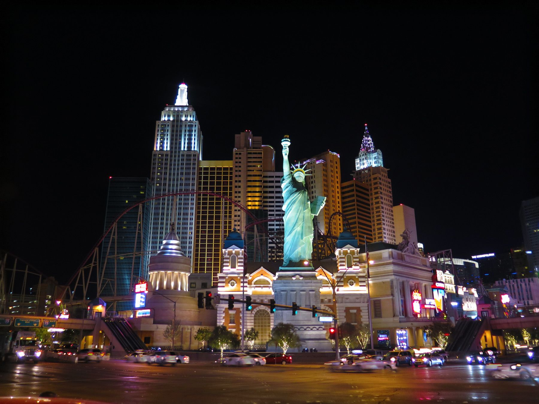
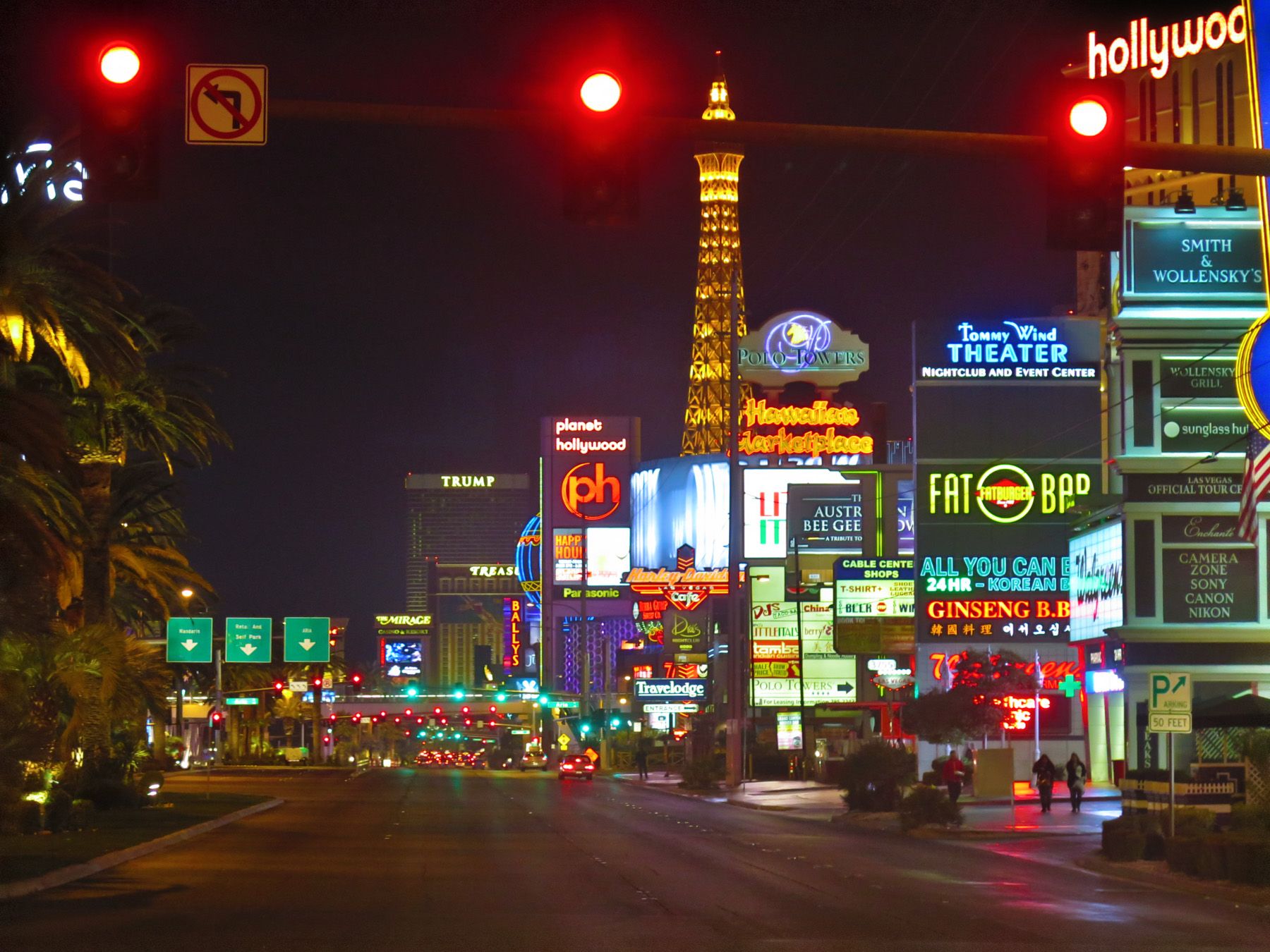
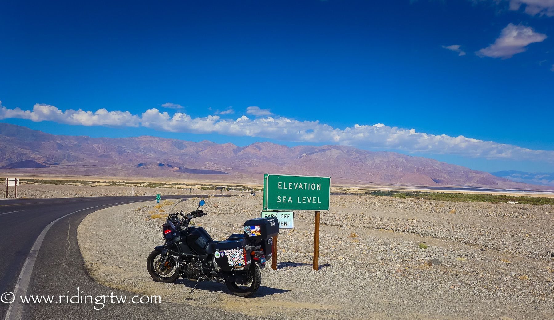
Las Vegas a city known worldwide, but rarely as a motorcycle destination, yes there are great one day rides to areas like Red Rocks, Valley of Fire, Hoover Dam, Mountain Springs, Titus Canyon, Rhyolite, China Ranch Date Farm, Goodsprings or Death Valley that can all be reached in a one-day loop.
America – Winter Riding Routes That Are Awesome! Part 2 of 5
Motorcycle Diaries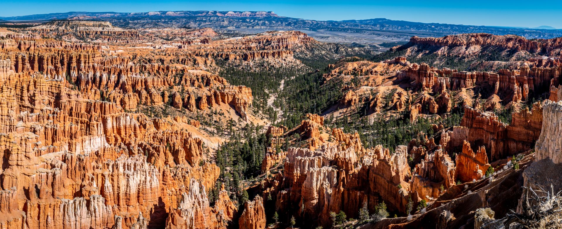
Las Vegas Loop Eastbound 1622 miles/ 2610 km.

…but what if you have more time and want to ride further, you have your own motorcycle or maybe a rental, where do you ride to?

By following this blue route, number 2 of 5 that I’m writing about the Southwest, you will have a great ride to amazing roads that you may never have found or combined yourself.
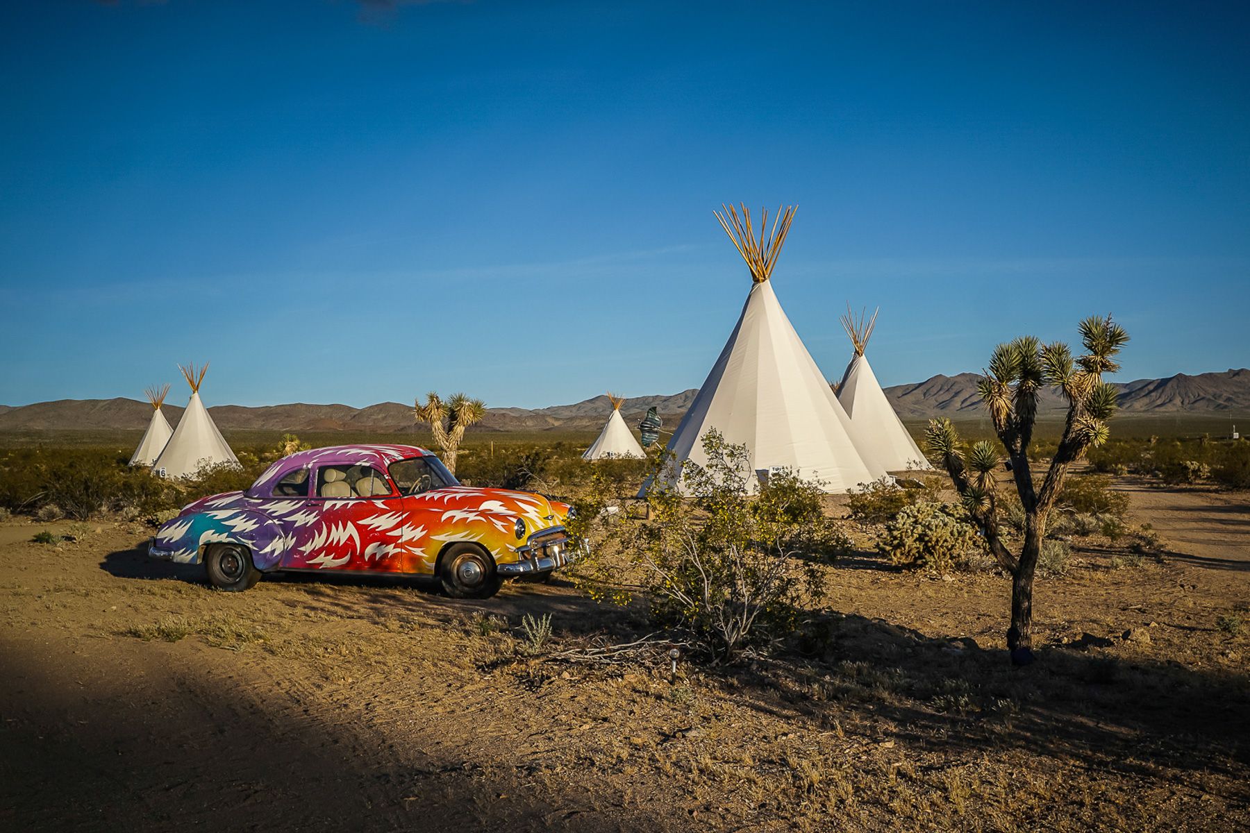
Leaving Las Vegas heading southeast towards Laughlin can be a bit of slog, maybe because I’m so used to it, but there is an option to break up the ride a little to head to a small settlement called Nipton, right on the California state line and a popular day loop ride for people from Las Vegas.
As you head past the old cars and teepees to Laughlin, you’ll also ride a small section of Joshua Tree national Park.
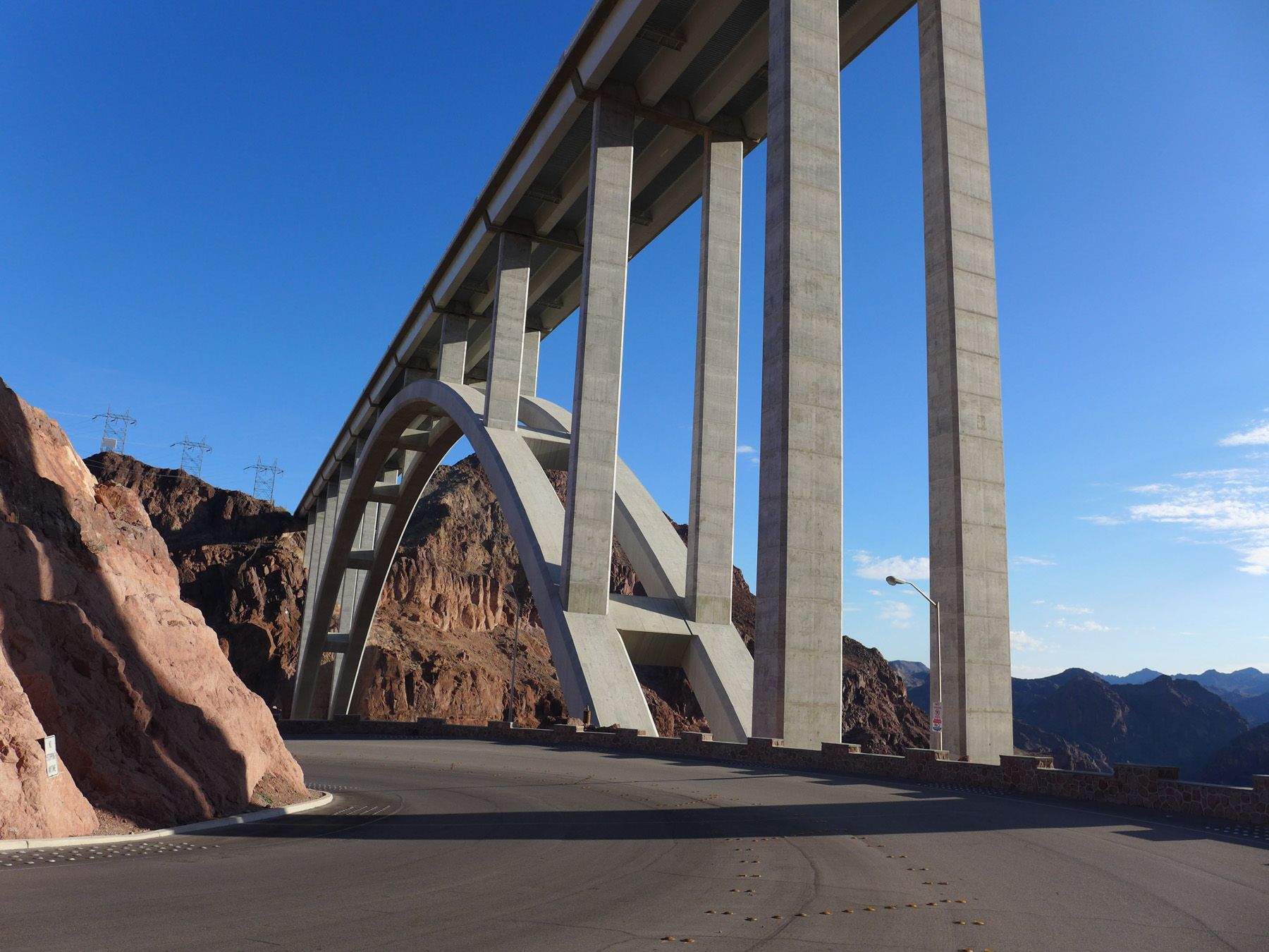
Or alternatively you could ride through Boulder City, Nevada and the Hoover Dam and the new bridge with a spectacular view from high above.


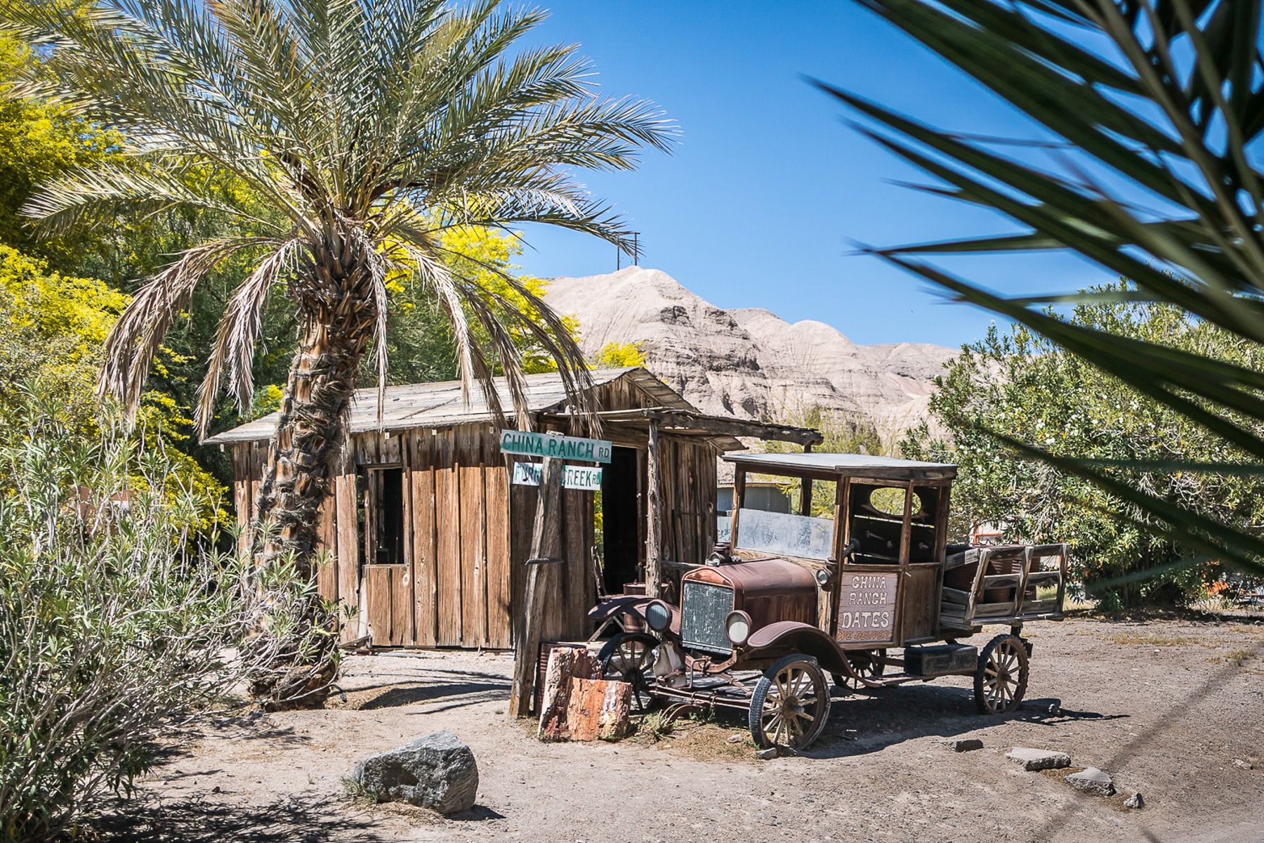
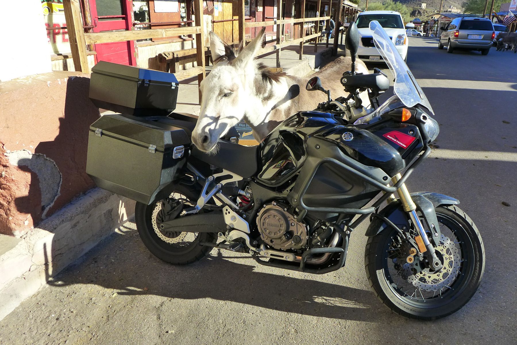
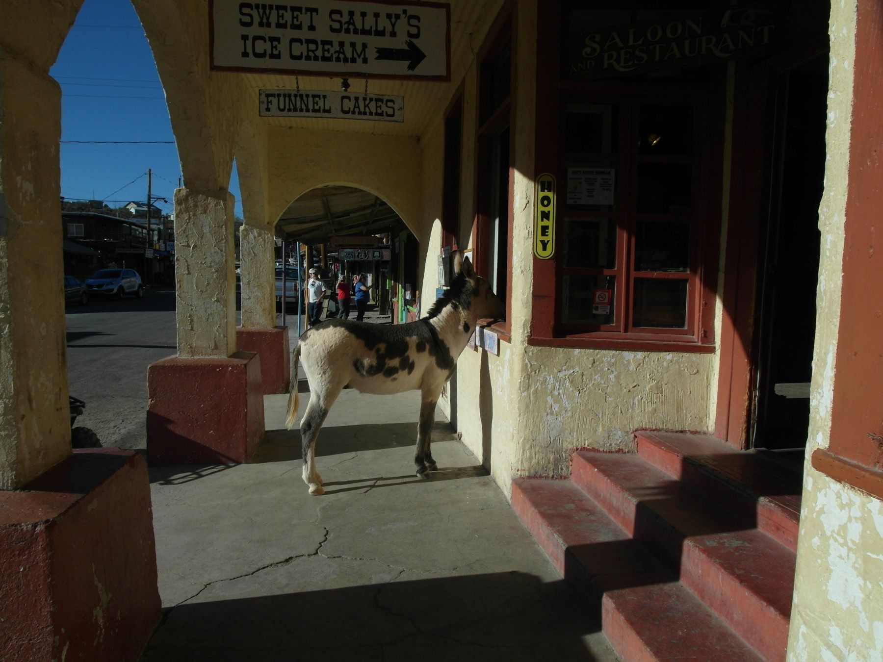
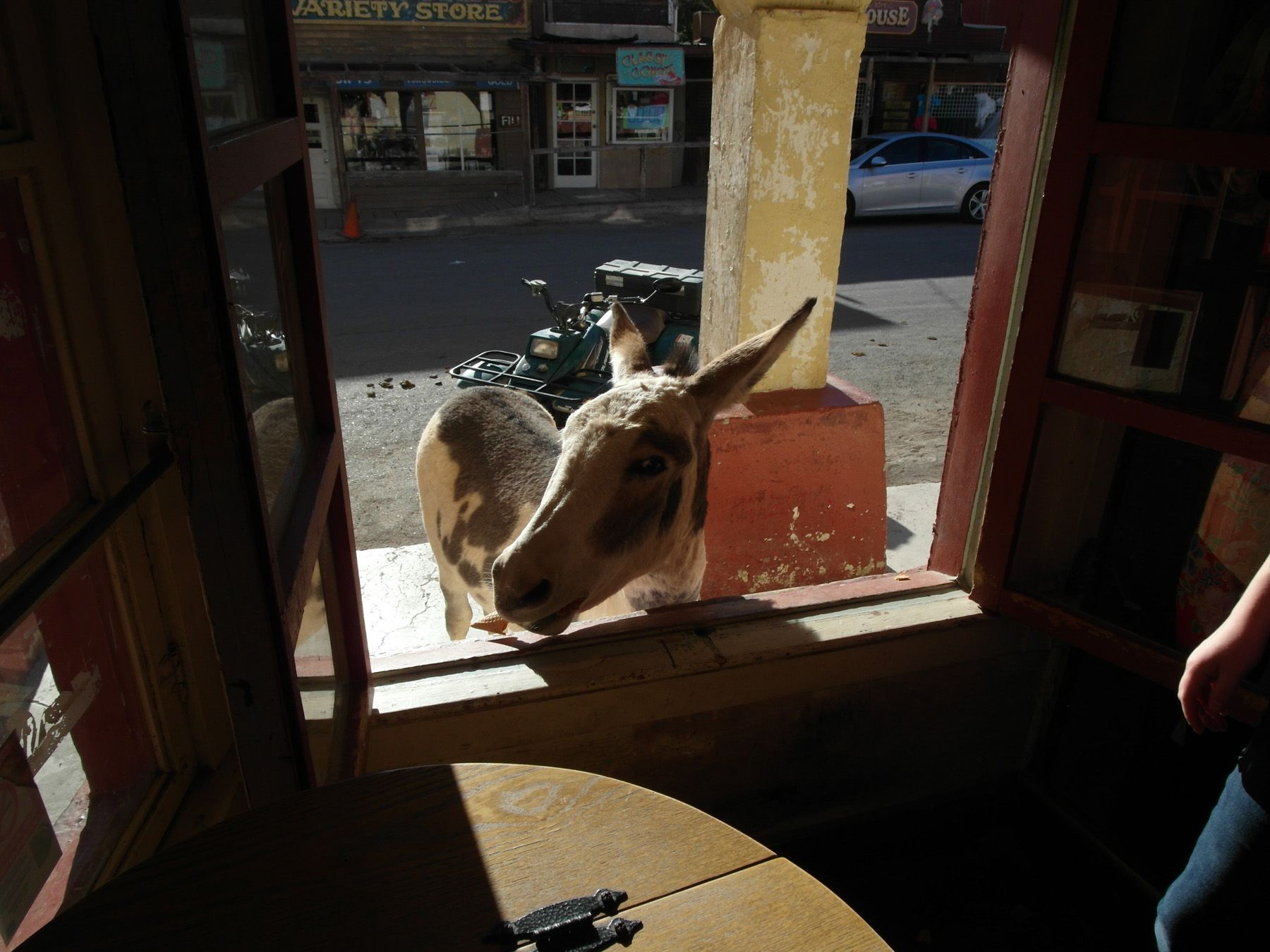
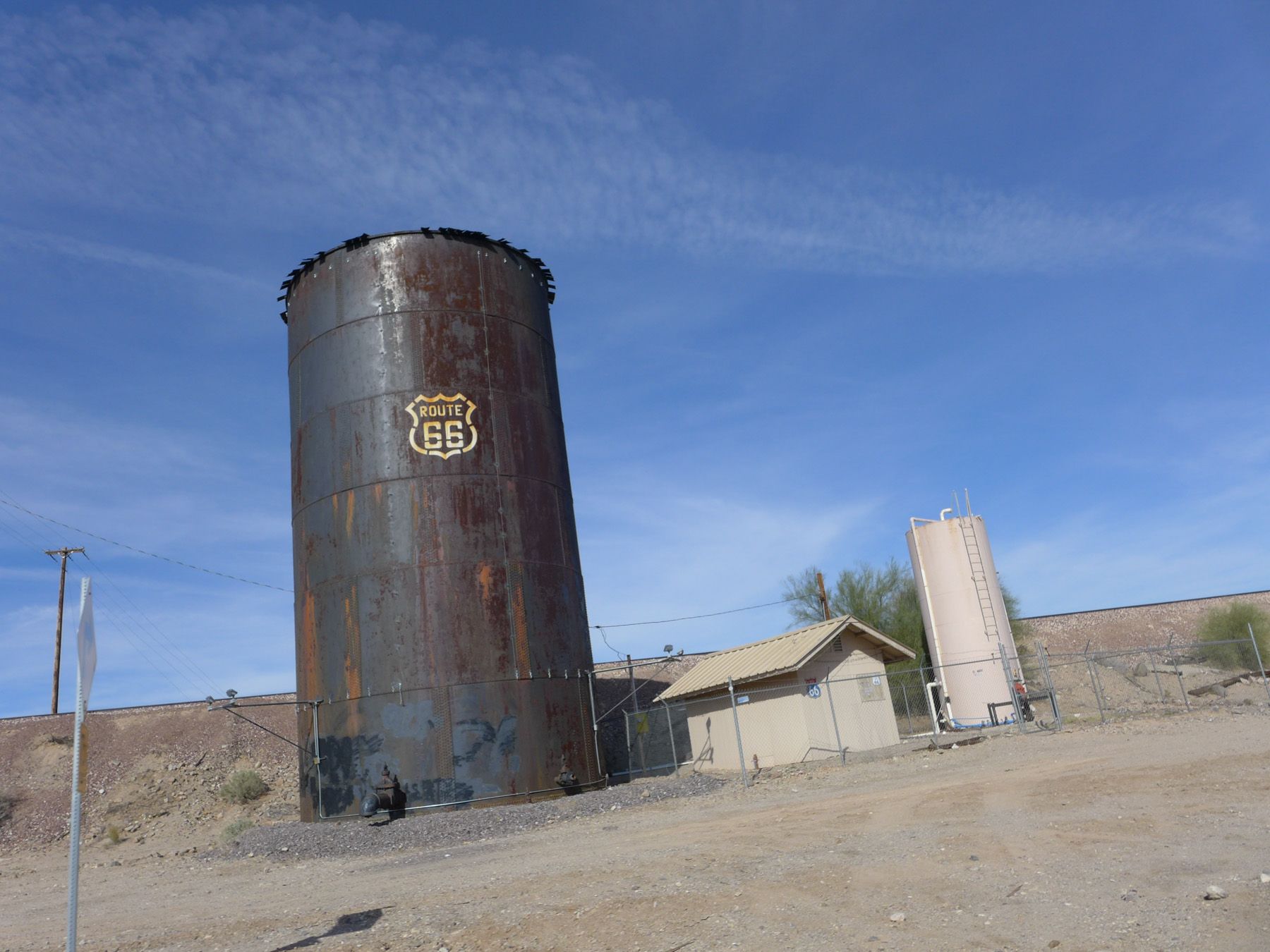
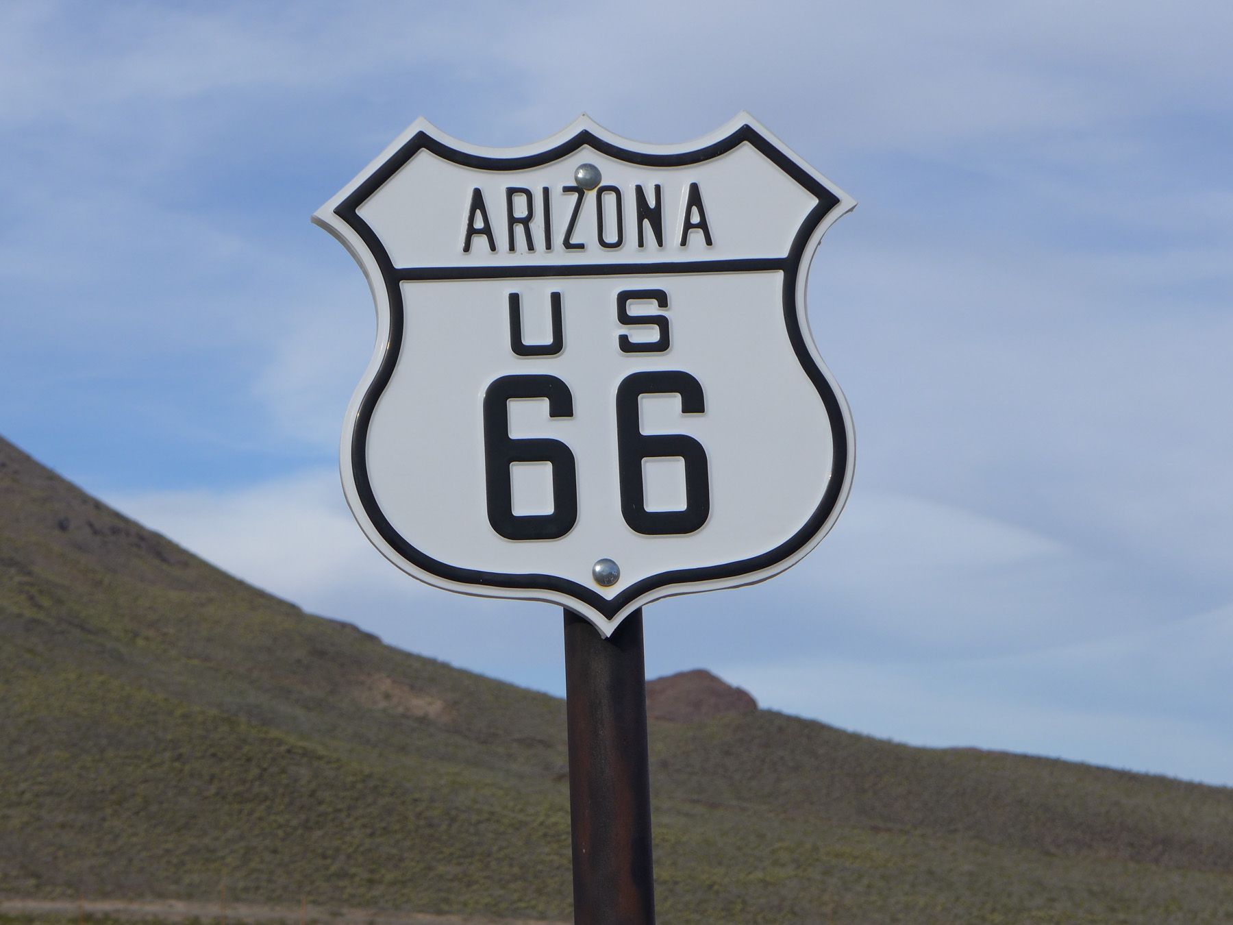
Just outside of Laughlin over the river and into Arizona is a place called Oatman, its right on Route 66 and the road section leaving the town is some of the best riding Route 66 has to offer going through some of the old mining areas. If you go for a walk around the town don’t be surprised to have the company of donkeys, they are allowed to roam free in the town!
As you descend from the mountains of Oatman towards Kingman keep following Route 66 and it goes north away from the I-40 freeway for a while and you’ll feel like you’ve ridden back in to the 1950’s.
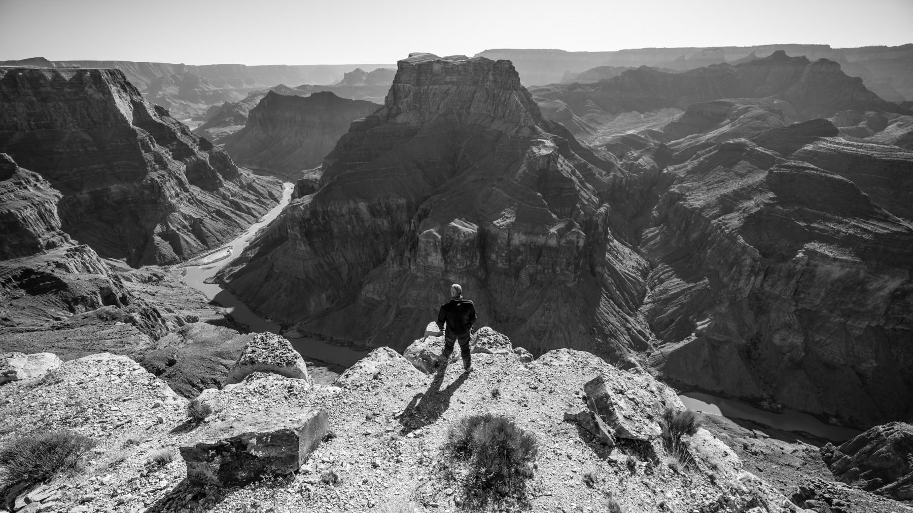
Exiting the I-40 at Williams, another Route 66 town lost in the past, look for route 64 north towards the Grand Canyon South Rim.
It obviously needs no introduction at all, but finding a great place for a unique photo can be a challenge at all of the normal tourist spots.
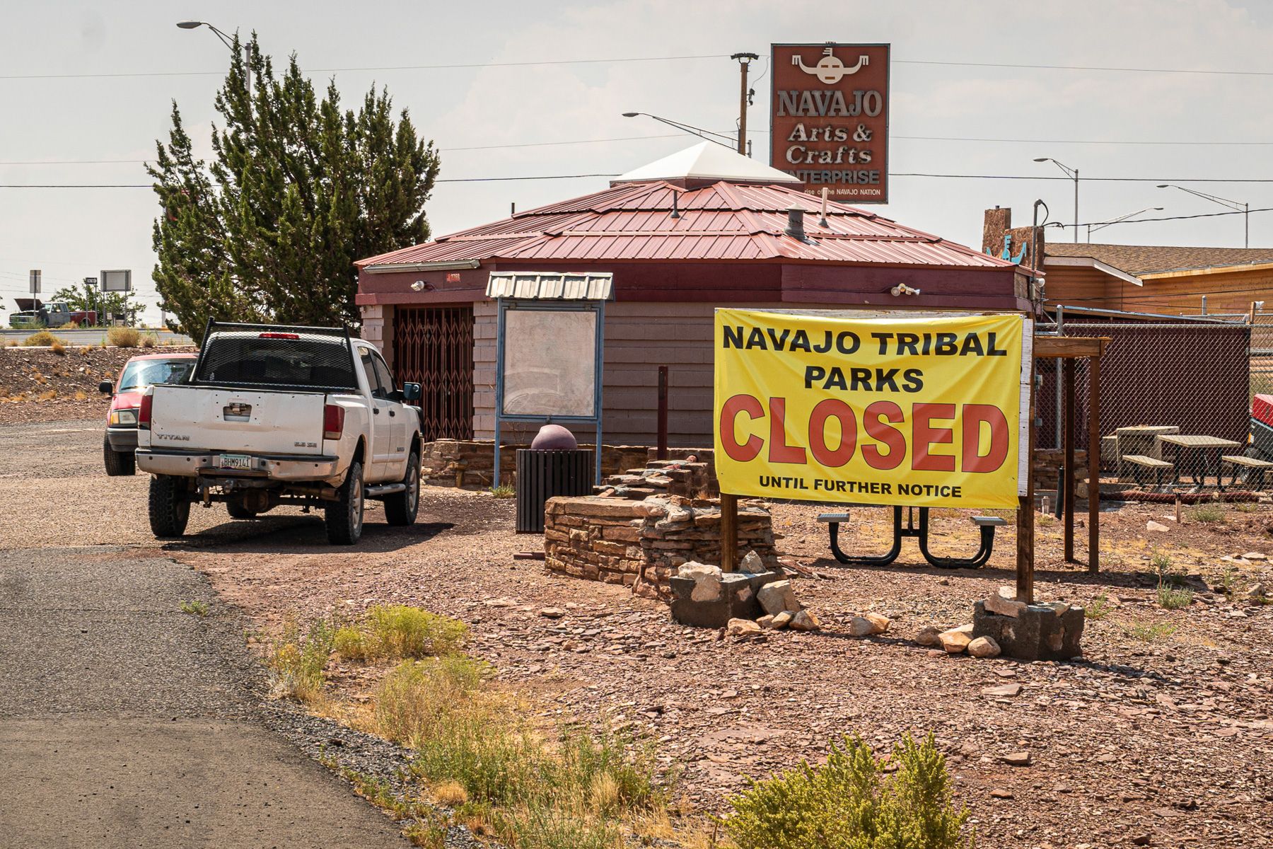
There are lots of possibilities to travel around the Grand Canyon and go to a lot of the more remote points, but be aware this is Navajo Reservation land and a permit is required that can only be bought in Cameron AZ at the official office.
If you are caught on reservation lands without this permit the fines can be severe! The office was closed during a lot of 2019, 2020 and 2021 due to Covid-19, but is now reopening but call ahead for times, or look up their website for details.
The fee for the permit is minimal but is defiantly worth it to be able to find your own spot to take it all in, without hundreds of others taking the exact same photograph.

As you head away from the South Rim you ride towards Cameron and into the Navajo Nation, if you think you might want to explore more deeply, grab your permit.


A left turn onto Route 89, which is possibly one of the most scenic long-distance roads in the whole country, and you are about to see a good amount of it in the rest of this ride.
It will take you up to Vermillion Cliffs, Marble Canyon, Navajo Bridge and Cliff Dweller Rocks.


A rise in elevation as you climb up the Kaibab Plateau, if you need more unique views of the Grand Canyon, make a left at Jakob Lake, otherwise keep riding to Fredonia and Kanab.
From here if you need to you can cut back to Vegas if you are running short of time…but you are going to miss the good stuff!
The next town is Page and any of these three towns are a good place to stock up on supplies and if you need a hotel room they are going to be in short supply after these towns.
Route 89 will change to Route 90 as you cross from Utah back into Arizona and eventually, you’ll hit route 160 where you take a left, followed by another left at Kayenta onto the 163.
Immediately outside of town the big rocks will start to appear…

Around the corner after this one is one of the most famous in this area, Monument Valley. There are dozens of different places to stop and take that iconic photo, and maybe someone in your group will quote Forrest Gump…”I think I’ll go home now!”


Stay on this same road and reenter Utah, a stop in Mexican Hat for fuel is a good option as there aren’t many options for fuel out in this remote area.
If the name sounds a little unusual, look for an upside-down sombrero as you ride towards the town, and you’ll ride past it as you leave…a dirt road will take you right underneath it.
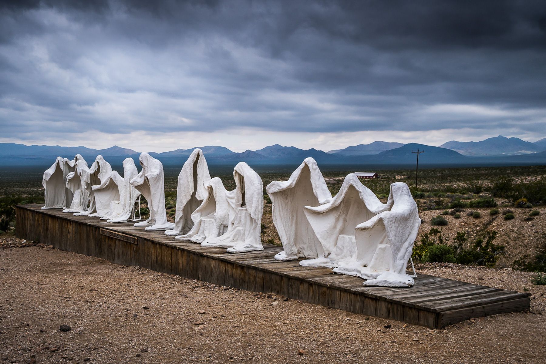
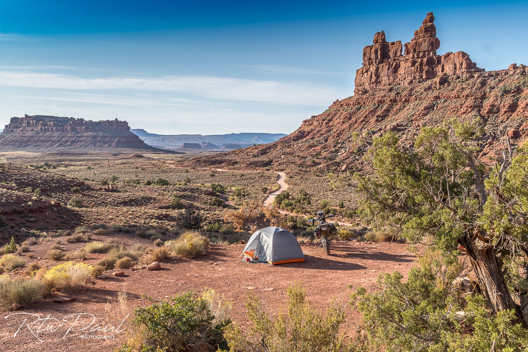
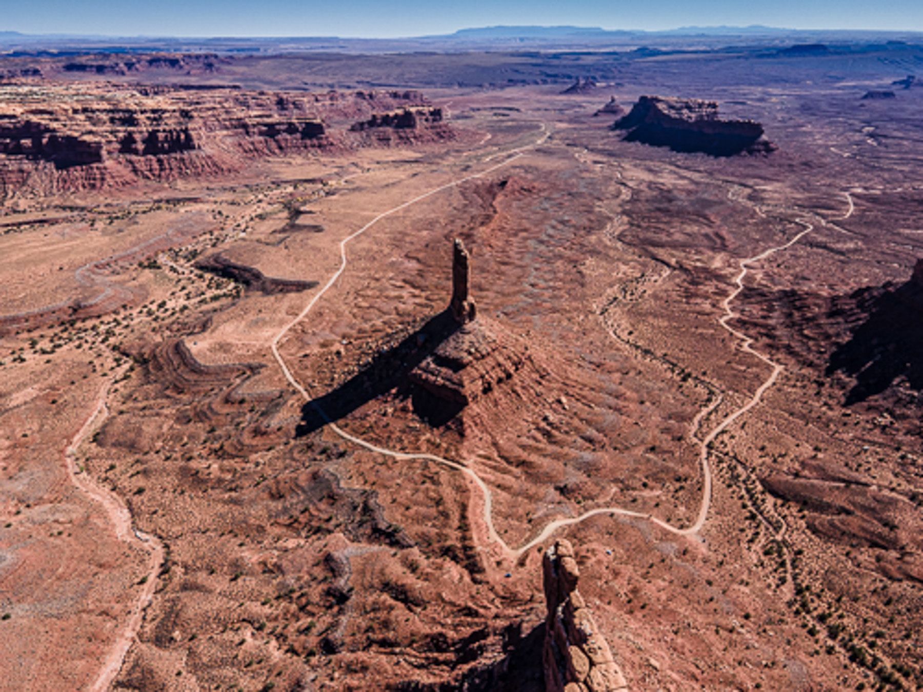
A few miles outside of town look for a left turn onto the 261, followed almost immediately by another left 316. This is a dead-end road but what is at the end is worth going to see, I’ll leave it as a surprise as its and amazing view in person and right behind the wall, you’ll understand when you get there!
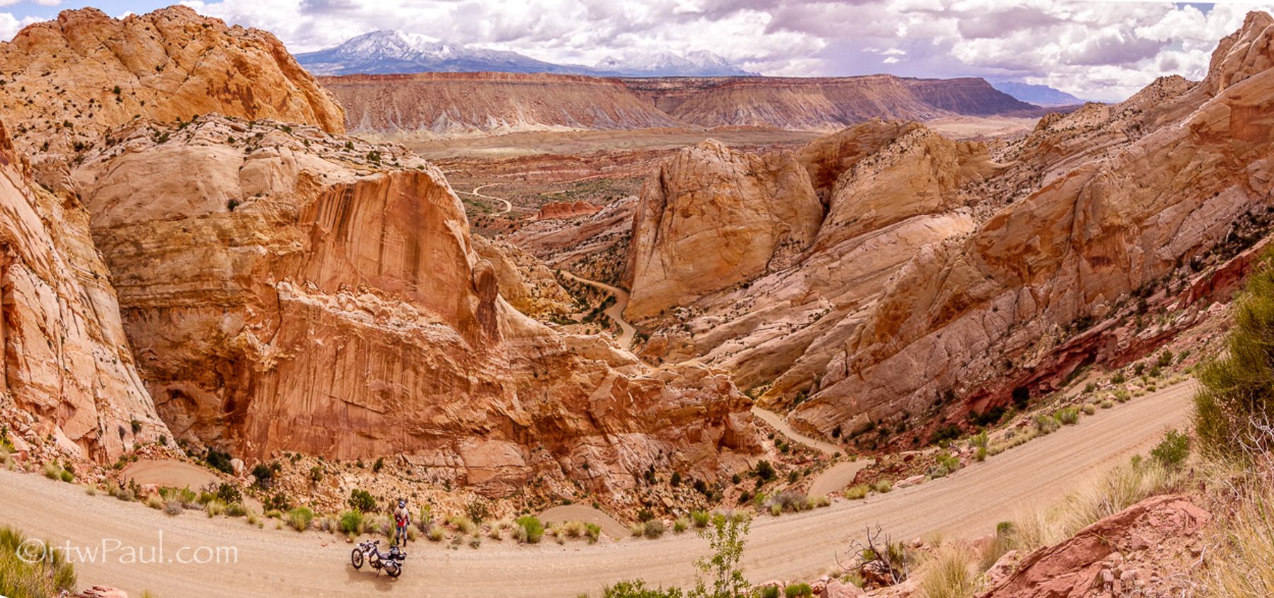
Once you have been amazed, make a U-turn and head back to the 261 and make a left again. This road will take you on pavement to Moki Dugway, and right before it starts to climb up from the valley floor it will turn to dirt. Do not miss this, as the view from the top is spectacular.


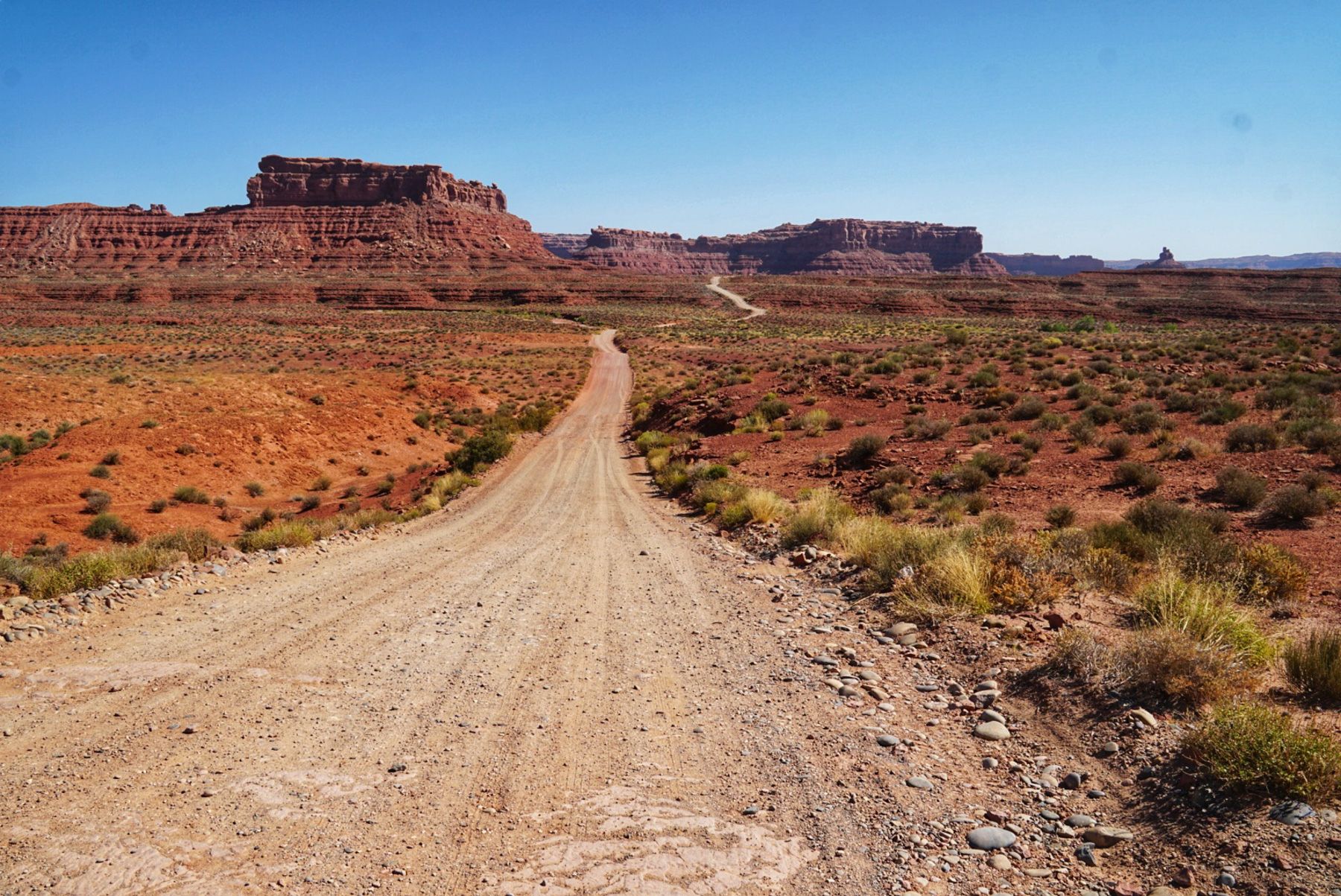
As you look down towards the road you just came up that goes off into the distance, look to the left, this is where you are headed next, Valley of the Gods.
A 17mile/ 27km ride on a well-kept dirt road that a Honda Prius could drive. The area allows camping free of charge and as you ride around, you’ll notice certain ‘great spots’ to pitch that tent I hope you have with you.
The changing light as the sunset and rises on the rock formations creates lifetime memories for sure.
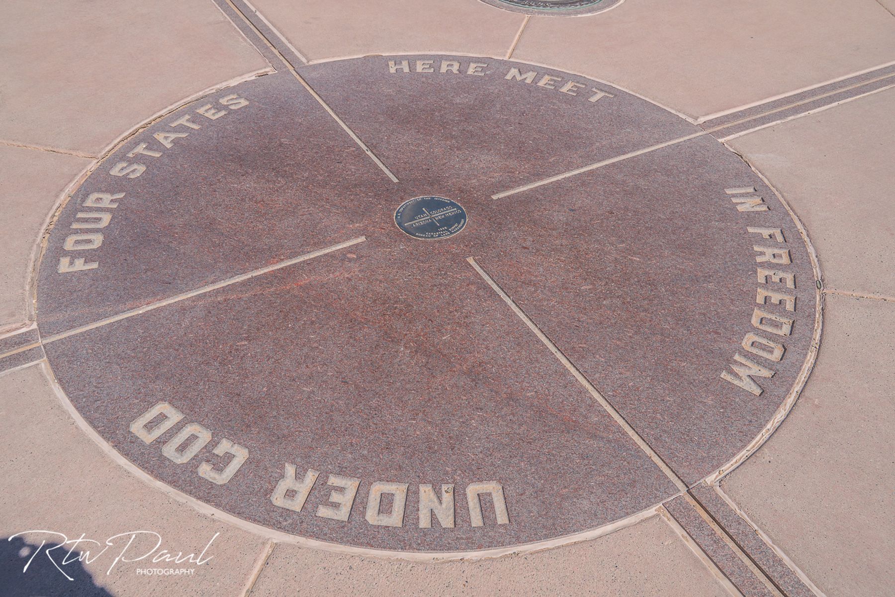
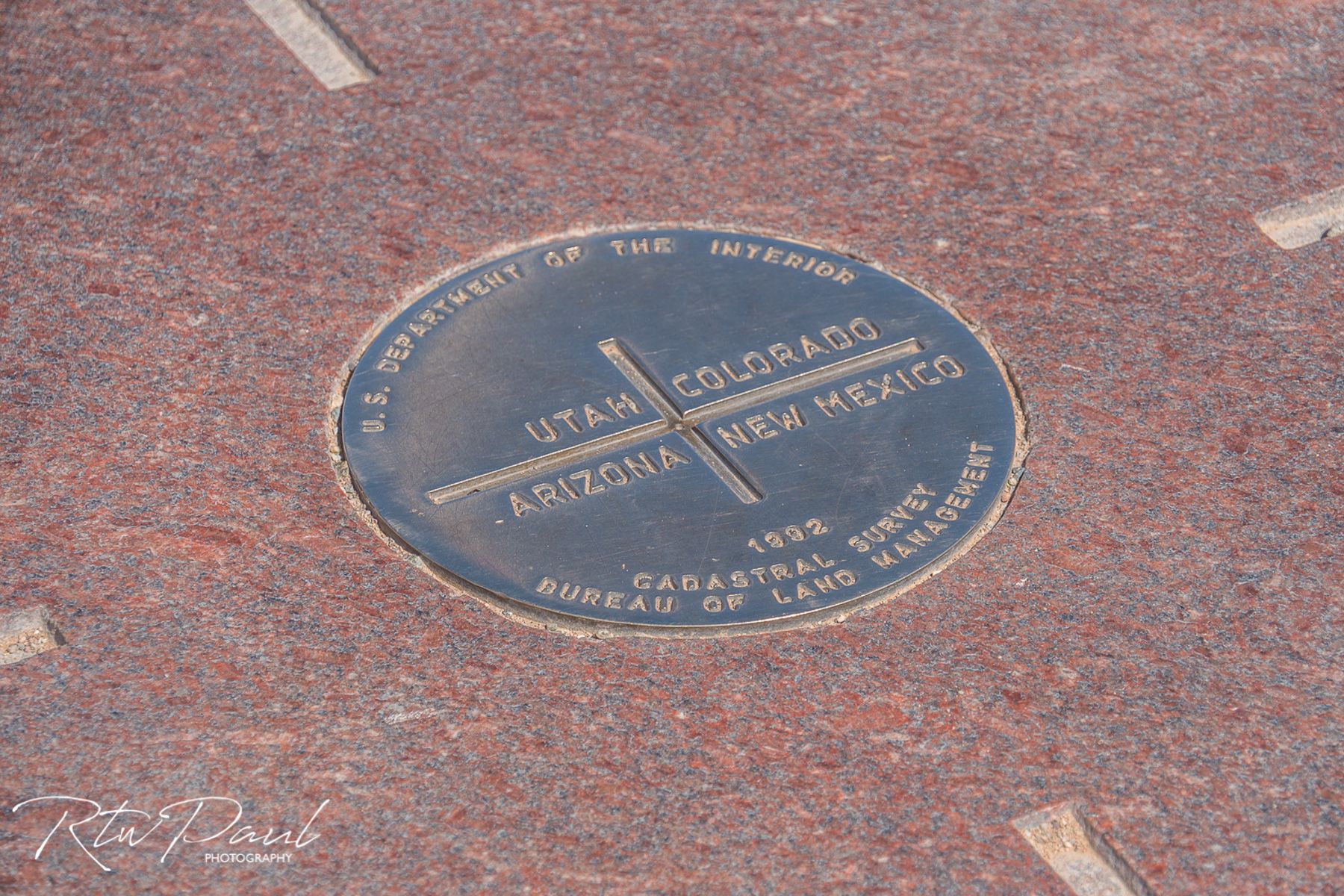
From here you’ll do a loop to the Four Corners Monument using 162/35/160/41 and back to the 162. The only place in the US where 4 states come together, but ironically it’s not in the right location, or is…that depends who you speak to.
As you head back west there are two turns you can take, for the more adventurous use the rarely used and remote road called ‘Ismay Trading Post Road’ in Aneth just after the McElmo Creek, for the less adventurous keep heading west for about 8 minutes to Montezuma Creek and a right turn for route 262.
Both roads will eventually lead to the 191, until you need to make a left onto the 95. If you’re running short on supplies the town of Blanding is just up the road from this turn.
You now will be riding Route 95 for quite a long time through Fry Canyon and sections near Canyonlands.


After about 100 miles/ 160km of Route 95 with all its twists and turns and canyon views, you’ll turn onto Route 262, which on most maps looks like a dead end…but its not!

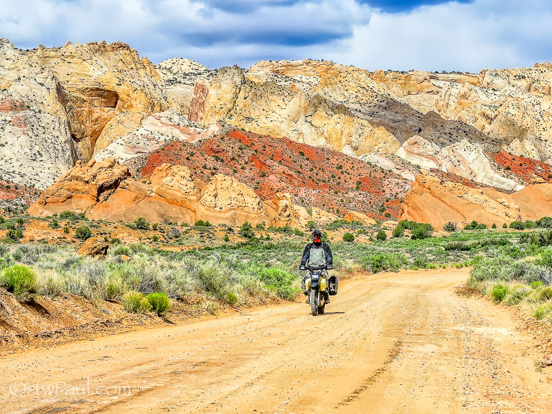
You’ll be riding a remote backcountry byway called the Burr Trail, on most maps you’ll need to zoom in a long way to find it, but its worth it.
A small section is unpaved but again in very good condition. Try to time it so you are here in the early afternoon when the sun lights up the canyon and turns it from dark brown to gold.

At the top of the switchbacks the track will turn back to pavement, and they will be no more dirt roads for the remainder of the ride. I camped here for the night because of the amazing clear skies that make the Milky Way visible.

The paved road will take you through the bottom of a canyon, which I’ll leave as a surprise and eventually you’ll end up in a little town called Boulder.
Make a left towards Escalante which has a little more selection if you need supplies, and the ride there along Route 12 is the ‘Devils Backbone’ with shear drops off either side of the road.
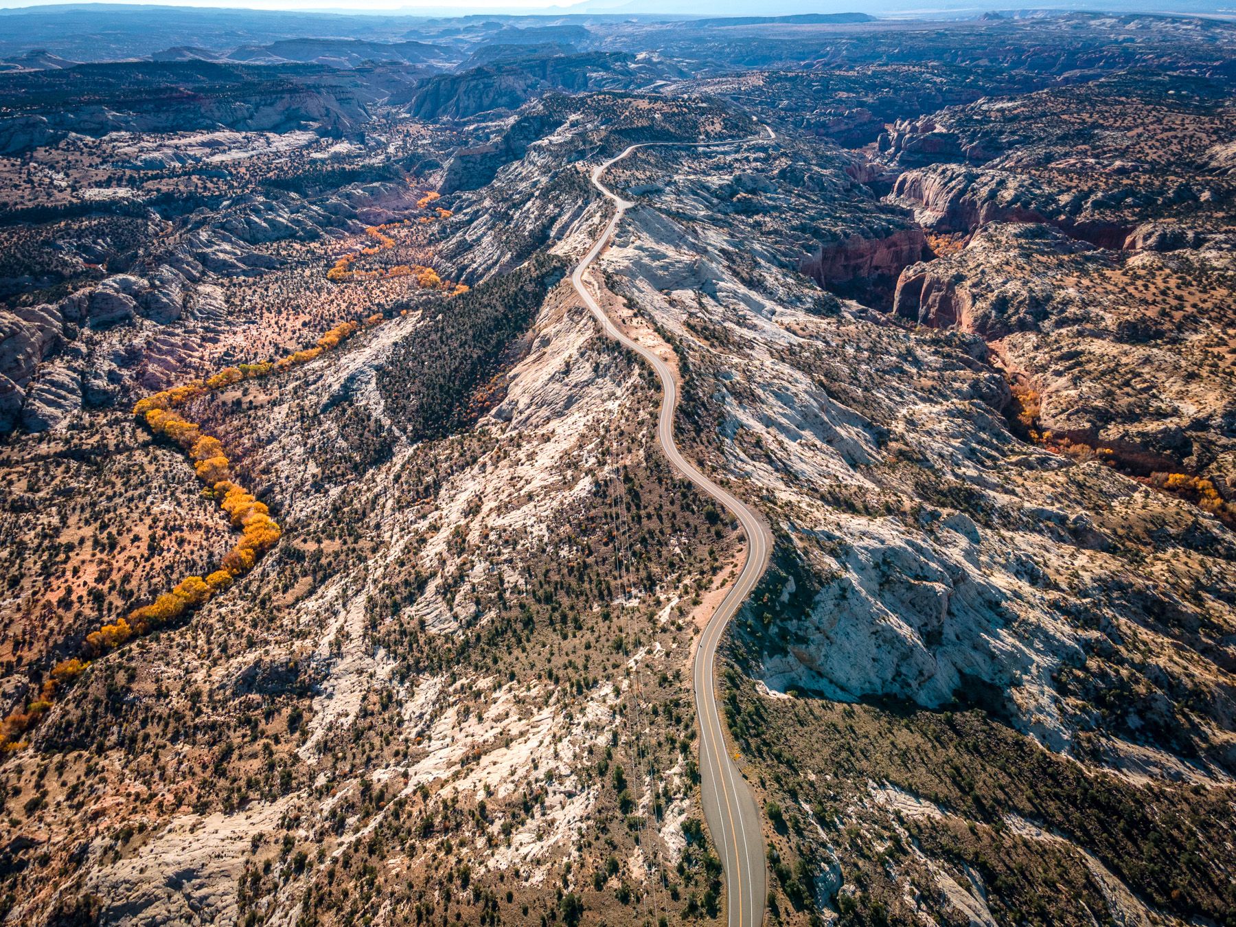
Route 12 will be your home all the way back to Route 89.


there is an optional stop at Bryce Canyon, well worth it in my opinion and Inspiration Point just a couple of miles inside the park has easily the best view.

Take the Route 89 to Mt. Carmel Junction and make the turn to Zion National Park, you’ll ride through the park and out the other side towards the I-15 freeway.

Zion is a great ride and difficult to capture on a couple of photos as there is so much to see. Instead of photos I put together a short video on my YouTube channel of the ride, this was in early November to give you an idea of what it’s like…warm, about 25c that day!!
Zion National Park - A Relaxing November Sunny Afternoon Ride
It may seem surprising to be heading back to Las Vegas on a freeway after so much great backcountry riding, well, this section from St. George will take you through the Virgin River Gorge and it’s a must ride, because again, amazing views.
Jump off the freeway for the last section to Las Vegas, towards Moapa Valley and if you still want to see more red rocks then Valley of Fire is right here. Otherwise, Northshore Road will take you all the way back into Las Vegas.
The complete route is 1622 miles/ 2610 km, you know your own pace, but I would suggest at least 5 days or more to complete this.
The best time of year to do this is in the spring or fall. The summer months are excruciatingly hot and not advisable as temperatures can be consistently above 110f/ 43c.
Click here to download the GPX file.
Read America Winter Riding Routes part 1 and other stories about RTWPaul
To know more about Paul go to:
#FORYOURRIDINGPLEASUREONLY