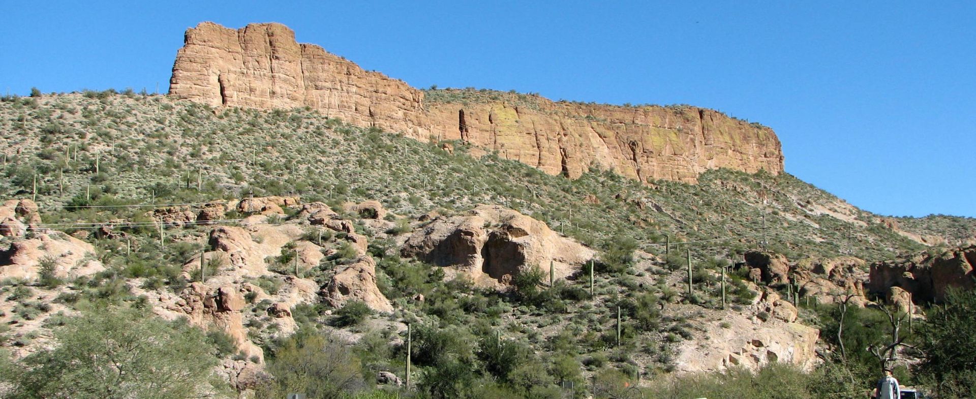
SR 88 begins at a diamond interchange with US 60, the Superstition Freeway, in southern Apache Junction. The route follows Idaho Road northward through a residential area with four lanes. Following a junction with Old West Highway, SR 88 turns northeast onto Apache Trail and narrows to two lanes. The route exits the city limits of Apache Junction, entering desert terrain. Passing a ghost town known as Goldfield, Apache Trail enters Tonto National Forest just northwest of Lost Dutchman State Park. SR 88 nears Canyon Lake south of the Mormon Flat Dam and follows a part of the southern coast of Canyon Lake. Apache Trail heads away from the Salt River. It passes through the town of Tortilla Flat, becoming an unpaved dirt trail winding eastward through the Superstition Mountains. SR 88 again turns northeast and nears Apache Lake. The route follows the Salt River northeast to the Theodore Roosevelt Dam, near which the route is again paved. SR 88 intersects with SR 188 along the coast of Theodore Roosevelt Lake
Community-Fotos
Seien Sie der Erste, der Community-Fotos hinzufügen
Von der Community bewertet
Noch keine Rezension vorhanden
um als Erster eine Rezension zu verfassen, die Ihren Biker-Kollegen auf ihren Fahrten in aller Welt hilft.


