But what do you do when you only have a few days to spare? And what if it's a long way to go? Ride anyway because in four days’ time you can experience a lot.
Western Alps compact
Motorcycle Diaries
To ride a motorbike in the Alps at least once a year - that was my goal a few years ago.
Dark and dangerous clouds pile up over the Mont Blanc Massif and the wind freshens. We were lucky on the first leg of our journey. Only a short shower at Lac de Gruyère. And dry for the rest of the trip. After about 700 kilometres on the motorway we take the Martigny exit onto the Route de la Forclaz and fully appreciate the dry bends over the pass of the same name. Landscape and lean angles, at last. We sweep away the commuting dullness with a twist of the wrist. We see the first flash of lightning already twitching over Chamonix, closely followed by a deep rumble of thunder, which is obviously intensified by the steep rock faces. Gravel and sand make their way up to the main road and the Arve - a small tributary of the Rhone - visibly becomes an angry mountain stream. We ‘seek refuge’ for almost 12 kilometres in the Mont Blanc tunnel and hope for warmth inside and better weather conditions on the Italian side of the mountain massif. In vain, so it seems.
Our destination for the day in Séez, France, is less than 60 kilometres away, but the ride over the Little Saint Bernard at 2188 metres is a tough one. The temperatures drop as dusk sets in early due to bad weather, and the rain suits are no longer able to withstand the steady rain. The ruins of the former hospice rise spookily out of the fast-moving wispy clouds. Napoleon III was responsible for the connection between Val-d'Isère and the Aosta Valley. Presumably Hannibal chose this route when crossing the Alps and the peloton of the Tour de France even passed this Alpine border point four times. At that moment I couldn't care less: my boots are drenched with water. We hurry towards the finish at a speed that is just about manageable. Above Séez the warm aura of the Hôtel Belvédère attracts us mosquito-style. We are warmly welcomed and end the somewhat rough day of arrival with a beer and hearty food. We embrace the thought that we decided against the tent option. We would have been squatting in our plastic shelters somewhere on the Petit Saint Bernard in the cold, wet darkness.
The next morning the world looks much less gloomy and the still tentative sun makes the humidity evaporate towards the sky. We have a lot to do today and must get a move on. The focus of our short trip is the Assietta Ridge Road. If the weather doesn't cooperate or we waste too much time on the naturally beautiful and winding journey to the great gravel pleasure, it won't work, because tomorrow we must head north again - at least if we want to avoid a forced ride home. And this plan is high on the agenda. We follow the course of the Isère past Lac de Tignes to Lac du Chevril, where the river is dammed. At the time of its construction in the 1950s, the 180-metre-high dam was considered the largest arch dam in Europe. However, the inhabitants of Tignes had to vacate their homes for the impressive structure, as the village disappeared into the floodwaters of the reservoir as planned in 1952. Needlessly said, the preceding resistance of the population was correspondingly great. Today's Tignes is a winter sports stronghold and one of the most prominent ski resorts in France. It's hard to miss, because along the pass road to the Col de l'Iseran, the lift posts stick out of the landscape like salt sticks from a Mettigel.
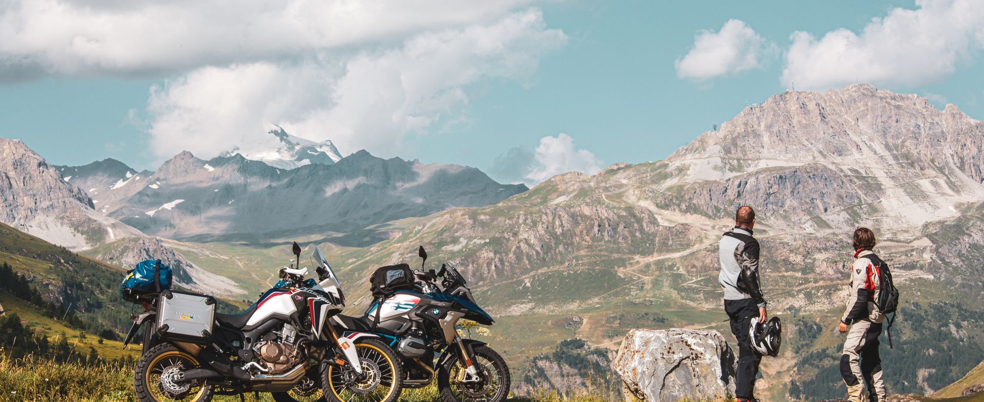
Without snow, the winter sports infrastructure looks less magical. The mountains that rise above it, however, are breathtaking. When I look at the Alps, I always feel as if I am seeing the high mountains for the first time. The effect of this panorama does not wear off even after days and weeks. On the contrary, the longer I spend in the mountains, the more connected I feel to the rugged morphology of this tectonic wonder of nature. In one of the first serpentines of the pass road, we stop to let the now sunny scenery take its effect on us, while behind us motorhomes, cyclists, and motorcyclists rush towards the highest pass in the Alps, 2764 m high.
Starter on, pathos mode off - now all attention is on the road, and we give in to the lean angles. The top of the pass itself is - how could it be different - well frequented, which is why we put the spurs to the GS and AT. If you like to swap your motorbike shoes for hiking boots, it is relatively easy to climb up to the Pointe des Lessières at just over 3000 m from the car park and look at the hustle and bustle on the Iseran from above.
On the south side a gravel road branches off to the bank of the Ruisseau de la Lenta, a crystal-clear mountain stream. Not far from the stone houses, which are loosely spread over the slope and seem very primitive, cows graze and are not distracted from their day's work even by the sound of the two-cylinder engine. The sun is already high, and we have to move on. This is the downside of a short trip - no time to dawdle, no chance for leisure along the way.
In Lanslevillard, the road to the Col du Mont Cenis turns off. Five stately bends and several meanders later we cross the top of the pass and shortly afterwards look out over the Lac du Mont Cenis, which could rival the Mediterranean for its turquoise waters. We are awe-struck, stop here and there for a photo and decide to spend our lunch break on the wooden terrace of the restaurant Le Hott. The view is fantastic, as is the food. But unfortunately, we can also see the clouds forming further south over our destination. It will be fine. Behind the dam wall the road still tumbles through alpine barrenness, but soon disappears into lower and more vegetated terrain as it crosses the border into Italy in the direction of Susa. After the riders, the motorbikes are fed here, and the tanks filled. We would like to stay at least for an espresso, but the mountains of clouds are already piling up over the Colle delle Finestre. So, we continue quickly. The next waypoint in the GPS is the junction to the Assietta ridge road.
Driving yourself dizzy is a popular euphemism among motorcyclists, but there is hardly any other way to describe the ride up to Colle delle Finestre. Just as we accelerate out of one bend, the brakes are applied for the next. At times, the Enduros must be circled around the bends in first gear and with a grinding clutch. And it is steep. You can see the strain on the scattered groups of cyclists, some of them carrying small luggage and fighting their way up with muscle power, and they have my respect.
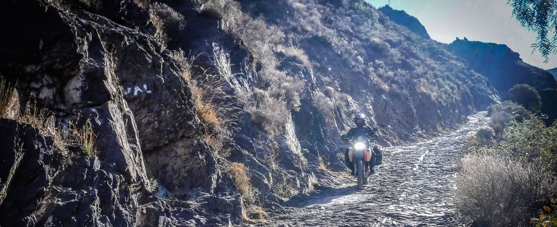
As the terrain opens, the road first turns to crumbly asphalt, then to gravel, and we can get used to riding on loose ground.
Arriving on the south face, we take a short stretch of asphalt before finally entering the Assietta ridge road in a bend. The first kilometers are a bit rough; the gravel is the size of a fist and to our left there is a vertical drop. Although we set off without camping equipment, there is all sorts of stuff on board of our machines. As it happens, existing luggage capacities are usually exhausted, regardless of the nature of the journey. Now every unnecessary pound becomes a nuisance - even though the AKS soon shows itself from a less demanding side. There is even unexpectedly little going on up here.
The 35 kilometers of trail are extremely popular due to their moderate demands on material and riders and are correspondingly densely frequented. You often read about touring motorbikes or even sporty naked bikes that are maneuvered with a full crew to the summit assault through the graveled mountain world. Riding pleasure is obviously in the eye of the beholder because we are quite happy with our long suspension travel, ground clearance. With the light gear over-motorization, we don't have to pay too much attention to the ground and can keep one eye on the landscape even at a brisk pace. Clouds and fog cover the surrounding peaks from time to time, but overall, the weather is extremely kind to us. At the obligatory photo stop on the Assietta pass, the sun even shines. What more could a trail bike heart want? On the following kilometers to Col Basset, we are alone on the track, which is almost at the same altitude in this section and is not very demanding from a riding point of view. Here and there a few washouts, mud puddles and some fun bumps - otherwise the high alpine terrain offers no unforeseen surprises. However, we no longer get a view of the valley and Mont Chaberton, which can obviously be admired from up here in good weather conditions, remains hidden in the clouds.
The mix of wispy fog, holes in the clouds, dramatic light and grandiose scenery makes us almost euphoric, and when we pass a group of 4x4 vehicles with roof tents set up shortly before we leave for Sestriere I regret that we didn't at least bring mats, sleeping bags and a bottle of wine to spend the night under the open sky. When the surrounding mountains already shade Sestriere, we park the muddy enduros in front of the hostel, extremely satisfied with our day's work. If things go as well as they did today, it's easy to set off for a short trip to the Alps.
The next morning we saddle up early and head north with a heavy heart. We would prefer to continue towards the Mediterranean, happily gravelling. We briefly discuss whether it is still somehow feasible to include the Col d'Izoard and Col du Galibier in our route, but in the end the sacrifice of further delicacies is the toll we must pay for the tight time window. About 1000 kilometers separate us from our home in the Eifel, and since we already have a toll sticker for Switzerland and don't want to pay additional tolls in France, we decide to aim for Switzerland with as many bends as possible and a detour into the Aosta Valley. The fact that the GPS takes us partly along routes we've already ridden doesn't seem too dramatic, because Col du Mont Cenis and Col de l'Iseran certainly don't look any less beautiful when you look north. No sooner said than done.
Another pizza to fortify ourselves, a jet-black espresso afterwards and our tour is already running like on the rewind button. Top priority is given to bends, stopping only to refuel. In the afternoon, we again look at the Mont Blanc massif, but now turn east - heading for Aosta and from there to the Great Saint Bernard. But the closer we get to the final Alpine act, the gloomier the sky becomes and soon the water is back on the roads and in the boots. A brief discussion of the situation at the roadside unanimously gives priority to the tunnel. On the ramp, thunder drowns out the sound of our engines - déjà vu. At the bargain price of 26.90 euros per motorbike, we disappear into the mountain and hope in vain for better weather during the almost six covered kilometers. And so, the journey ends as it began. The countless impressions of the last three days are densely packed in our heads and overshadow the not-so-pleasant part that still lies ahead. For a long weekend in the Alps? I would do it again at any time.


