Greatest riding roads in Europe: Top 10
Motorcycle Diaries
Passo dello Stelvio: Italy
Think of Italy and its mountains, and the word ‘Stelvio’ pops up inevitably in the next sentence. At an elevation of 2.757 meters above sea level, it is the highest paved mountain pass in the Eastern Alps - only just surpassed with 13 meters by the French Col de l’Iseran as highest of the Alps. The famous side is the south side as it is featured on about every picture of the pass you find on the internet. And rightfully so, as it never ceases to amaze. The backside, coming from Bormio, is however also rather pretty - it might not be the best known, but for us motorcyclists it's the nicer side. Imagine equally beautiful views, but with a lot less tourists and cyclists. Watch out for mountain goats crossing the road, though. We doubt you’ll be able to spot it from the top of the Stelvio, but 50 kilometers down the road, resides the Resia Lake - home to a village - Graun - which got submerged in the fifties in favor of a new drainage-basin. Only proof of its existence is the 14th century church tower, proudly rising above the surface. If the weather allows it, put on some flippers and grab your snorkel, as the remains of 163 Graunish houses still stand a few meters below the surface.
See the Passo dello Stelvio on the map.
Grossglockner Alpenstrasse: Austria
The GrossGlockner Alpenstrasse is one of those must-rides as well. An immaculate stretch of open road, which carves its way up and around the Alp of the same name - the highest of Austria, with 3.798 meters - through flowered meadows, passed glaciers and rocky backgrounds for 68 kilometers, astonishing you with eye-wateringly beautiful scenery after every hairpin bend. Starting from Vorfusch - a few miles south of snowboarding enthusiasts’ favorite Zell Am See - it reaches Winklern in a way you’ve dreamt about for years now. While your bike sniffs the perfectly smooth asphalt, you can hear the marmots whistle, see how waterfalls carve out the landscape a bit more with every precipitant drop - all without having to worry about speed limits: at 100 kilometers an hour, you’re not exactly held back by law. A few miles further on, the Pustertaler Höhenstrasse will entrance you for another 30 kilometers of mountainous curvature, before the Dolomites and other Italian splendour await. Just make sure to check the weather forecasts: if you plan on riding at the end of April - beginning of May, there might still be heaps of snow on and next to the road.
See the Grossglockner Alpenstrasse on the map.
Trollstigen: Norway
If you've ever lent an ear to a biker telling stories about riding Norway, chances are you’ve heard the word ‘Trollstigen’ about fifty times, each time accompanied by a different superlative. And rightfully so. As one of the most famous National Tourist Routes, Trollstigen - literally ‘The Trolls Road’ is a feast to all of your senses. If you see it from the right height and angle, you can feel the view hit you in your stomach. On this road, even the bravest of motorcyclists will feel the adrenaline pump through their carotid artery. The stretch of road that creeps up the mountain is not particularly long, but the National Tourist Route from Geiranger to the bottom of Romsdal valley covers well over 100 kilometres. A trip which will take you through the mighty nature and fjords of Norway while spoiling you with breathtaking views, steep mountain slopes and high waterfalls. Framing the experience are lofty mountains with names like The King (Kongen), The Queen (Dronningen) and The Trolls Wall (Trollveggen). For the Trollstigen itself: you’ll have to twist your way through eleven hairpin bends as the road - which is carved into the mountain and supported by stone walls - climbs up to Stigrøra, 858 metres above sea level while an impressive bridge carries the road across the Stigfossen waterfall. An experience which will wander through your mind until your final breath.
See the Trollstigen on the map.
Transfagarasan: Romania
If there’s one road that ticks all of the above-mentioned boxes, that would be the Trasfagarasan Highway in Romania. It consists of hundreds of twists and turns, cutting in an eye-wateringly beautiful way through the heart of the Carpathian mountain range. Bonus points: that would be right in the center of the middle of nowhere. Bingo, a perfect road, all to yourself? Well, not quite… Ever since BBC’s Top Gear stormed the flanks of the Romanian marvel and rated it one of the best driving/riding experiences on earth, the place has turned into one of the country’s tourist hotspots. So not only is it incredibly difficult to pronounce correctly, it will also be a pain in the ass to try and devour it at near illegal speeds. Any time after breakfast will have a flock of selfie addicts raining on your parade, so prepare to join an endless train of tourists sticking phones and cameras out the car window to record their excruciatingly slow climb of the world’s most famous set of hairpins. Waiting for the high season to pass won’t be helpful either, as the highway has a very slim opening window: as it rises over 2.000 meters above sea level, it’s shut from October to June. So pick the right period, wake up before dawn and beat them all to it, mount a set of spotlights and devour it once more after sunset. If ever anything was worth an extra bit of time and effort, this would be the one…
Col de la Bonette: France
Over to the highest mountain road in Europe - the French Col de la Bonnette - peaking at a massive 2.807 meters. Although the actual pass finishes at around 2.700 meters, an addition takes it to the full height, a recent one that the French added to retain the title. A proud people, remember? The ease of the ascent might actually surprise you, as the road surface is as smooth as baby buttocks and the backdrop gets more beautiful by the inch. As the altimeters add up, so does the contrast between the vegetation at the bottom of the pass and the arid, volcanic surroundings at the top. As you get higher, the road gets more and more challenging - but it is a test that rewards you almost immediately with one of the most dazzling views in Europe. But that’s not all: riding down the other side of the mountain will treat you to a race circuit-like experience, supplemented with a breathtaking dive into the valley. And the difficulty level of the pass gets inversely proportional compared to the side you’ve already conquered: as you descend further, the corners become more and more testing, but the road surface gets better, due to the regular passage of the tour de France. One to devour and cherish, over and over again. Great stuff.
See the Col de la Bonette on the map.
Furka Pass: Switzerland
Not far behind the elevation levels of the latter, the Swiss Furka Pass will also provide a truly magnificent, scenic ride - fraught with panoramic views, twists and turns. And snow - as the Furka is situated in one of the snowiest regions of Switzerland, and reaches a height of 2.429 meters. The road is closed in winter and anytime the road is not cleaned of snow. So plan well ahead. Having said that, it is also one of the world’s most iconic, invigourating and exciting rides, carving straight through the Swiss Alps. If the pictures look familiar, that’s no wonder either: the pass was casted as the dramatic backdrop for the car chase in James Bond's Goldfinger from 1964. The one with the Aston Martin DB5 and the Ford Mustang convertible, for the faddists. But you might want to take care while storming its flanks: the Furka Pass is also looked upon as one of the most dangerous and difficult mountain roads in the world. The steep slopes aren’t easy to navigate - in particular the first part of the climb - but at least the road is wide and smooth. Make sure to be extra careful in dark or rainy conditions. However once you hit the road, be prepared to capture the sites like the Rhone glacier, the Schöllenen Gorge, numerous valleys and small Swiss villages. Furka Pass sprawls over the spectacular surroundings, providing a breathtaking experience.
See the Furka Pass on the map.
Velefique: Spain
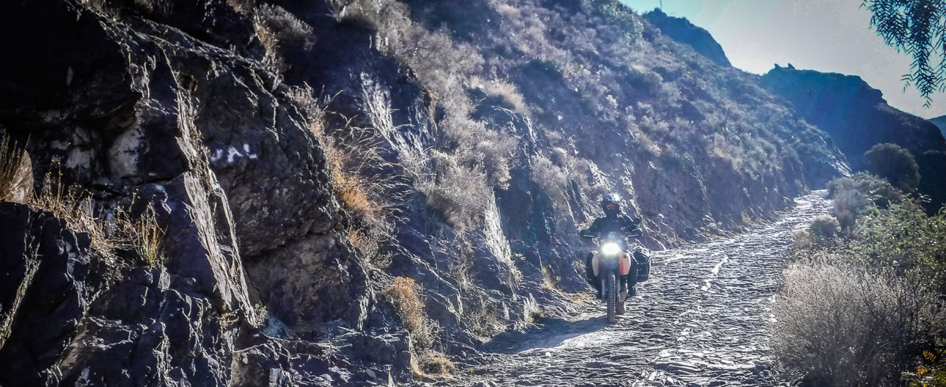
Tucked away just north of the Tabernas Desert, and a few kilometers east of the Sierra Nevada, lies this 31 kilometer long stretch of magnificence: the road leading from Bacares towards Velefique. Imagine a desert-like scenery - rather typical of a region which gets little rain - with an immaculate streak of asphalt draped all over it. The largely rocky landscape is something of an acquired taste, but Velefique is sufficiently dramatic and challenging to real appeal to motorcyclists. Quality-wise the AL-3102 is a far easier road to ride than some other mountain passes we’ve listed, as the switchback corners aren’t that tight, the road surveying is much more generous and the surface quality is top notch - rather typically Spanish, in that manner. It is recognisable by the high number of hairpin bends throughout the climb, which make for a great view as you look back down the mountain. Another option is to climb towards Puerto de Velefique via the southern edge of Velefique on the ALP-405 and to follow the same road to the top of the climb, which is marked by a brown sign. Either way you eventually decide to clamber it, take your time at the top to behold the marvellous blacktop laces diving into the valley.
See the Velefique road on the map.
Tourmalet: France
We love the Tourmalet, except for the ever-present fog which seems to surround the mountain. What's the point of riding up a col in the fog? Maybe the view above the clouds? Exactly. The Col du Tourmalet has always been a legendary place for (motor)cycling, following the D918 to climb out of Luz Saint Sauveur and devour the next 20 kilometers at an average gradient of 7% to the pass. Whilst many mountain climbs are famous for their hairpin bends, this climb is characterised by long ramps only interrupted by a few bends along the way. The road climbs to the village of Barèges which has mutated into a ski station and after a short respite in the gradient the road rises again all the way to the top at 2.115 m. We’re sure you’ve seen the Tourmalet once or twice on television, usually with a whole bunch of cyclists giving it their all. And that’s no coincidence: no other climb is so closely associated with the Tour de France, as it has been used in the Tour de France ever since 1910. After you’ve ridden the 23 kilometer stretch a few times, you might want to steer your bike towards Gèdre, a few kilometers to the south. From thereon there are two more Motorcycle Diaries roads - the D922 and D923 that will spoil you with switchback turns and beautiful Alpine scenery.
Col de l’Izoard: France
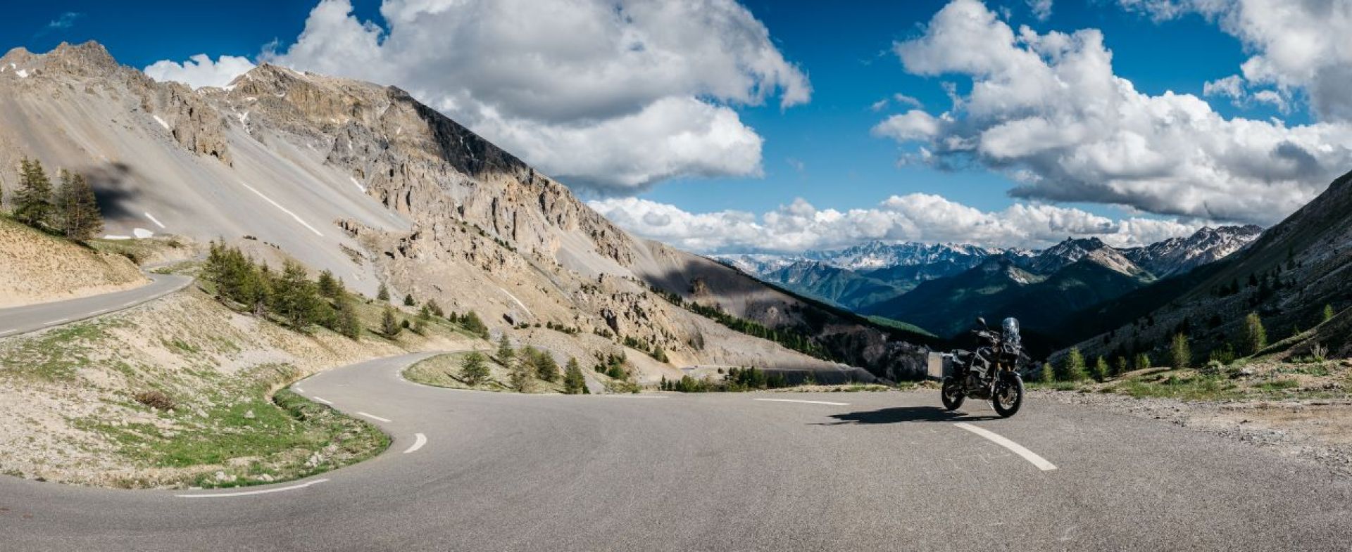
This is definitely one of the nicest passes in the French Alps, but beware: with its height of a whooping 2.360m, the Col de l'Izoard is subjected to late opening - so better double-check before heading over there! However, it will certainly be accessible during summer months via the D902 road, which connects Briançon in the north and the valley of the Guil in Queyras, which ends at Guillestre in the south. Known as the Casse Déserte - the abandoned , this area has formed a dramatic backdrop to some key moments in the Tour de France, and is a geological freak of nature. Lying near the entrance of the Parc naturel régional du Queyras, the road twists and twirls endlessly while feasting your eyes on limestone and needle-like, ocher-coloured rock formations. The mountain pass and its ‘stage’ have been protected ever since 1937, but had been in the hearts of cycling amateurs since 1922. If you think you fit in that last description, you might want to pay a visit to the small cycling museum at the summit, or stop for a brief moment at the memorial to the legendary Fausto Coppi and Louis Bobet. En avant!
See the Col de l'Izoard on the map.
SS125 Sardinia: Italy
To wrap it up, we’ve selected another one out of the Italian treasure chest called Sardegna: the SS125. You’ll arguably find the best part of the fabulous SS125 between Urzulei to Cala Gonone, because of the amazing views from up above the Park Forresta de Montes. Road conditions leave a lot to wish for, but the fast winding mountain road and accompanying scenery make up for that manco instantly. Grab a coffee in one of the many bars in the Cala Gonone port, ride the road back and forth, and repeat - you’ll love it. Or maybe the 60 kilometer stretch from Dorgali to Santa Maria Navarrese will seduce you even more. As the SS125 carves over and through the mountain peaks where the scenery is distractingly lovely, you’ll get more goosebumps as you ride further and further: on one side the rough limestone tops of the Supramonte rise above the wooded valleys and deep gorges, while on the other side of the road mountains plunge into the bright blue abyss. Truly amazing. Just do yourself a favor and check the weather forecasts before you head out there, as the upper part of the SS125 tends to be up in the clouds or fog if the weather is turning. You wouldn’t want to miss out on seeing this one, believe us.
See the SS125 Sardinia on the map.


