


A great first day for a Mojave Desert Loop. Good, paved roads the entire way with great views and little to no traffic. All 2 lane highway with just a bit of 4 lane between Las Vegas and Pahrump. No Interstates.
I live in Idaho where we were having snow and ice, so I drove my motorcycle down to Las Vegas to start the trip. This was late January, and there was a nice period of weather in the forecast, so I went for it to break up the winter back home.
The first day of the trip was all driving, and I got to Las Vegas right at dark. So, I unloaded my bike at a friend's house, and they let me store my pickup there while I was on the trip. I stayed that night at the Red Rock Casino on the west side of the city.
The next morning I transported my boxes (Givi), tent, dry bags, etc. down to the parking garage where I left my bike and loaded up. Leaving Las Vegas I decided to go through Pahrump to Baker, CA. It was at Baker where I would be able to enter the Mojave National Preserve.
I could have taken Interstate 15 directly from Las Vegas to Baker, but I tried to avoid interstate on this trip at all costs. Also, I wanted to see some country that I had never seen.
The ride from Las Vegas to Pahrump starts out on a four lane road with stop lights within the city. There was lots of traffic on this stretch, and it was a Thursday morning at about 10am. After a few miles you leave town, and the traffic thins a little bit. Pretty soon you pass the turn off for Nevada State Highway 159, which will take you to Red Rock State Park and back over to where I started. In hindsight, this is the route I should have taken from the Red Rock Casino.
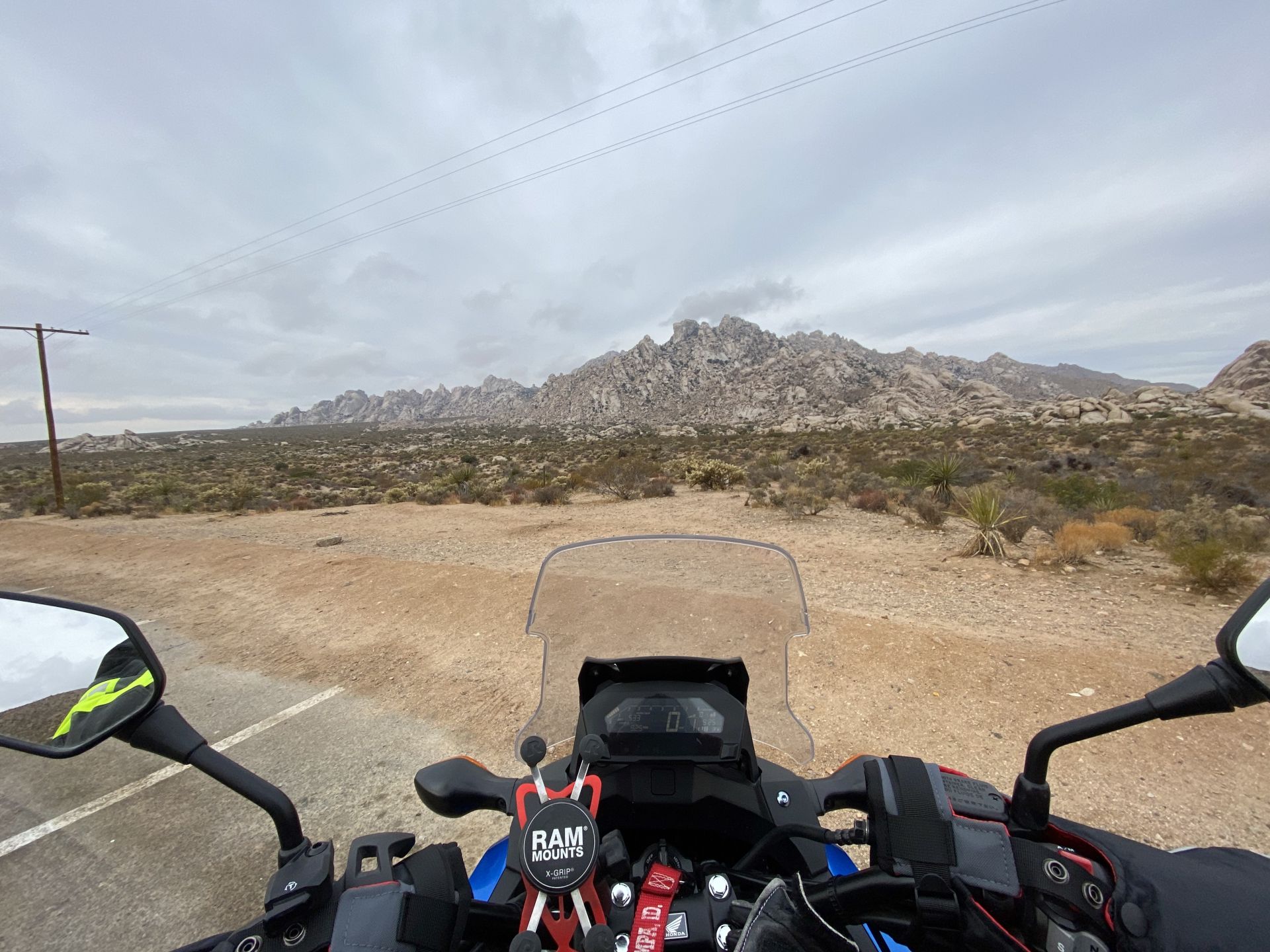
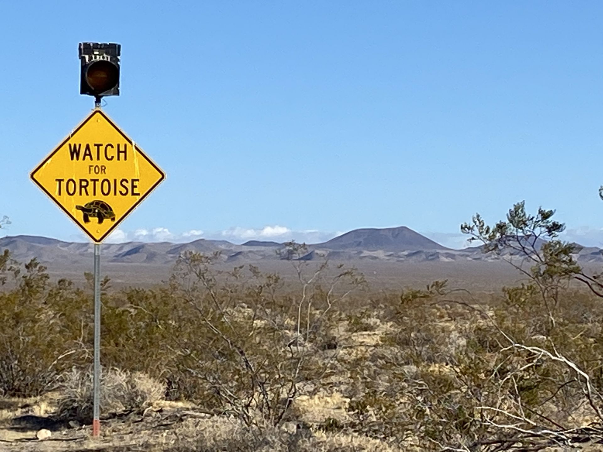
After passing Highway 159 you start to climb towards Mountain Springs Summit. There are signs for Desert Bighorn Sheep and Rocky Mountain Elk in this stretch. The Nevada Department of Wildlife has erected large fences on both sides of the highway to try and keep wildlife off of the road, but still beware.
The temperature dropped a bit as a crested the summit, and the road changed to a typical canyon road, twisty and two lanes. The descent leads into the valley below where Pahrump is located. This turned back into a four lane highway, but the traffic was not bad.
Once I was in Pahrump I turned off onto Nevada 372 towards Shoshone, California. I stopped at a small diner called Johnny's Taco Shop for a hamburger but ended up getting Mexican food. That was not a mistake!
After I left Johnny's I headed down 372 towards the California border and reached it in about 10 minutes. I went through another canyon and a series of washes before reaching Shoshone, California. This was a very beautiful drive with very little traffic and good roads.
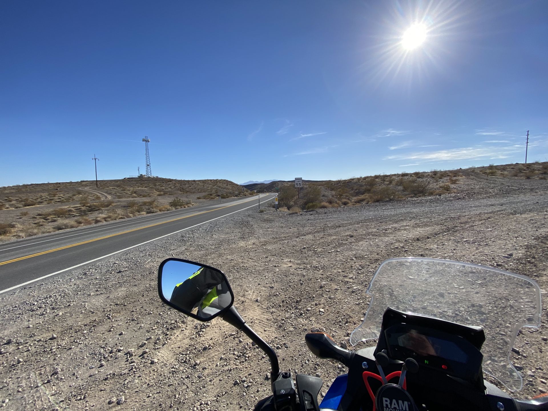
From Shoshone I went south on California State Highway 127 towards Baker. This was also a very beautiful ride with some incredible sand dunes to look at along the way. Again, I faced very little traffic and good roads. I eventually crossed into San Bernardino County and then made my way down to Baker, California to get gas and some cold drinks for later that night.
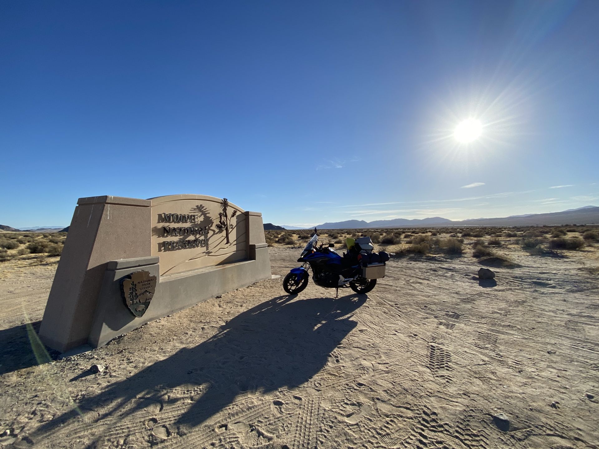
After a fueling up, taking a rest and visiting with a fellow motorcyclist I headed south out of Baker, right underneath Interstate 15 on Kelbaker Road. A couple minutes after crossing the interstate I came to a sign for the Mojave National Preserve, and I headed towards Kelso, California.
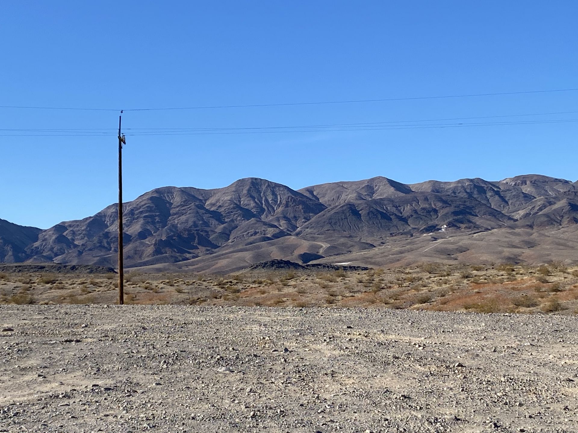
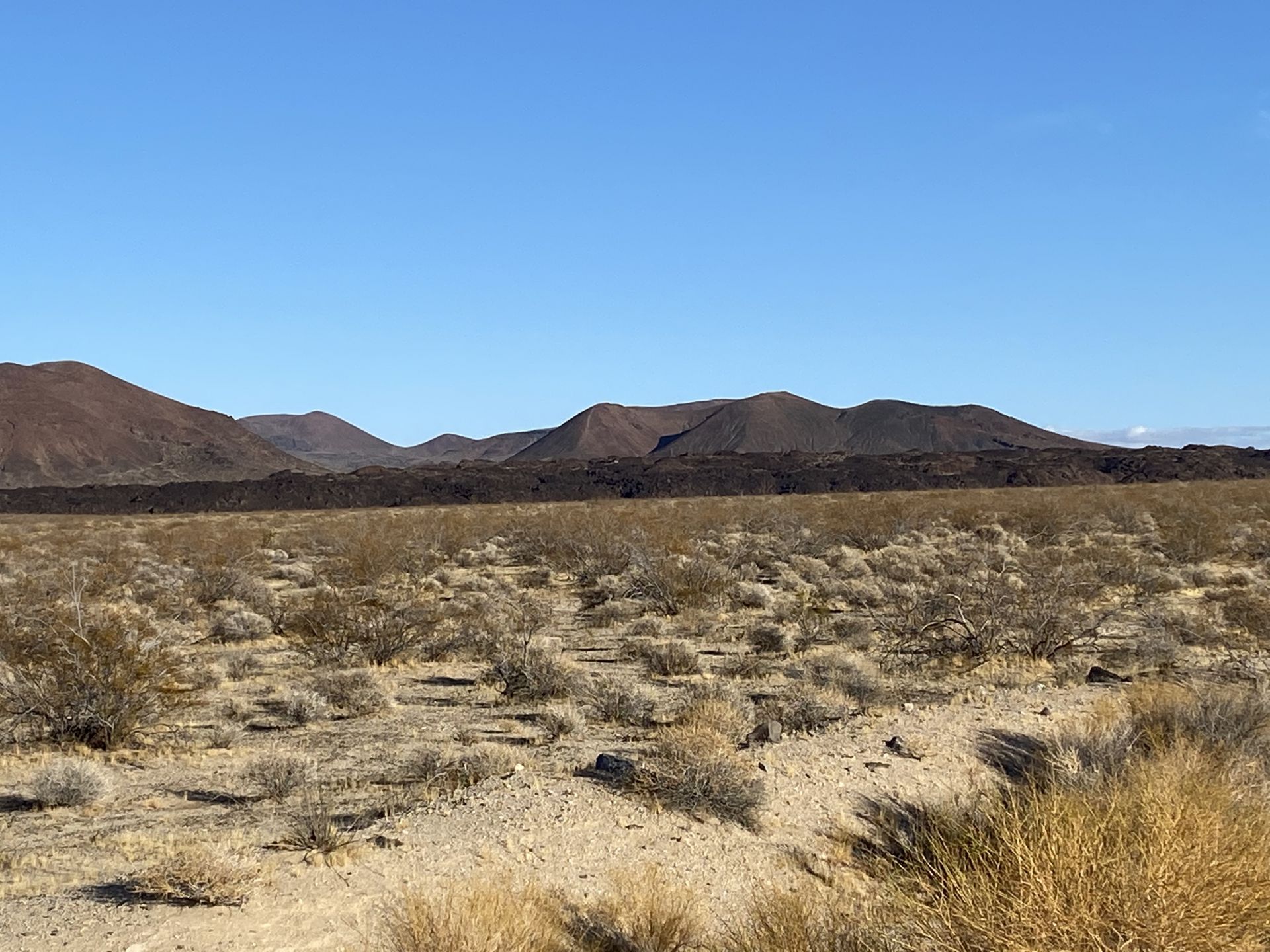
This road here was good, and the vistas got progressively better the further I got away from Baker. There is a massive lava flow out here that was coming down the mountain and just stopped, leaving a wall of lava about a mile off of the highway. As the elevation increased I found myself getting into the Joshua Trees.
I finally crested a summit and started a descent into a very deep and broad valley. Way down at the bottom I could make out two tall towers, which I suspected were water towers, but I could not imagine what they were doing out there. Seeing other cars were few and far between at this point. I probably passed four vehicles on this stretch. There were about 10 trailers and RV's dry camped out in the flats on this portion of the road before I reached the lava flow.
When I reached the bottom of the valley, I actually got to an intersection. Going straight went over a set of railroad tracks and towards Interstate 40. Going left went into the very small, and mostly abandoned town, of Kelso. I assumed that the railroad tracks were abandoned as I was literally in the middle of nowhere. However, there was a train stop there, and there were people waiting there to pick up passengers or catch the train. I don't know which.
The National Park Service appears to have its headquarters for this preserve in this town, and there also appeared to be housing for park service employees here.
I continued down this road to the ghost town of Cima. On this stretch I did not encounter a lot of cars, but I did encounter more than coming from Baker. Also, the driver's did not look like they were exploring like me. They looked like they were just passing through. I later learned that going through this preserve is a short cut from the Palm Springs area to Las Vegas.
During my drive to Cima the speed limit was 55mph. I did get passed by one of these short cut drivers who was really making good time. Just a few moments later I saw a white SUV pull out behind him from the side of road. I suspected it the the National Parks Police, and I was correct. I passed him about ten minutes later as he was receiving his citation for speeding.
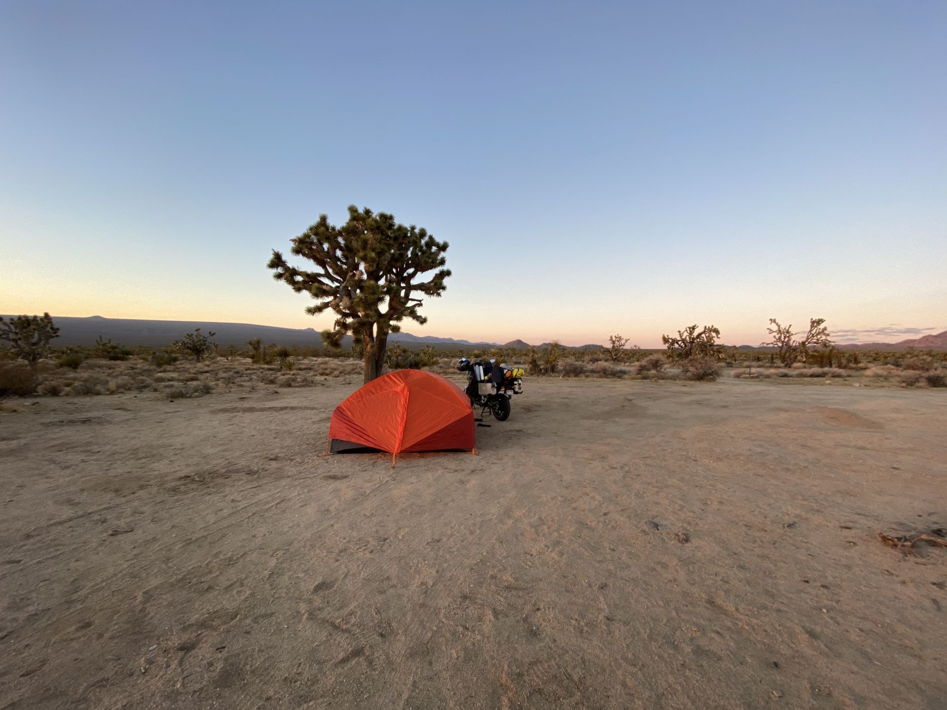
I made it to Cima, and it was starting to get dark. So, after looking at this very small, ghost town, I turned around and headed back towards Kelso. Rather than going all the way back to Kelso I took at left turn at Cedar Canyon Road and started up the mountain on the south side of the canyon.
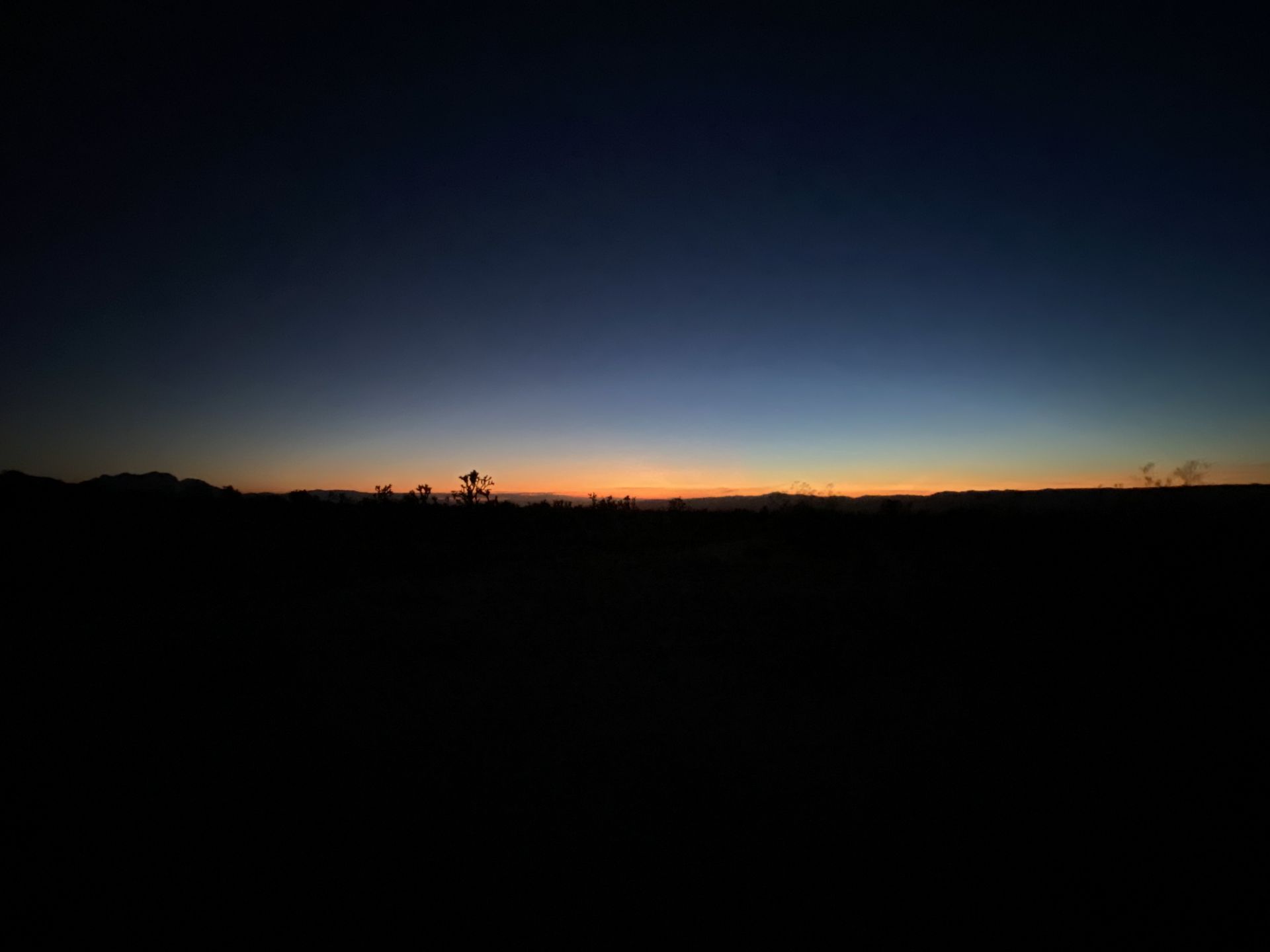
I found a flat spot with fire rings about 2 miles up the hill, and I decided to make this my camping spot for the night. The area has the most Joshua Trees that I saw on any part of my trip, including Joshua Tree National Park, and it had excellent views in all directions.
It was pitch black and silent by 6pm except for the trains that I could hear coming through the valley below. To my astonishment the trains that came through had several passenger cars on them. I could tell because I could see the illuminated windows from my vantage point.
There were several trains that came through that night, and each time I was out of the tent and watched them they had passenger cars. My mind was blown.
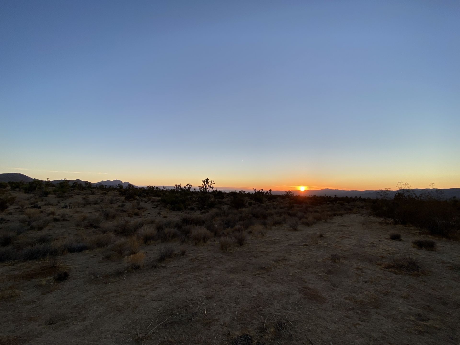
I was alone, the temperature was dropping into the upper 20's, it was very dark and there was nobody within miles of me. So, I wound up in the tent and the sleeping back for the night pretty early on. I listened to the Coyotes and went back outside every hour or so to take it all in, and between different chapters in the book I was reading.
The stars were beautiful, although drowned out a bit by the amazing moon that directly overhead. To the northeast I could see the lights of Las Vegas illuminating the horizon and to the West I could see a slight glow of what I assume was Los Angeles and the Inland Empire of Southern California. Overhead there was a steady flow of airliners probably in their descents for LAX but still above 20,000 feet. I watched a lot of blinking lights in the sky eventually fade into the western horizon. I finally called it a night and tried to sleep, thinking about tomorrow's ride.


Photos de la communauté
Soyez le premier à ajouter des photos pour la communauté
Evaluations de la communauté
Il n'y a pas encore d'évaluations
pour être le premier à écrire une évaluation et guider vos collègues motards dans leur quête des belles routes.


