The Trans America Trail does just that. In the early 80’s a man called Sam Correro decided to try and find a way across the country using just dirt tracks and small backcountry roads.
RTWPaul: America Coast to Coast on Dirt, The Trans America Trail
Motorcycle Diaries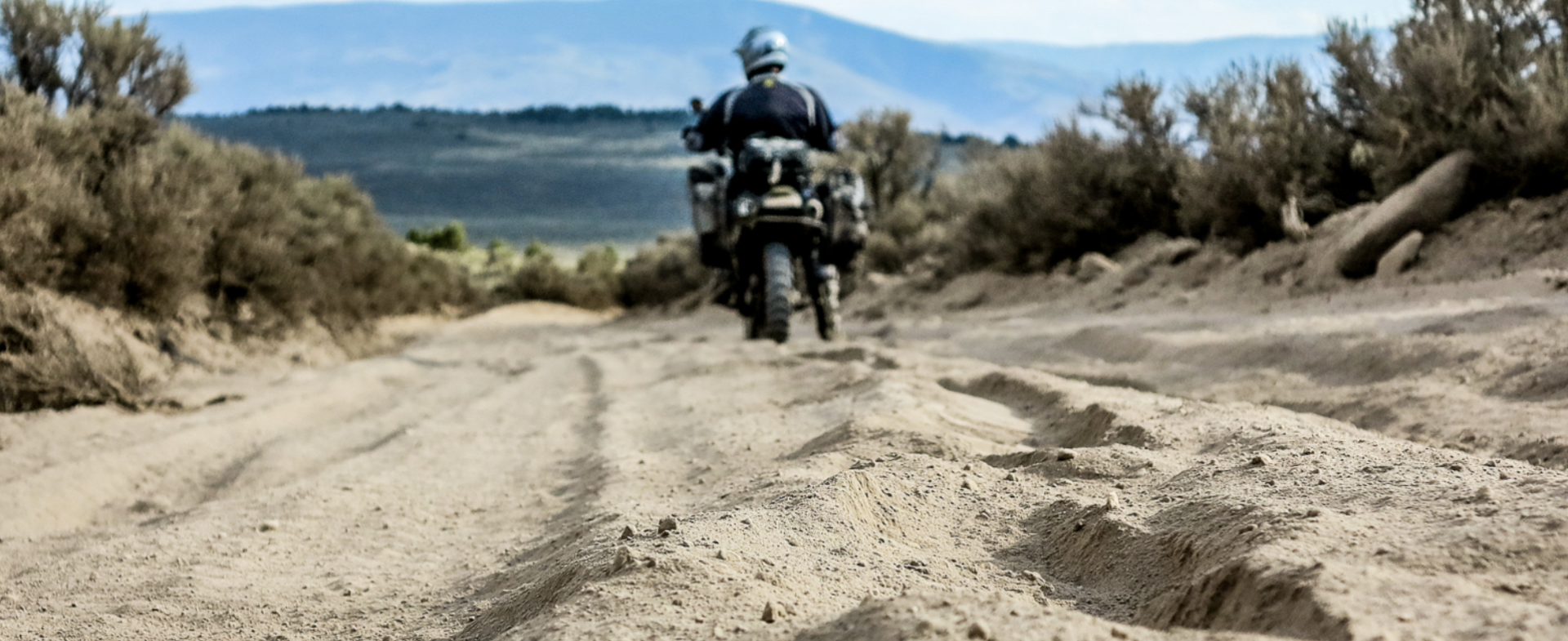
It’s hard to imagine being able to ride across a first world country covered in perfect pavement everywhere, and not use any of it.
Years and years of piecing together a route, before GPS navigation was an option. The original complete route ran from Tellico Plains, Tennessee to Port Orford, Oregon…but now there is an option to start at the Atlantic Ocean and ride to the Pacific.

I have ridden the entire trail a few times and have lost count how many times I have ridden smaller sections of it, because it is that good.
In its entirety, it stretches around 6000 miles/ 9600km and was originally planned only in an east to west direction with the use of roll charts and maps, but now with GPS it can be ridden either direction.
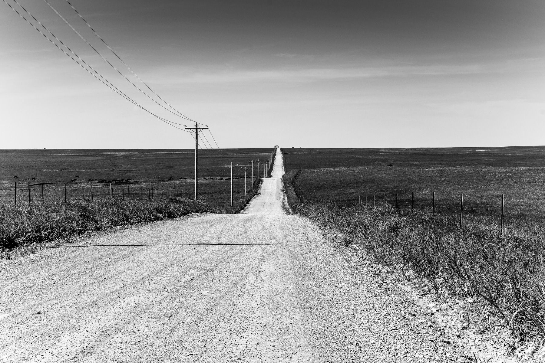
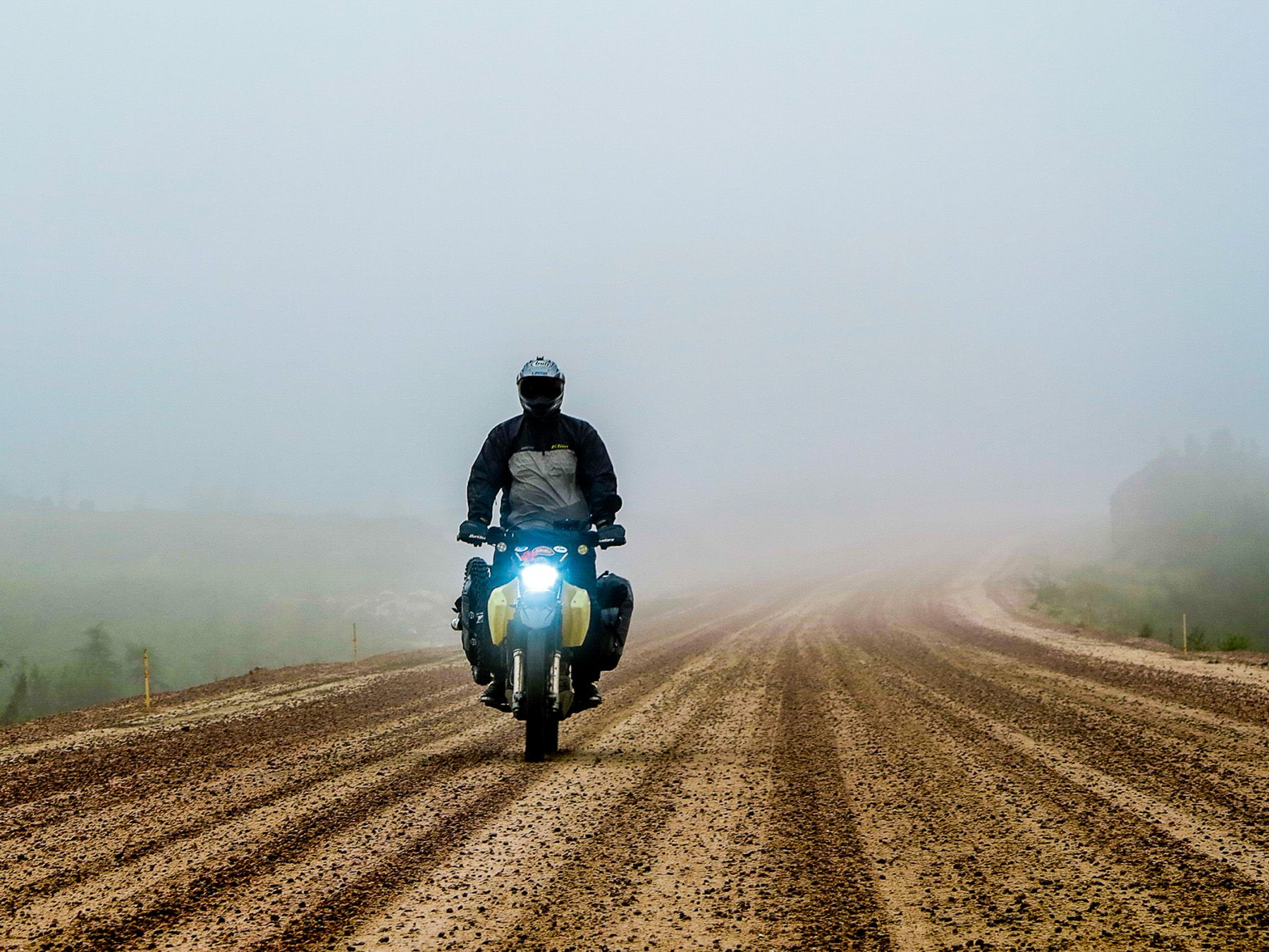
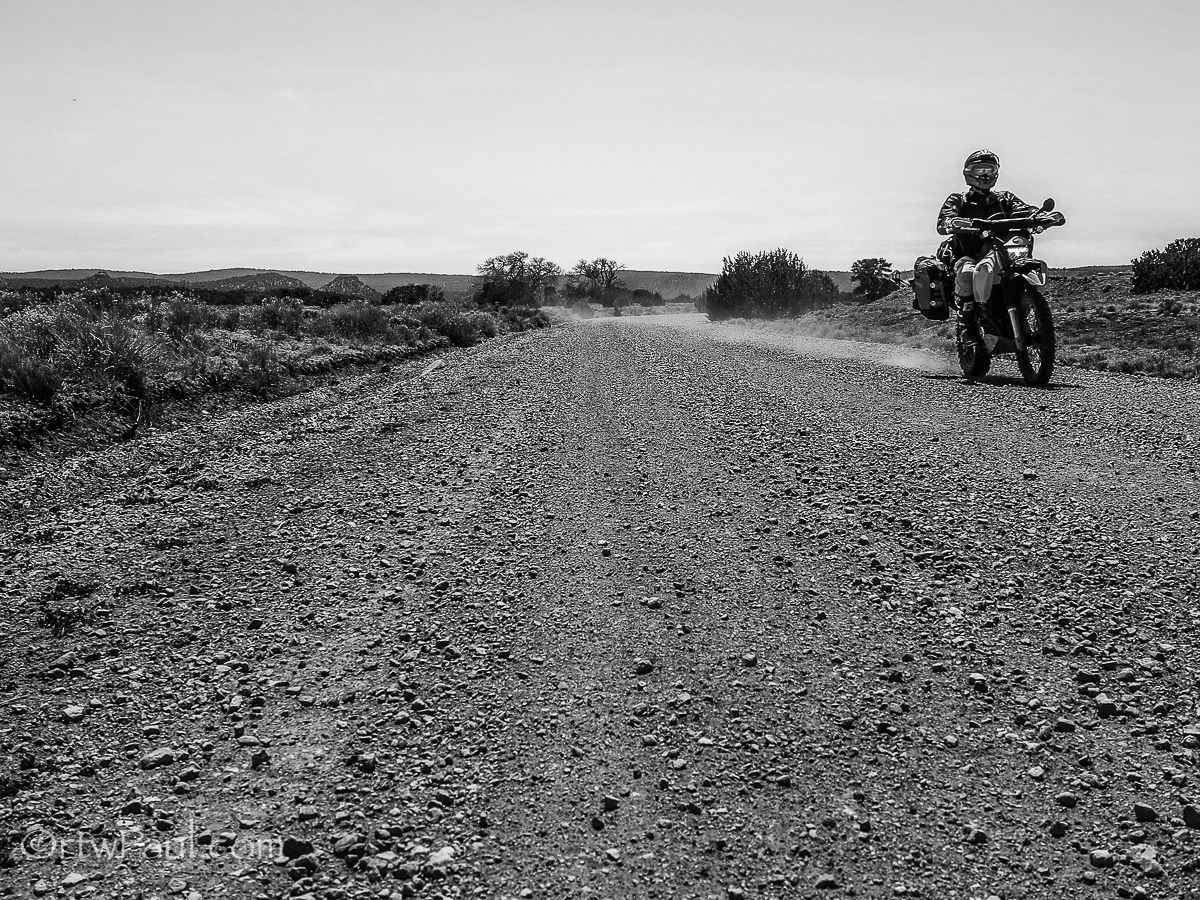
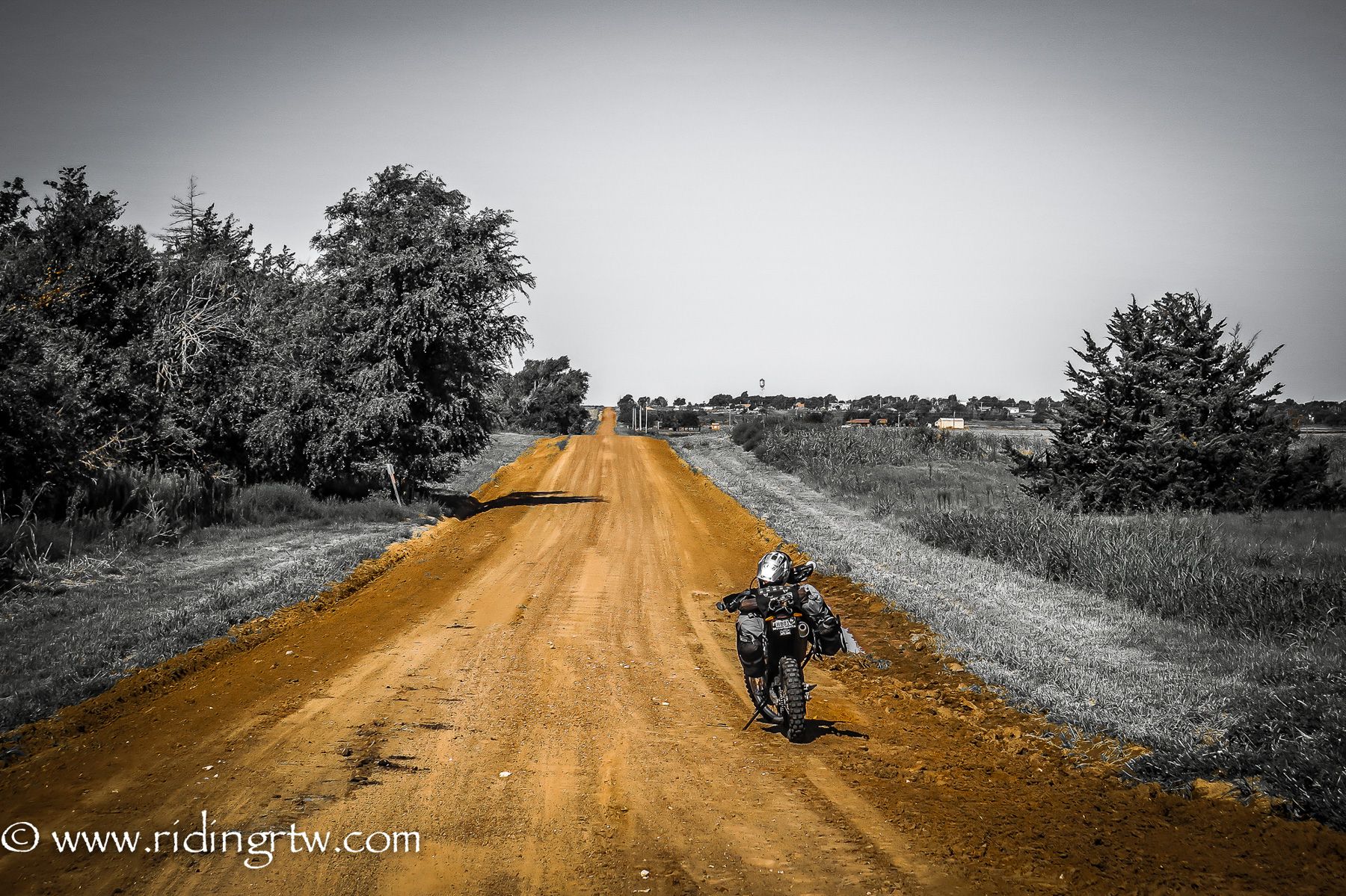
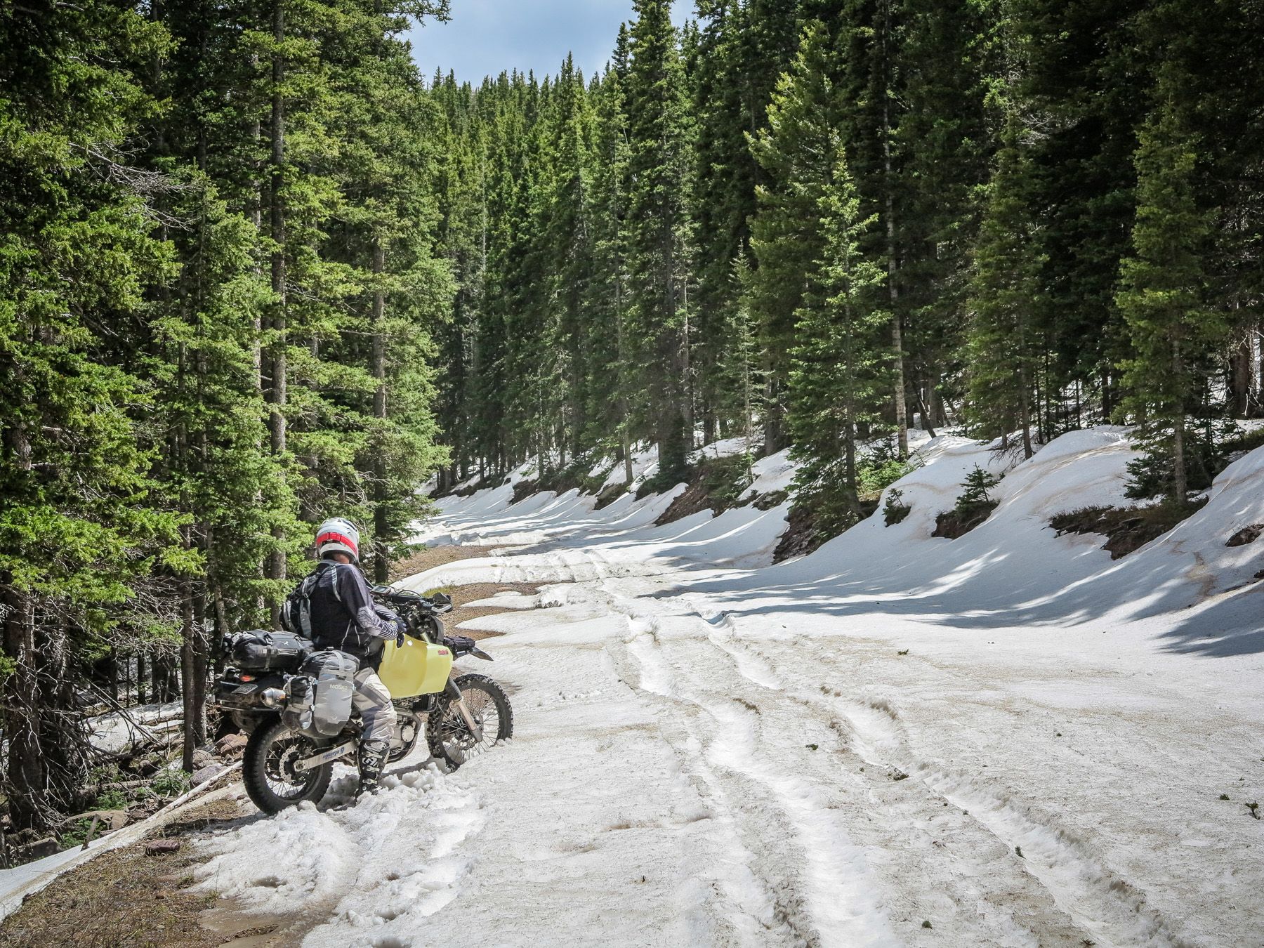
If you are starting at the east, the land is very flat and easy to ride, so if you are not too familiar with riding on dirt tracks you will be eased into the experience gently. Over the coming days and weeks, it will be an education in riding all types of terrain, from gravel, dirt, rocks, sand, snow, ice, bull dust, pea gravel, shale, baby head rocks and deep sticky mud of all colors.
.jpg?itok=2Xpbz6rd)
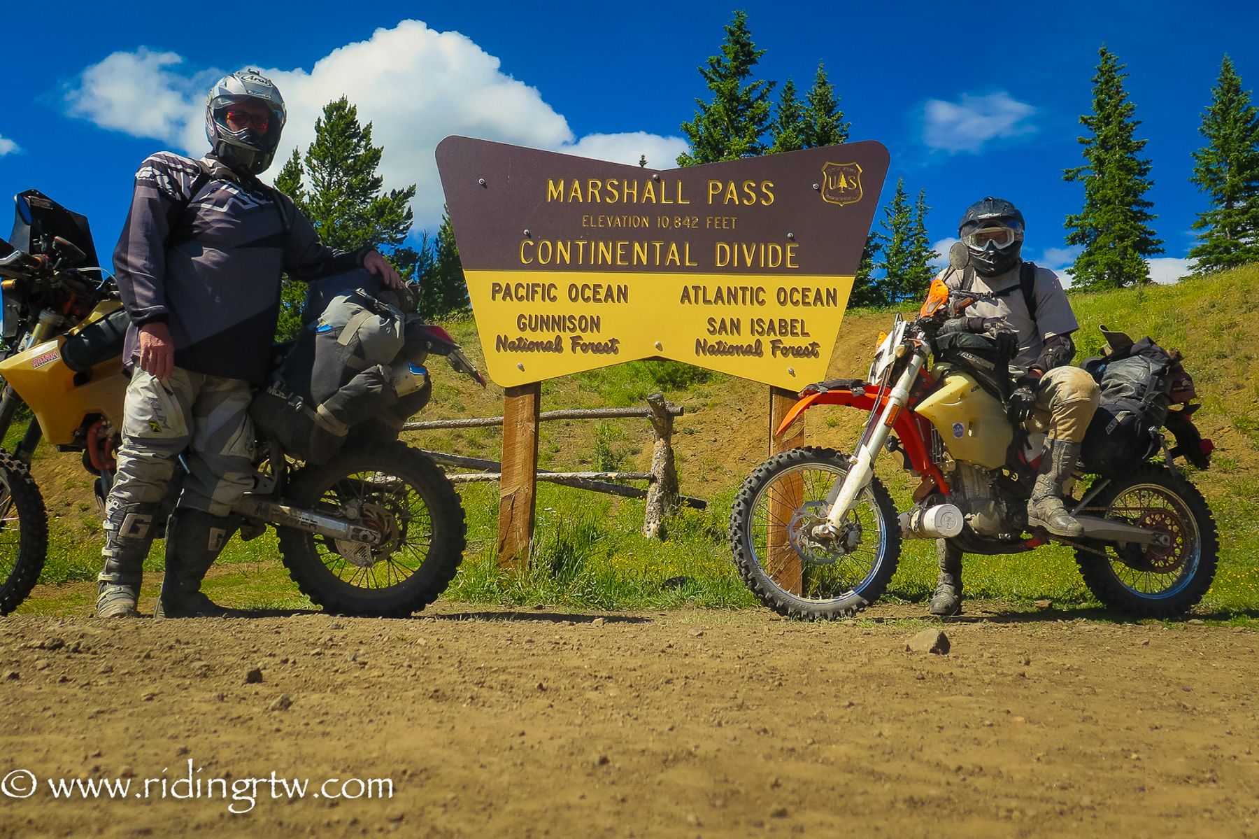
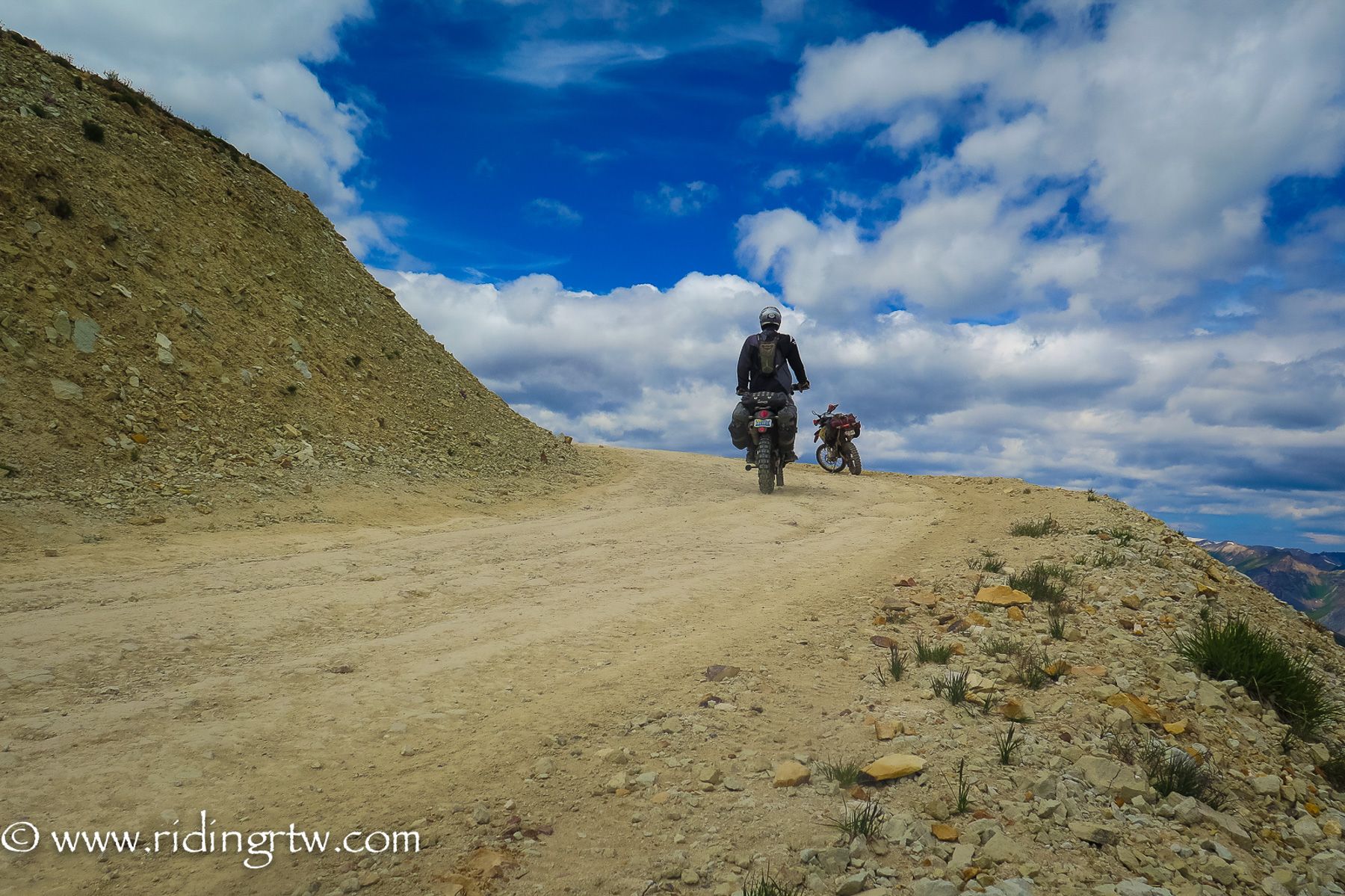
You will learn as you go, and it becomes progressively more difficult as you ride your way to the Rockies, hitting elevations over 12,000 feet/ 3600 meters on a regular basis.
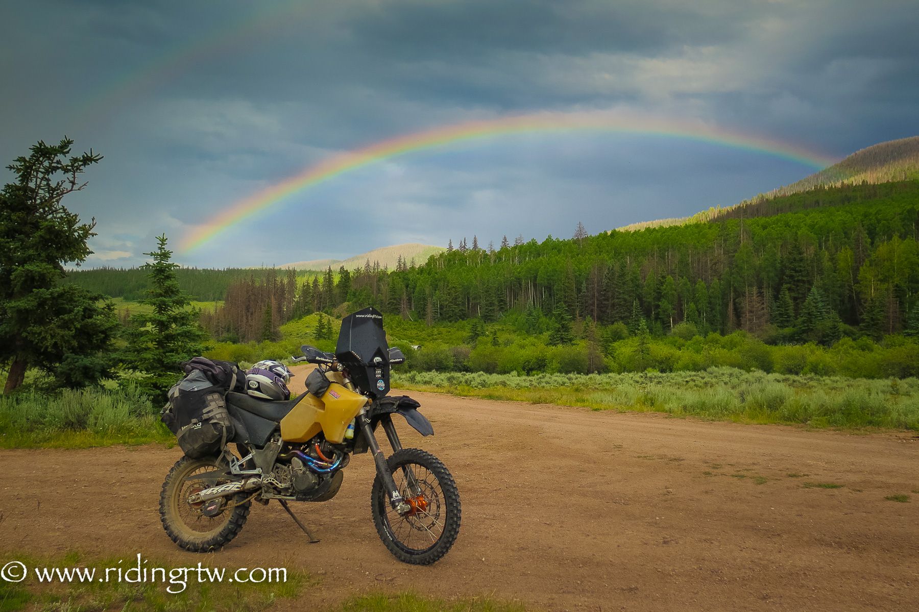
Timing your ride is important due to the potential snowpack in Colorado, where some of the best scenery and riding is. Starting in the east in June would be good timing to hit the high passes as they open for the season mostly in June or early July, but it is not guaranteed, and it all depends on the previous winters' snowfall. A little investigation on your part is a good idea so you can see all the best sections.
If for some reason you do find an impassable section, there are always ways to backtrack, go around, and meet the trail a little further on. A good map or detailed GPS maps make this very easy.
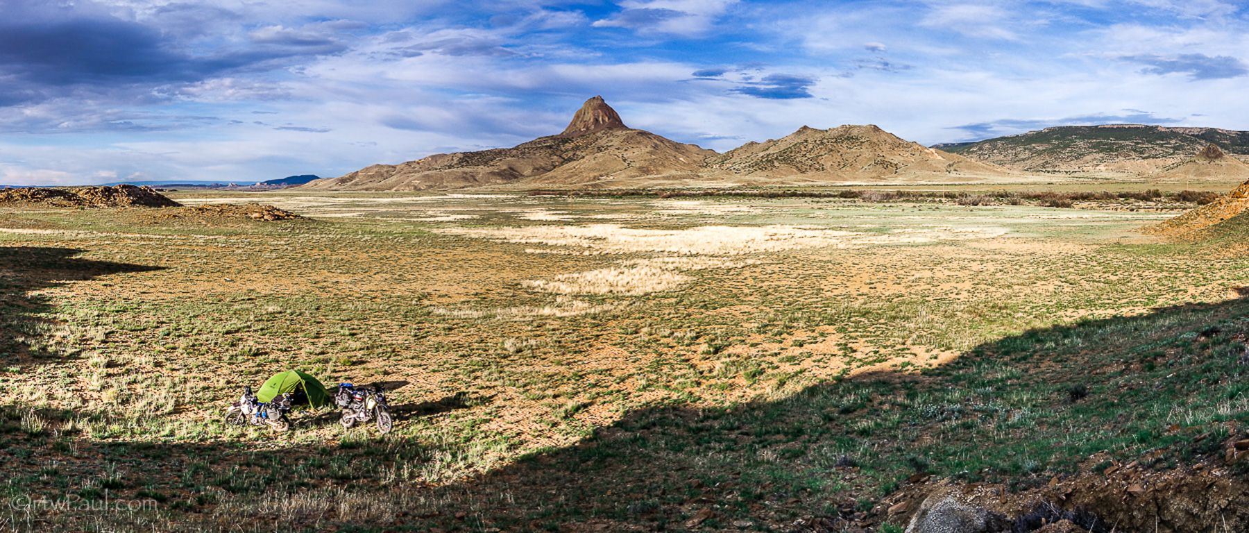
From the East Coast to New Mexico you will ride sections of rolling hills, through farmland, dirt roads that hit the horizon time after time and never raise up in the slightest. The hospitality of the people you meet in the Southern States is amazing, people are so friendly and interested to know what you are doing…and most likely you will be seeing more of the America that 99% of the population will never see.

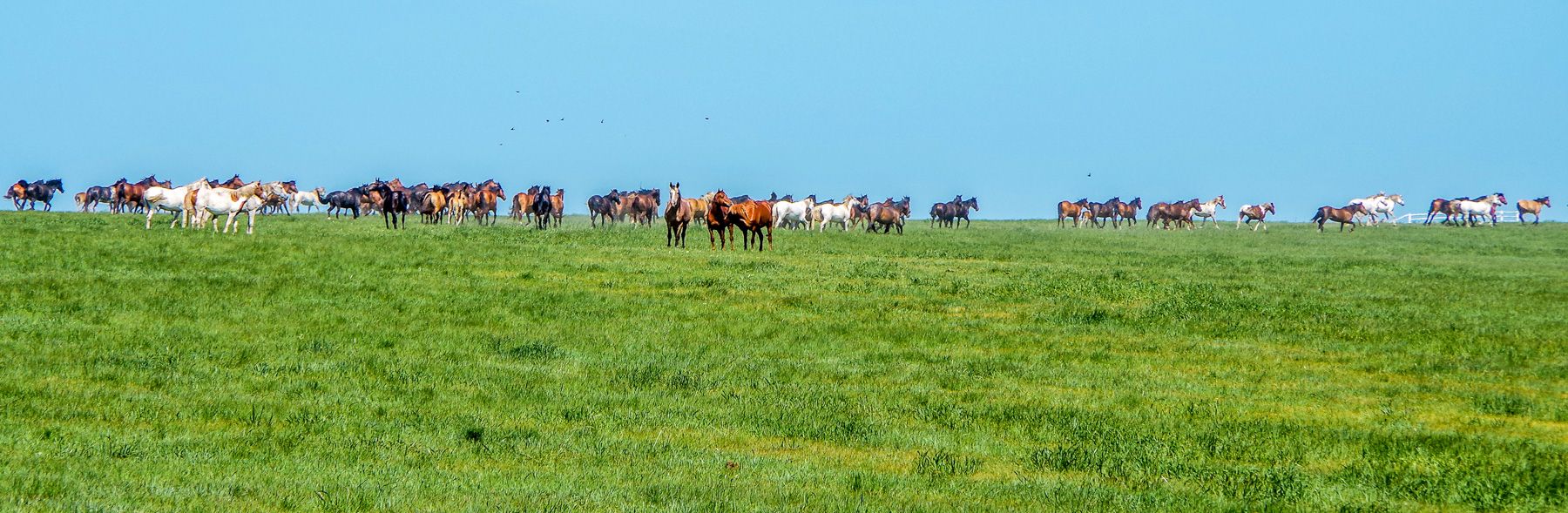
Once you hit New Mexico you will begin to encounter elevation changes and from here onwards the ride daily is purely amazing. Traversing farmland that is shared with wild horses and the occasional gates (leave them as you found them) to open to continue.

Your daily riding distances will also slowdown from this point, the vistas are spectacular at every turn and you will not be able to help yourself but stop and take photo after photo.

.jpg?itok=wET7-eQ8)

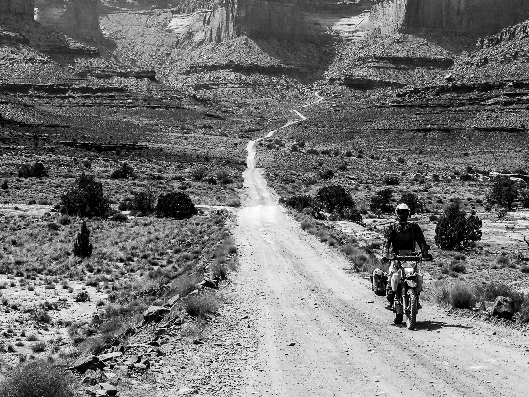
Into Colorado and make the most of the riding, I would even suggest taking time away from the TAT and exploring some other areas. If this kind mountain of riding really suits you then do some research and find the ‘Alpine Loop’ and other trails and see the best of Colorado.
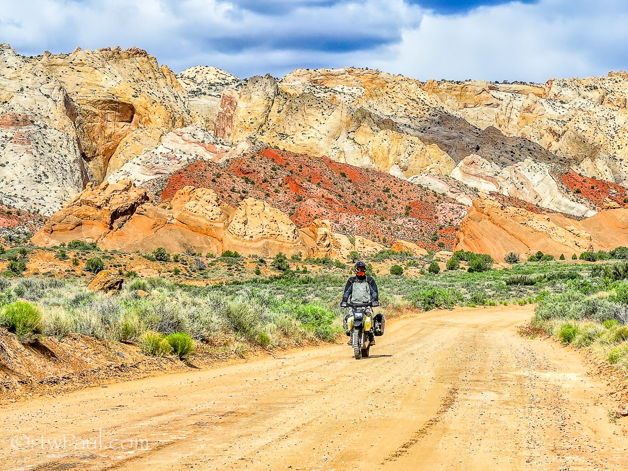
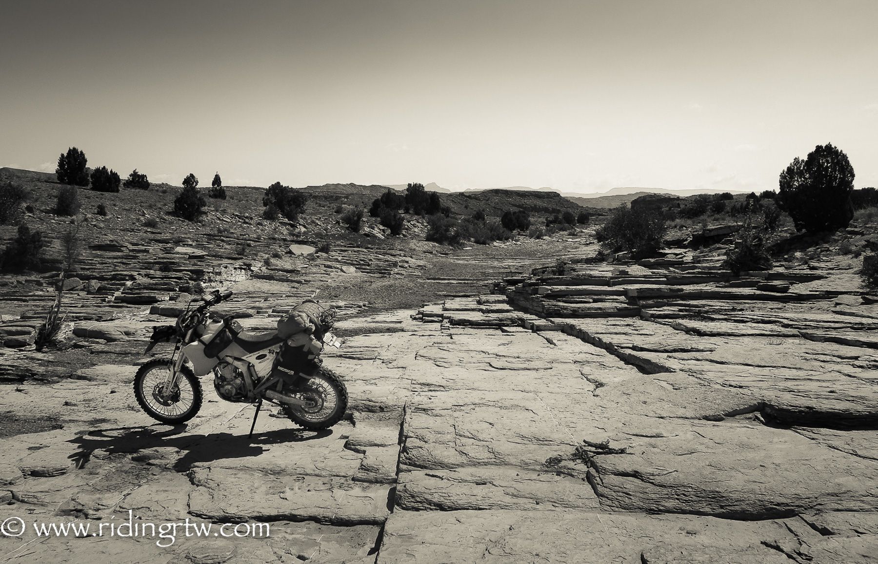
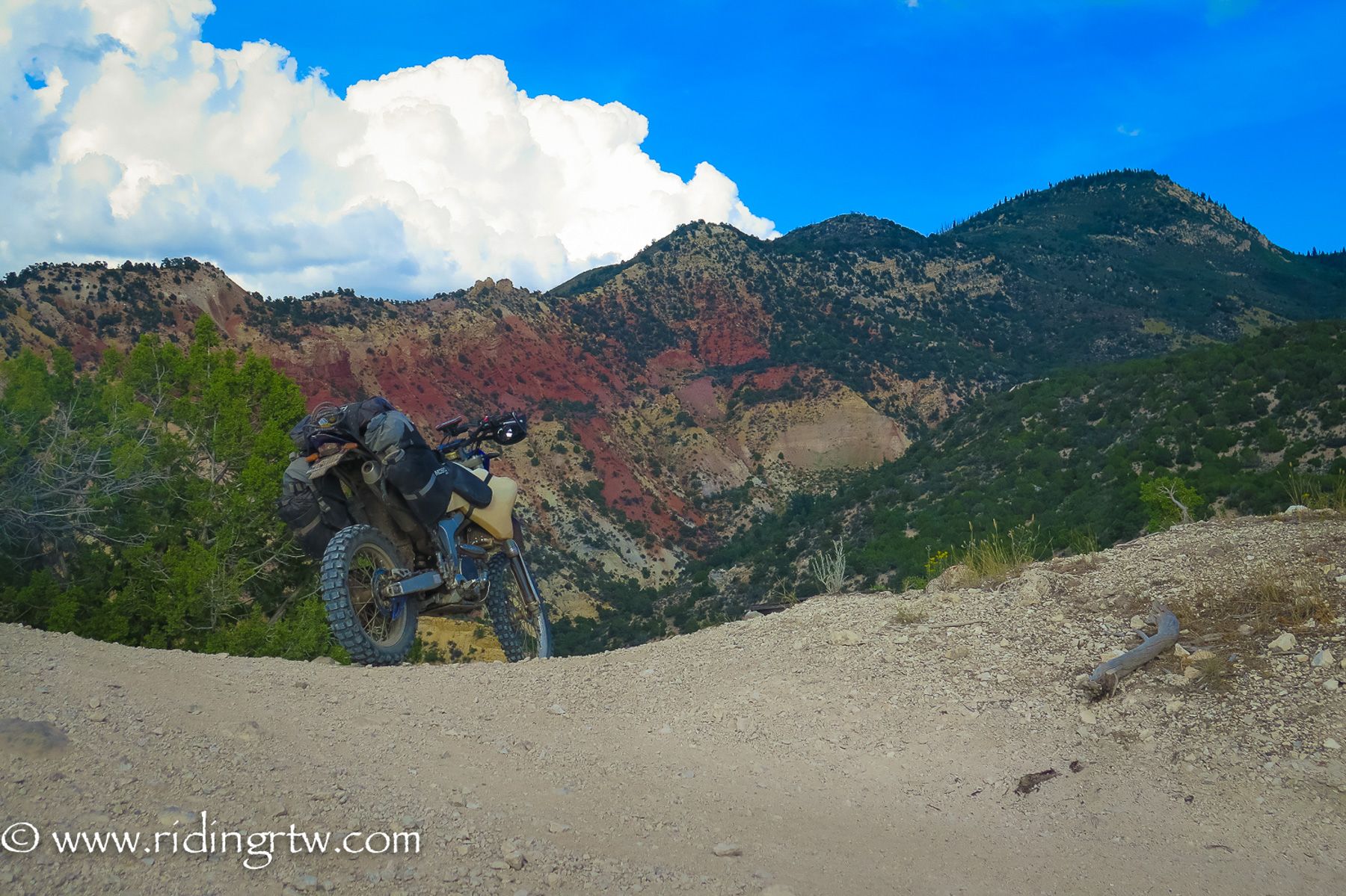
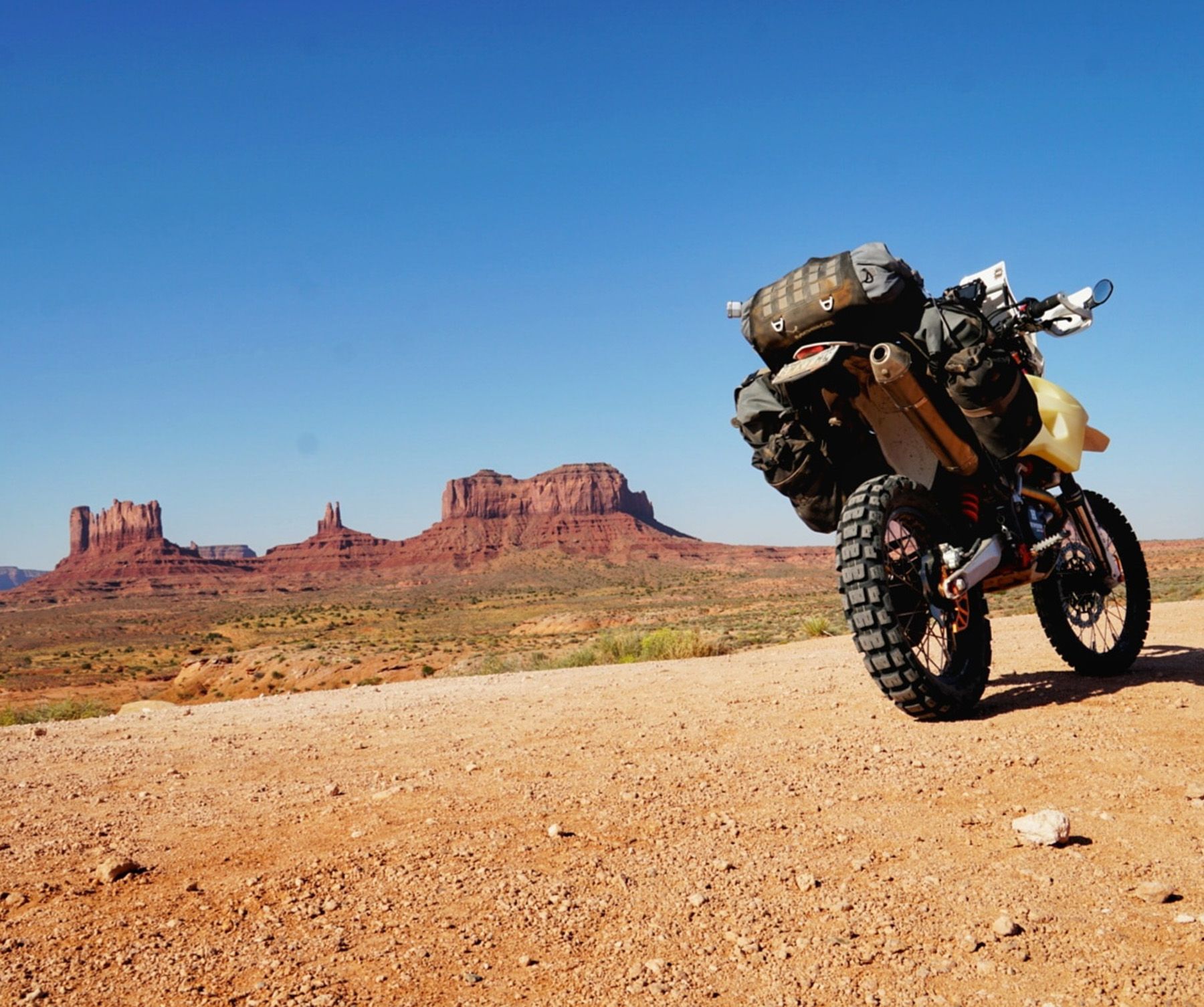
Into Utah and the color of the rocks will change to multiple colors of red and orange and now your riding will be more in sand and bull dust along with rocky tracks. A good area to take another break is Moab, Utah, hundreds of miles of trails lead from the town in every direction and it is one of the ultimate playgrounds for anyone that loves riding dirt and sand.

.jpg?itok=hHmfZWsr)
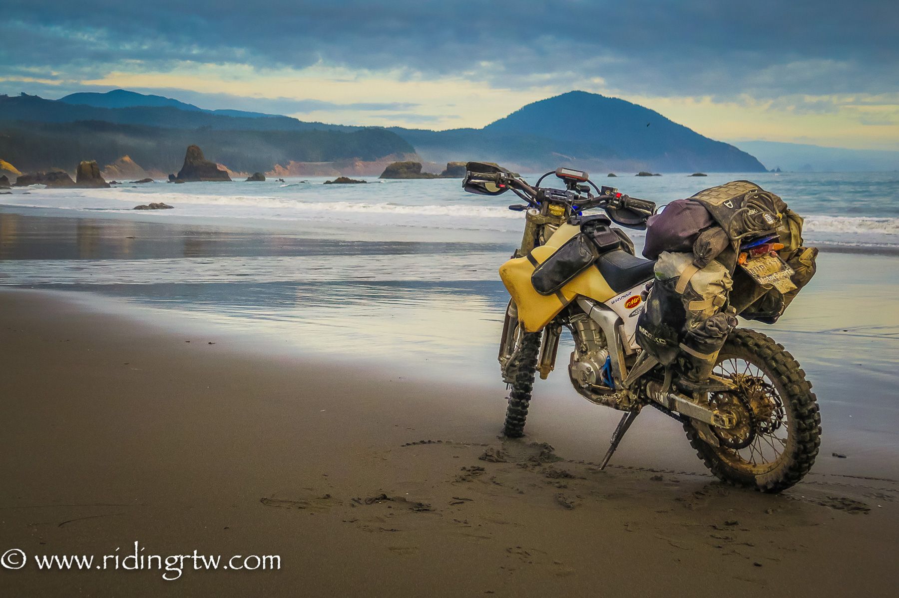
As you head further east the red rocks and sand will become less and greenery and forest will become your friend, the mountainscape will recede a little, and tall trees will line most of the routes all the way to the Pacific Ocean.
It is a great feeling to get to the end and ride on the beach looking at the Pacific, a feeling of self-accomplishment of doing something not too many others besides motorcyclists even know exists.

- The Trans America Trail (TAT) is around 6000 miles/ 9600km, a range of 150-250 miles/ 250-400km a day is common.
- Most riders take 3 weeks + to complete the trail, the first half is a lot faster than the second half
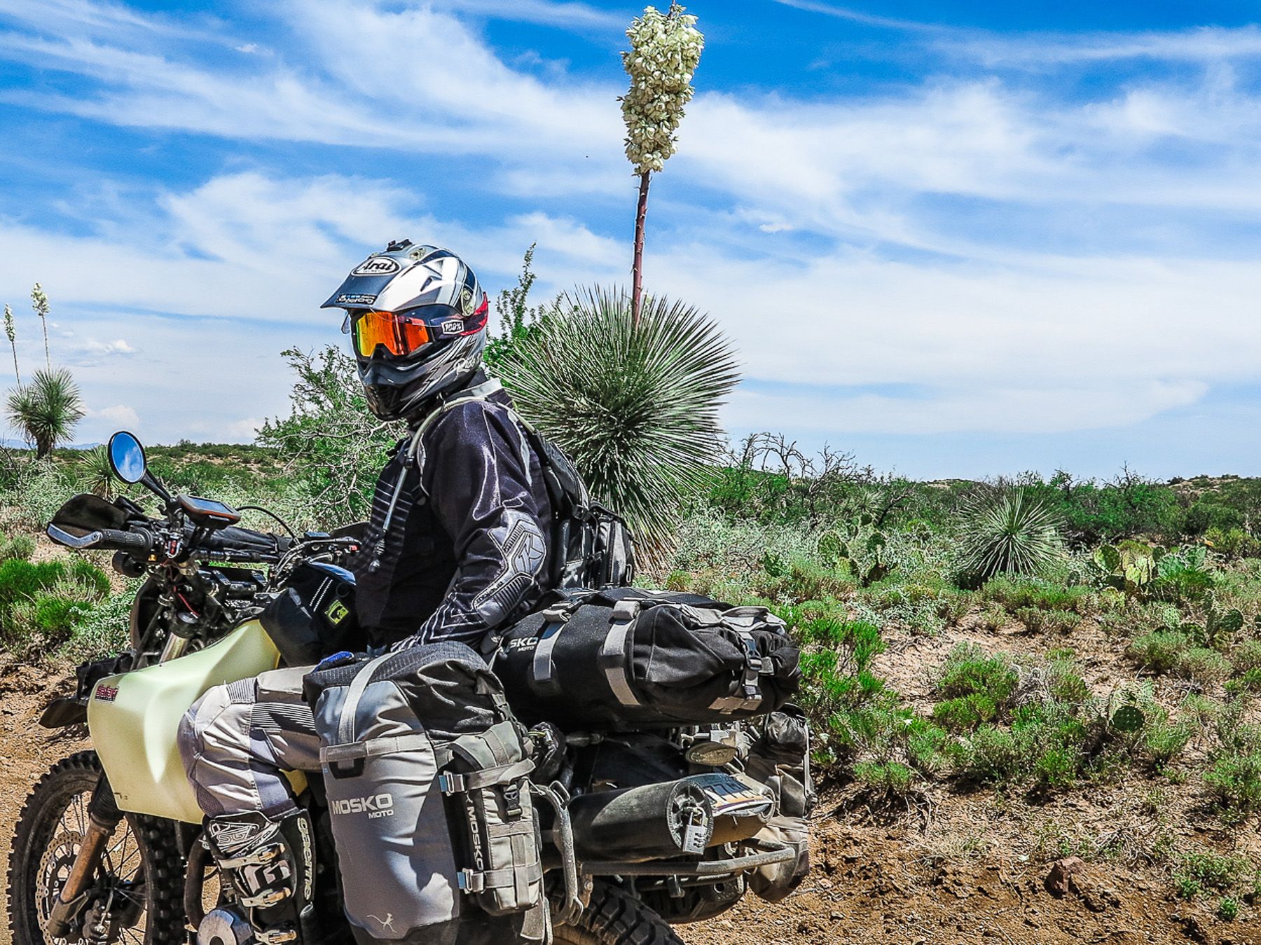
- A perfect bike is lighter, and more dirt friendly, 650cc of less would be ideal, but bigger bikes can ride it, but might find some areas challenging
- You will need knobby tires that are DOT approved as you will have no choice but to ride on public roads in some areas, getting fuel and food for example
- The whole trail can be accomplished using hotels/ motels but if you camp then the experience in my opinion will be a lot better because you rarely need to leave the trail. Campground and camping options are everywhere
- Fuel range, a bike that can cover 200 miles/ 325km would be ideal or a way to carry extra fuel, some areas in the west are very remote
- What to pack – I have written an extensive article about packing for this kind of ride, it can be done with 40 liters of luggage at a maximum, and it is all detailed here on my website if you carry a lot of electronics take at look at the 70 liter option
- All detailed maps and tracks can be bought directly from www.transamtrail.com