America – Winter Riding Routes That Are Awesome! Part 3 of 5

NE Loop From Phoenix

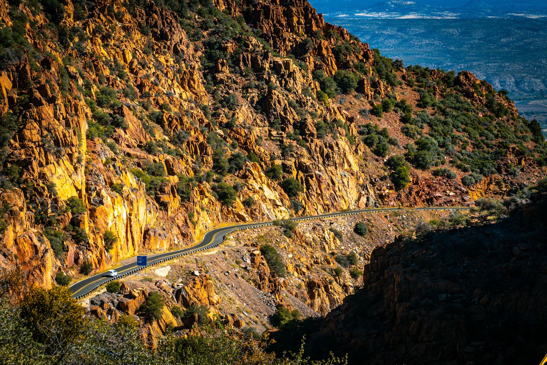
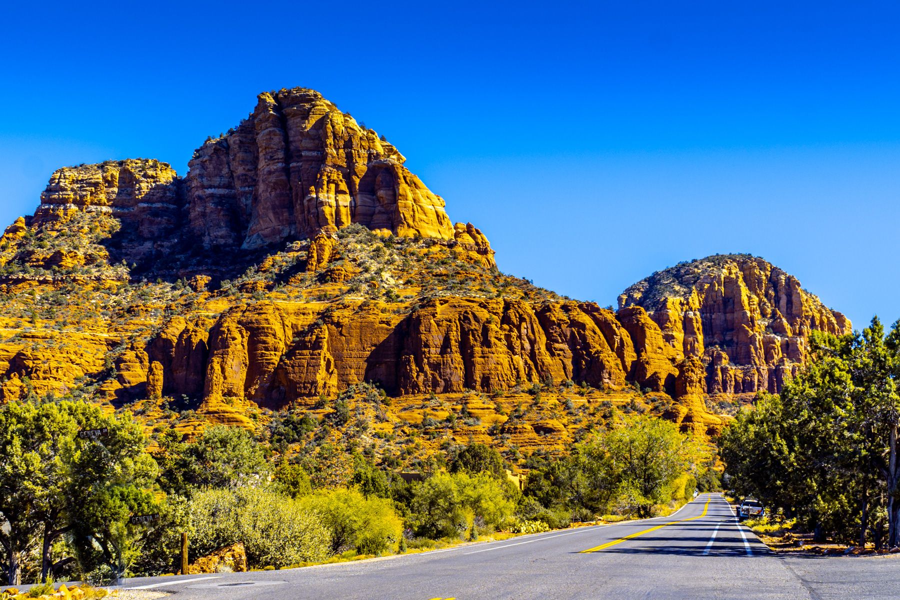
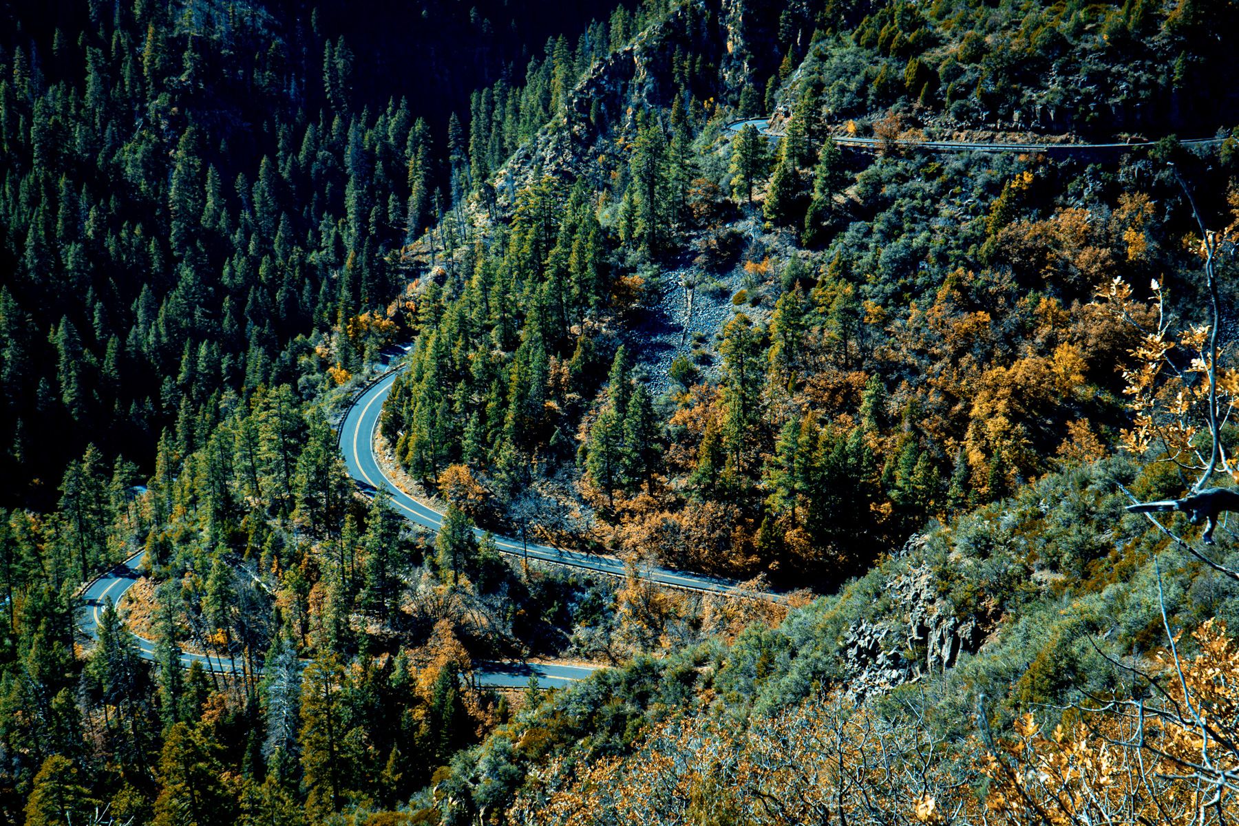
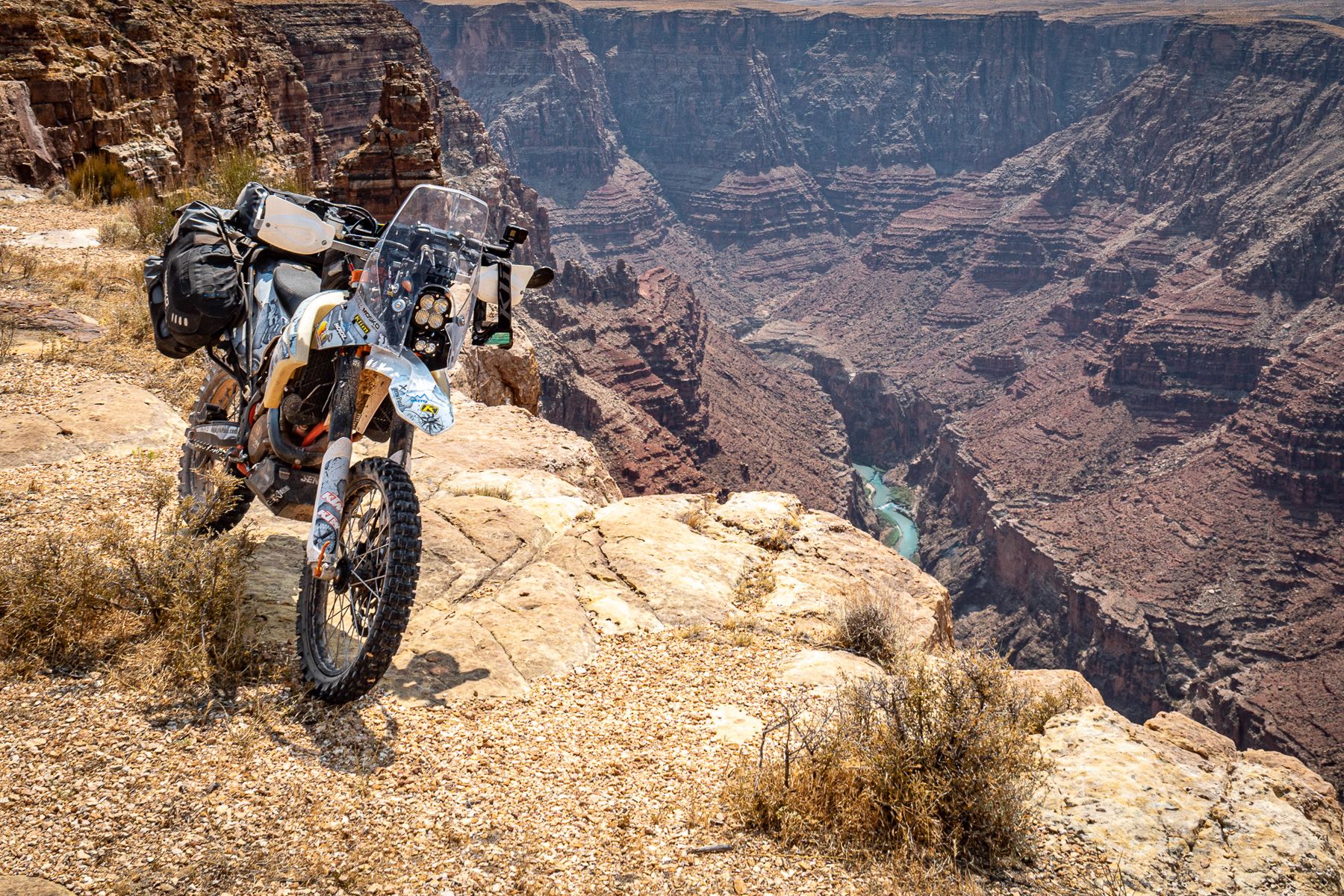
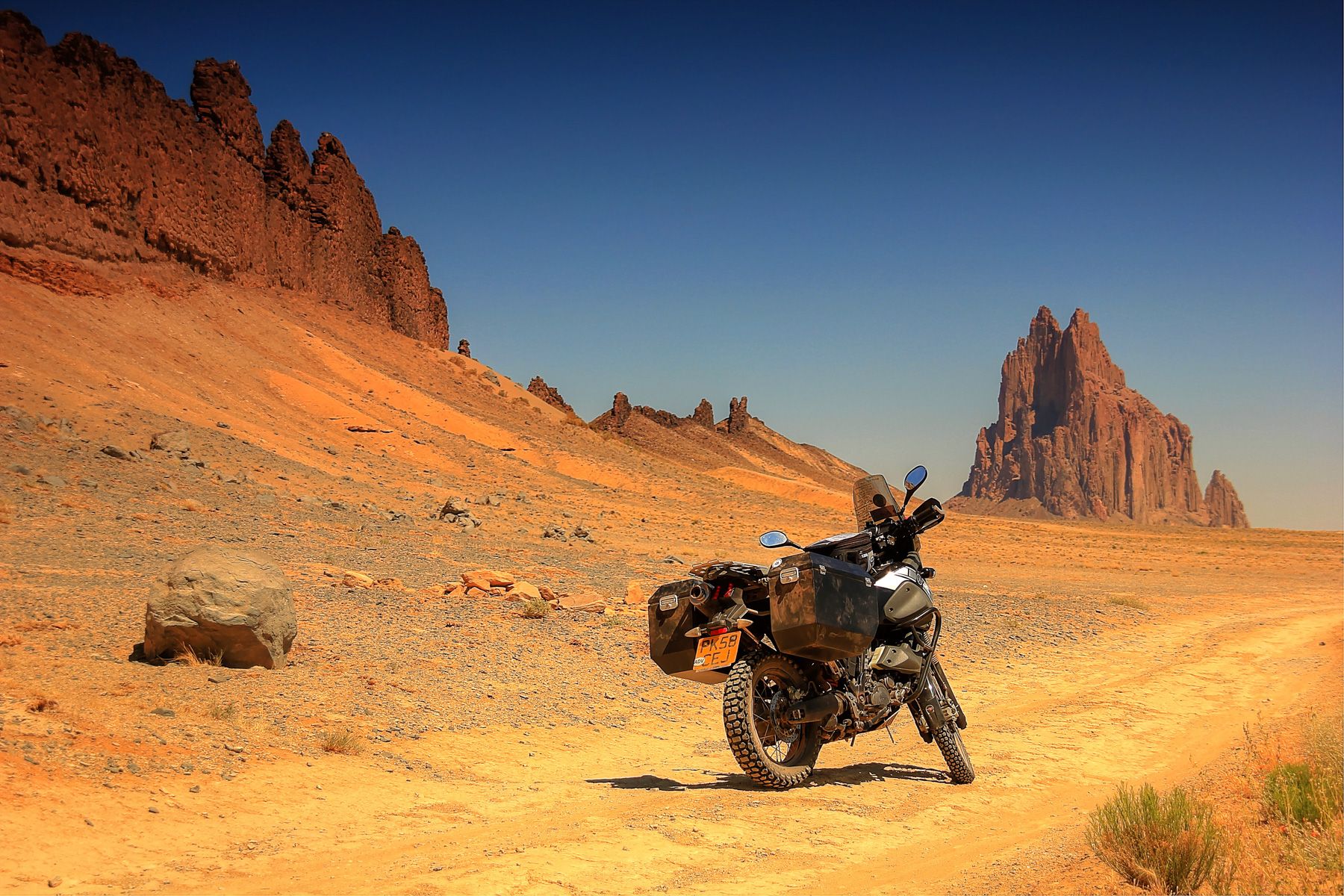
One of the motorcycling joys of riding from Phoenix is you can rely on the weather about 98% of the time to be in your favor. 

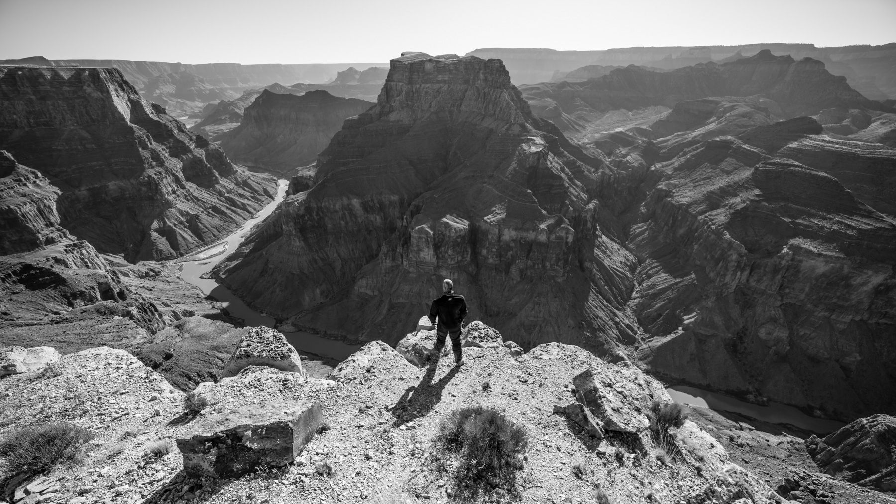
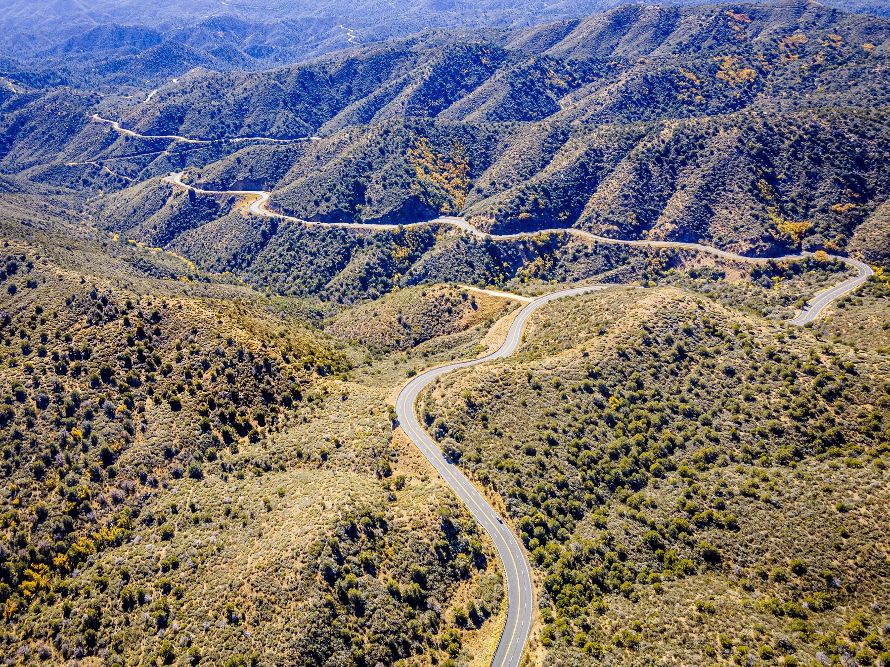
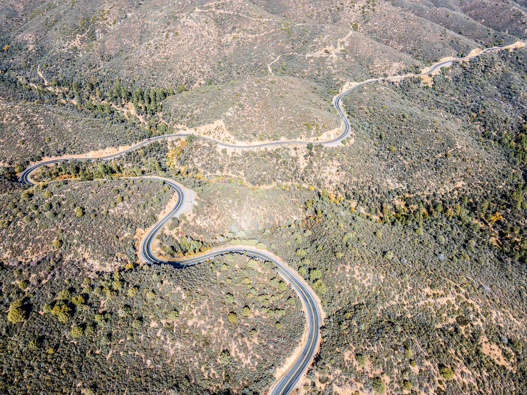
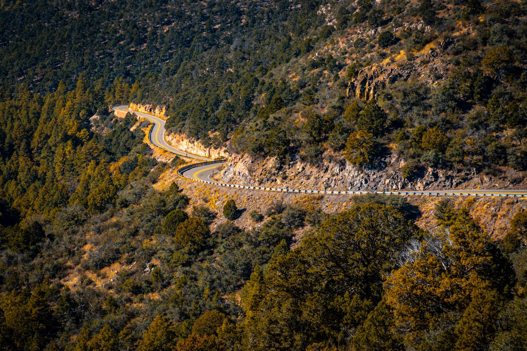
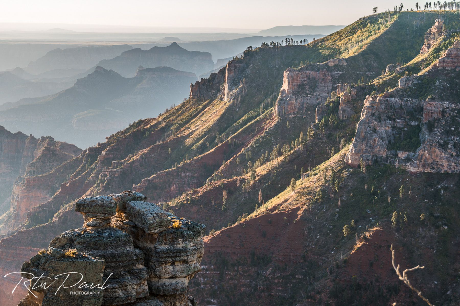
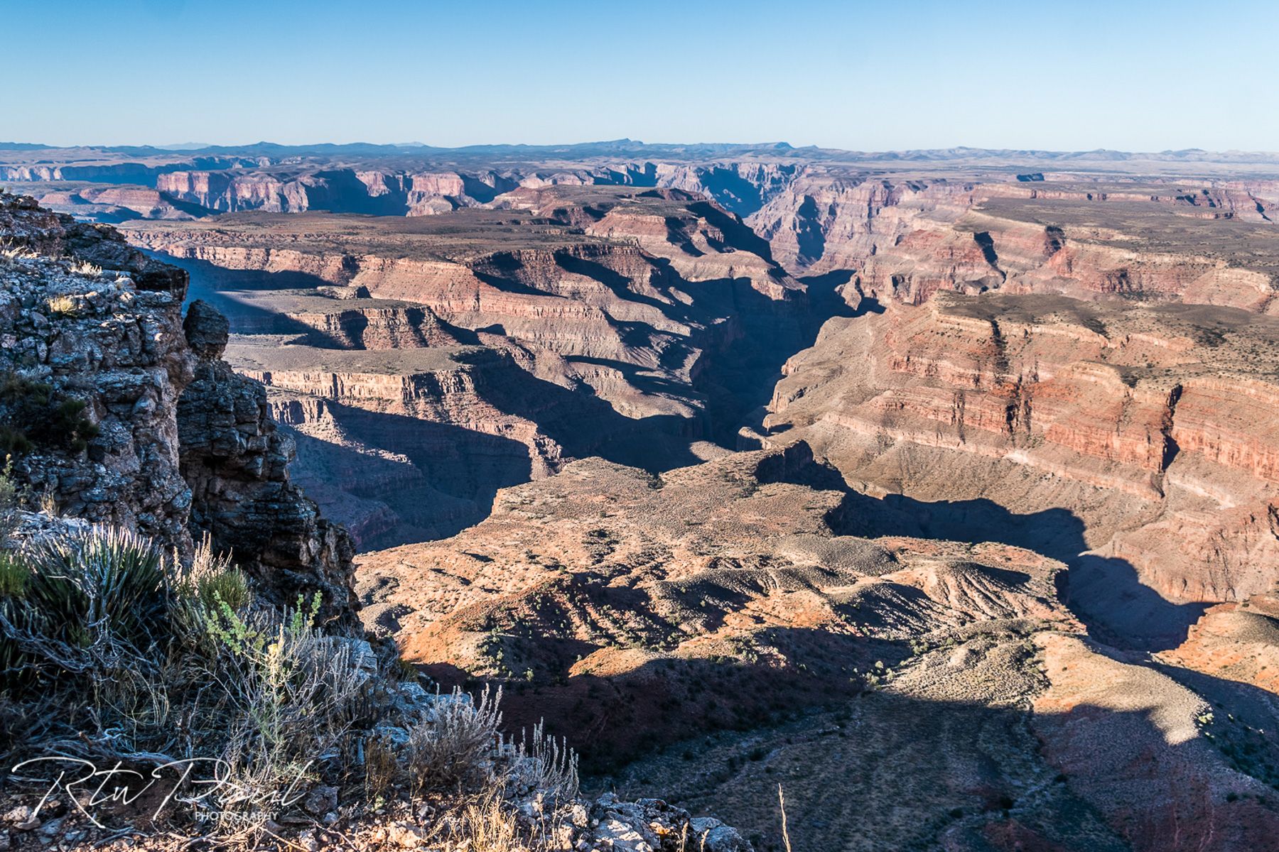
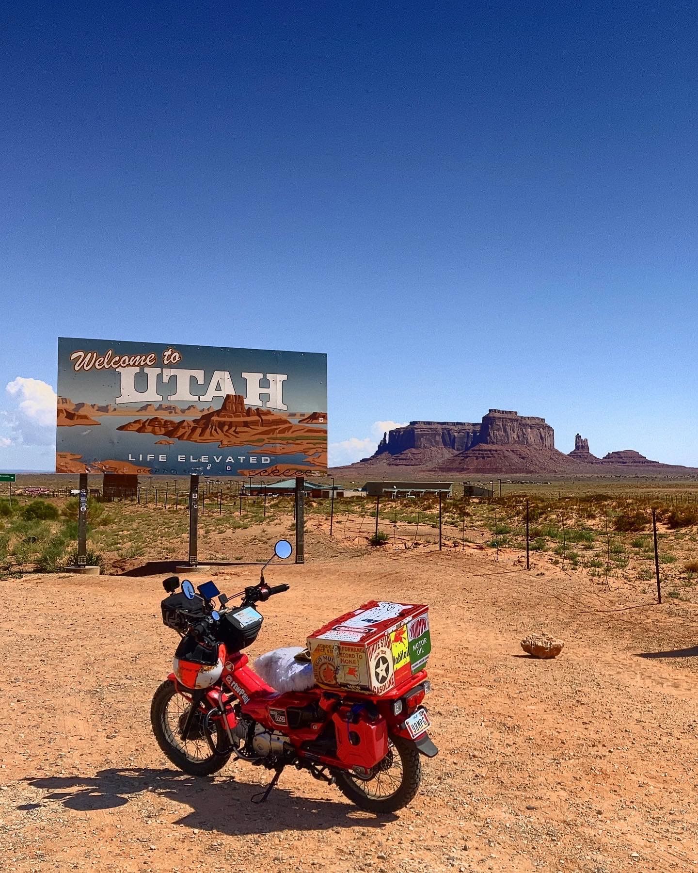
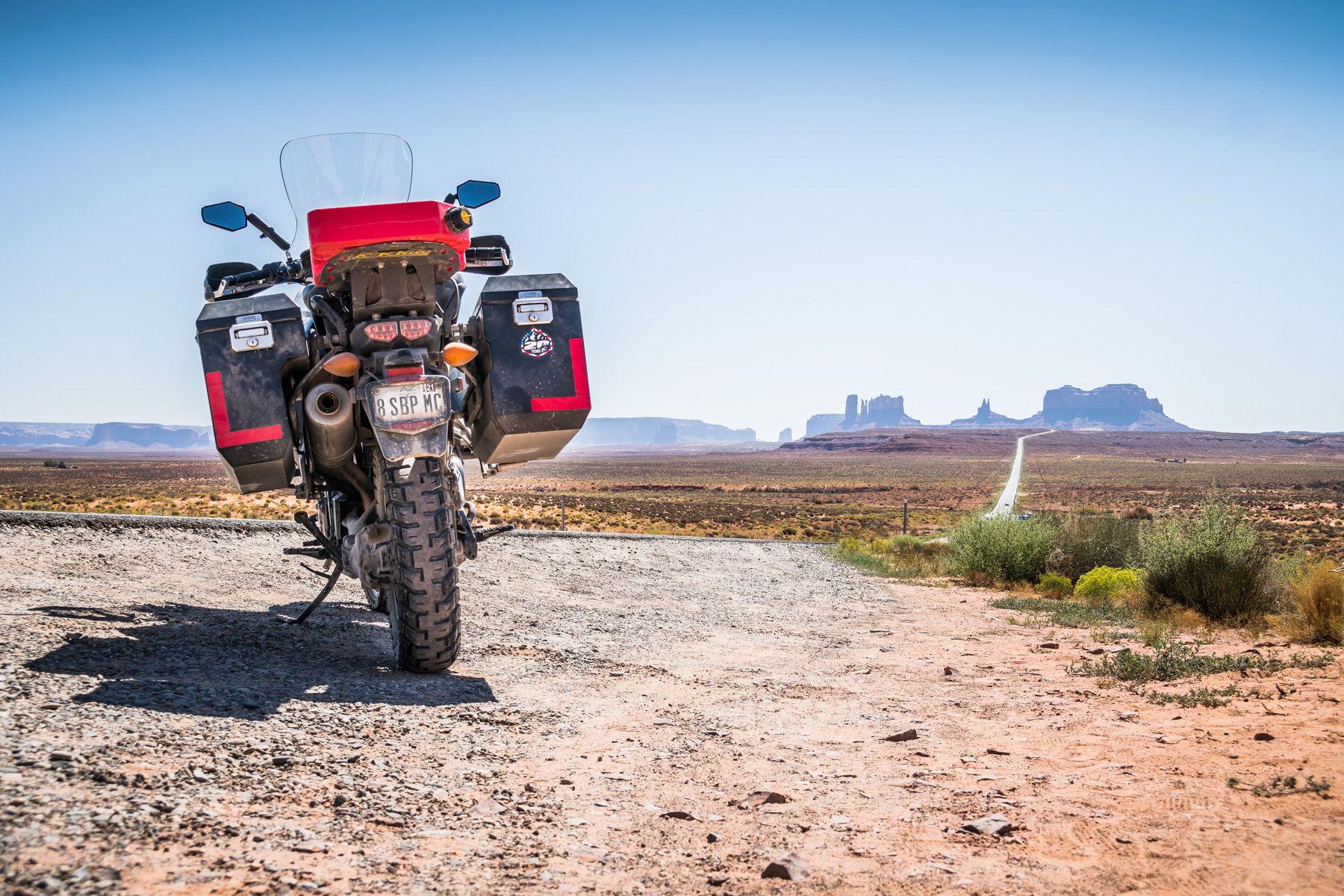
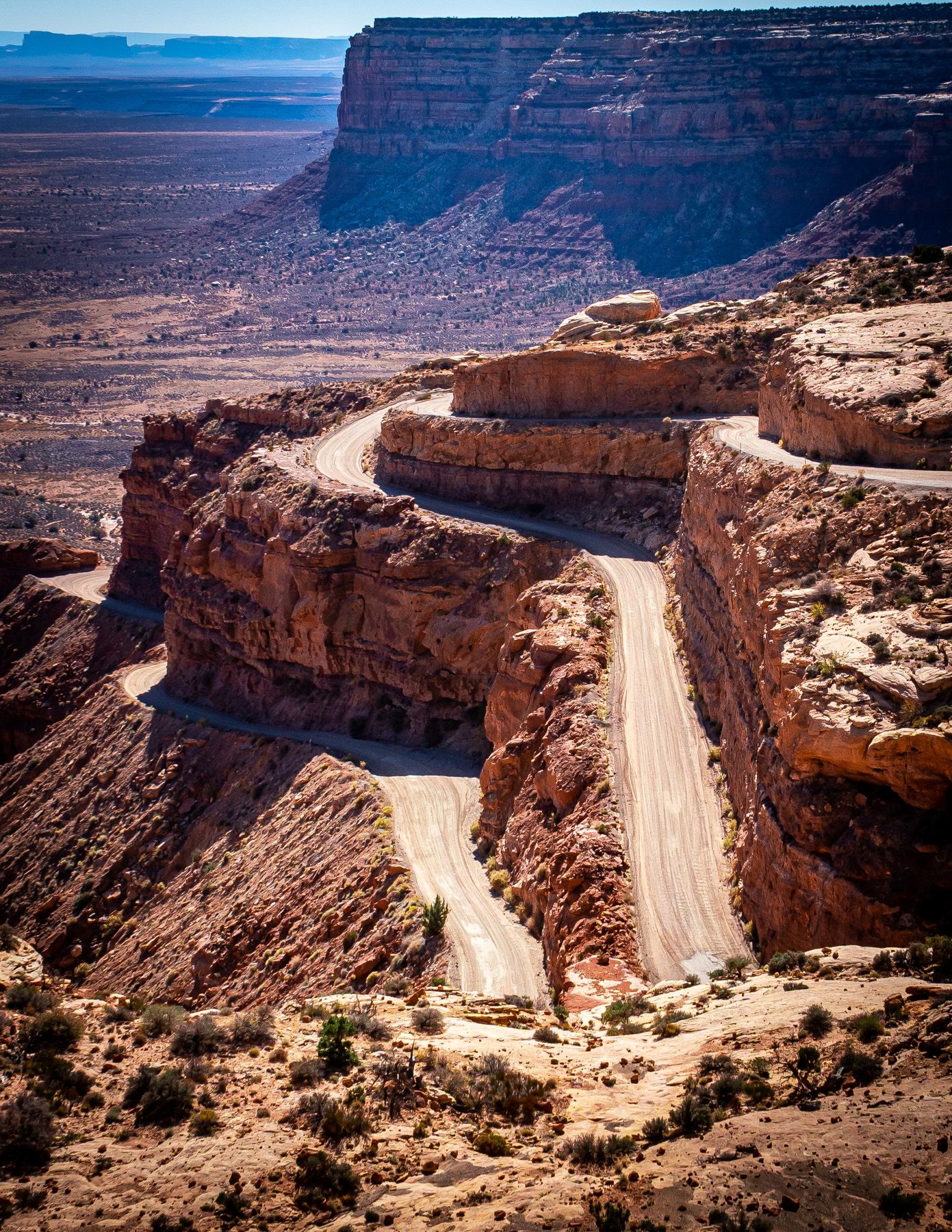
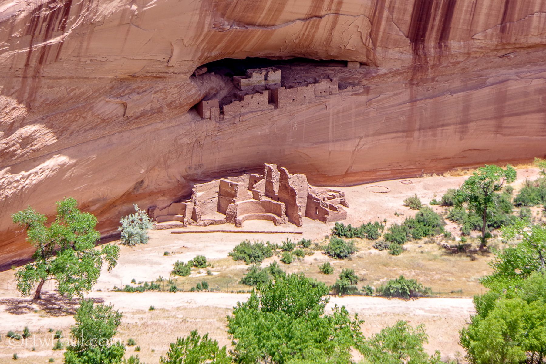
This route is 1800km of some of the more spectacular areas NE of Phoenix and it also dips into Utah and New Mexico for a few miles.

As I sit here in late November looking at weather for the next few days it’s sun and blue skies all the way around, but you need to be prepared for the cold, 7c is the lowest daytime temperature you’d encounter if you left today, but Phoenix is right now sitting 21c. 

This might not seem like perfect weather for every rider but if you have the ability to wrap up warm, you’ll have the opportunity to see some amazing areas and with virtually no other people around.

The loop, the way I plotted it is ridden in a counterclockwise direction. A large portion of the early riding is in a NE direction so you won’t be riding into the sun but have it on your back and as the sun lowers it will be lighting up the red rocks for some spectacular views.

Leaving Phoenix by the northern desert on Route 74 and quickly passing through the small cowboy town of Wickenburg where cattle roping events are almost a weekly occurrence. 

You’ll get off the main Highway 93 and head onto the more scenic and a lot quieter Route 89, one of Americas most iconic roads that traverses the country all the way to its northern border with Canada. Sometimes called the ‘National Park Highway’.

We won’t ride it that far obviously, but we will see some of the great views it offers in this region just outside of the big city.

You’ll head to the small mountain town of Prescott and its lively town square. Here you will split from the main Route 89 and join the smaller Route 89a headed to Jerome, a small former mining town tucked away high up on a hillside with some spectacular views of the valley below. If you are feeling adventurous there are a lot of dirt trails in this area as well.

Back down to the valley floor and still on Route 89a, you are lead to Sedona a beautiful small town that’s surrounded by red-rock buttes, steep canyon walls and pine forests, it has a mild climate and vibrant arts community, and a great place for lunch or dinner.

North out of town Route 89a continues and is nothing short of spectacular with an amazing twisty section to lead you towards Flagstaff.

Flagstaff is a busy place and good option for hotels as there is loads to choose from in every price range. Located on Route 66 passing through the town west to east, look for photo opportunities of Americas Mother Road.

From here you can cross to Route 180 until it joins Route 64 heading to the Grand Canyon South Rim, or if you feel adventurous the use Route 89 and head to the small Navajo town of Cameron. Here you will find the official permit office where you pay a nominal fee to enter the reservation and see the Grand Canyon like most tourists never will…without other tourists! 

I documented this in an earlier article HERE

This is one of the highest points of the ride, best to visit in the early afternoon to allow you time to get further east and slight lower in elevation.

Get to Route 160 and in Kayenta fill up with fuel and follow the Route 163 towards Monument Valley. Opinions differ in this area if entering the park or looking from a distance offers the best view of this iconic area. Personally, I prefer the long distance iconic view 20km past the AZ/ UT Stateline

The area north of here towards Mexican Hat, Valley of the Gods and Moki Dugway and 4 Corners was covered extensively in part 2, HERE

After 4 Corners it’s time for a short ride to Shiprock, make sure you don’t mistake of heading to the town when you should be heading to the actual Shiprock itself. Not difficult to miss SW of the town on a smaller backroad is an entrance you can drive as close as you want but as it’s 600 meters tall it’s generally best viewed from a distance. 

Shiprock is the remnant of an explosive volcanic eruption that occurred around 30 million years ago. The main part of the landform is 600 meters high, and 500 meters in diameter.

It’s time to ride back into Arizona to see one of the least visited National Monuments. Talking to local Native Indians they think it’s because the road is a dead a lot of visitors simply don’t think it’s worth the trip up and back…let me tell you it is, IT REALLY IS!!!

Head up the paved road some 27km from Chinle to where it ends, make the left turn, and follow this paved road to the end and find a place to park. Now it’s time to walk a few hundred meters around a corner and if possible be there an hour or two before sunset for the most spectacular light.

If you have time in this area there are some of the oldest inhabited areas in the United States, you can arrange tours to go an visit in the park office.

It’s time to head back to Phoenix, there are a few options depending on how much time you have, but if you can make time and explore some of the smaller backroads in this rarely visited NE corner of Arizona, there is a lot to see.


Read our other stories about RTWPaul


To know more about Paul go to:

www.rtwpaul.com/

www.instagram.com/rtwpaul/

www.facebook.com/rtwpaul/


#FORYOURRIDINGPLEASUREONLY


Plus d'articles

RTWPaul: Riding 48 States - Utter Ridiculousness With 8hp Part 1 of 2

RTWPaul: Riding 48 States - Utter Ridiculousness With 8hp Part 1 of 2

Iceland, Part V

Iceland, Part V

A sparkling adventure ride

A sparkling adventure ride