California Backcountry Discovery Route and A Little of the NVBDR
Motorcycle Diaries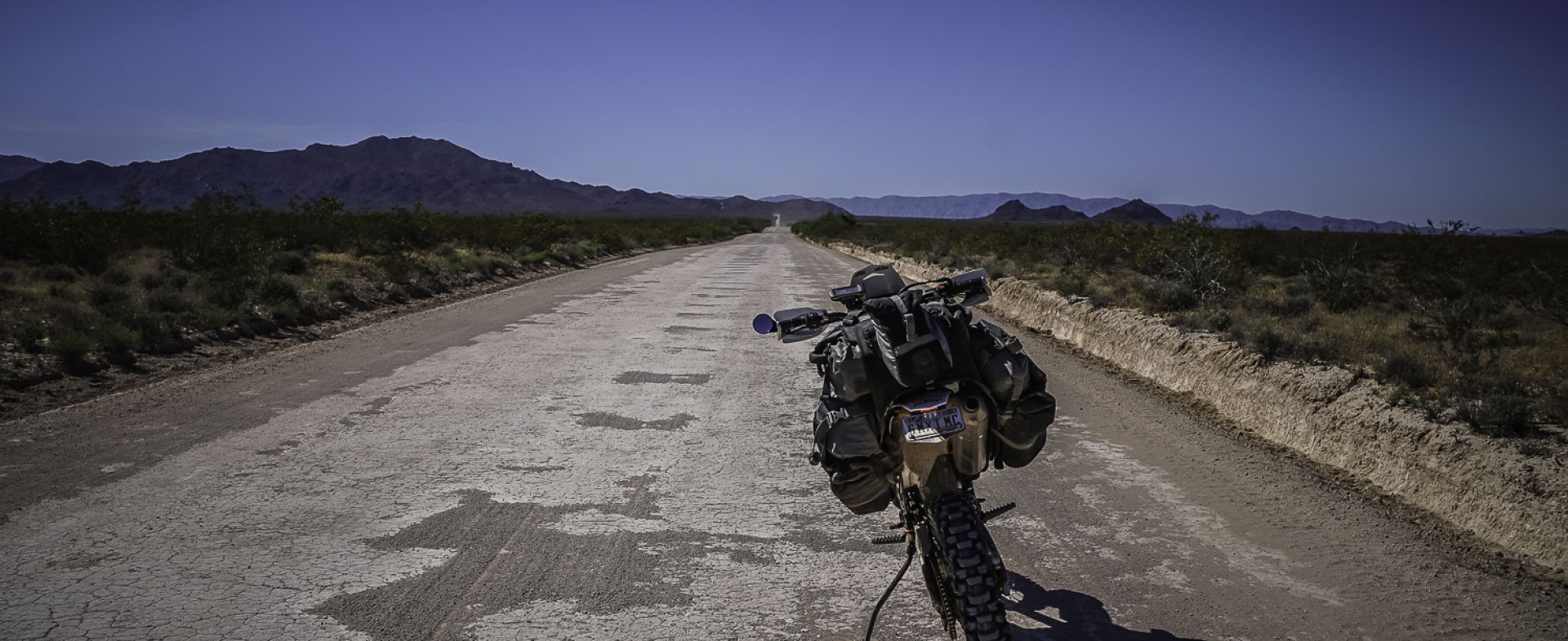
I read the write-up and it promised a lot –
“Take a spectacular, yet challenging 820-mile ride across the south-eastern region of California. Rugged two-track and remote dirt roads lead riders through majestic canyons, rocky riverbeds, and sandy washes of California’s famous deserts and national preserves, including a dream ride in the Mojave Preserve”.
For whatever reason, the two words that resonated with me in that description were ‘spectacular’ and ‘majestic’.
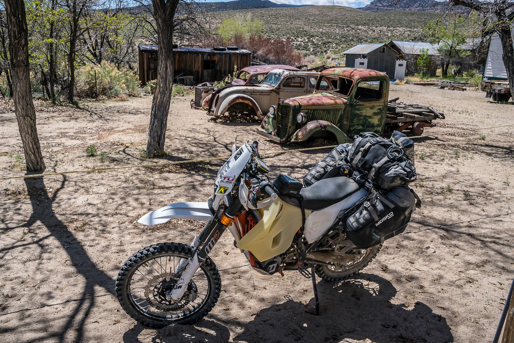
In early April I set off from Phoenix to meet the start of the route and ride it south to north, the way it is laid out and the suggested direction, to make it more rideable I was told.
I loaded the GPX track in my GPS, made a point of not reading the route descriptions so I could experience it from my opinion, not theirs.
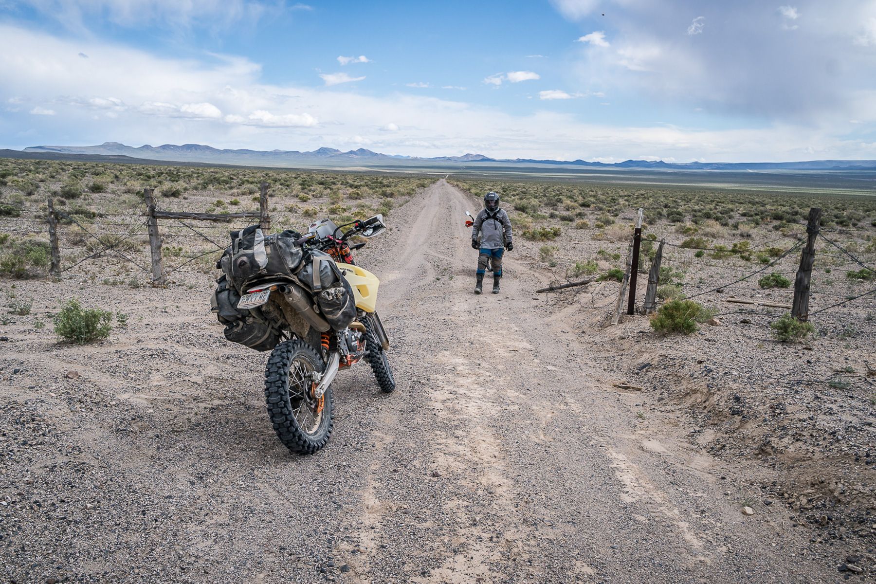
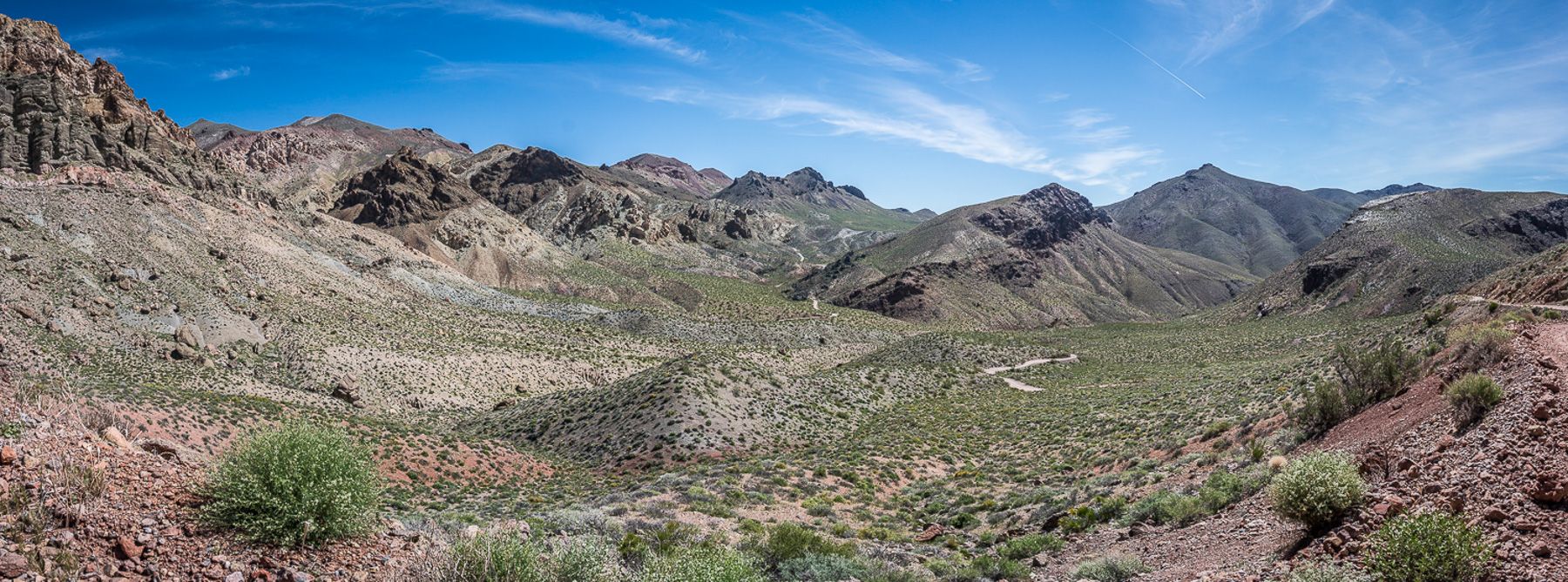
Not long after hitting the trail I was in sand, and this I expected in the desert southwest. It’s not a rider’s favorite, but sand can be enjoyable once you get in your groove, get your weight back and speed up, the challenge can actually become fun. Try to ride sand slow and it can become a very slow and arduous process to get any sort of momentum.
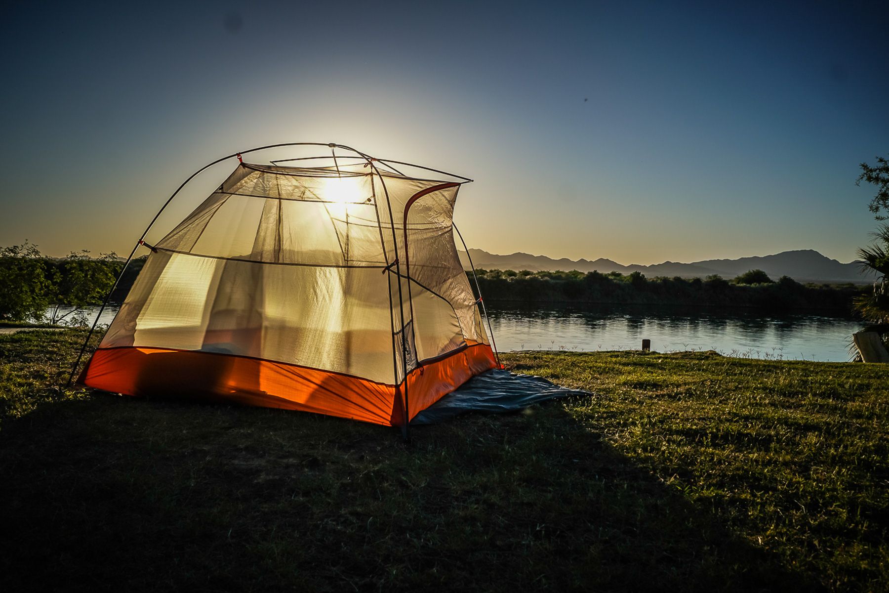
Just outside of Blythe I set up camp by the Colorado river under a clear blue sky, as I rested from a very long day riding deep sand wondering if it will be this way for the rest of the route.
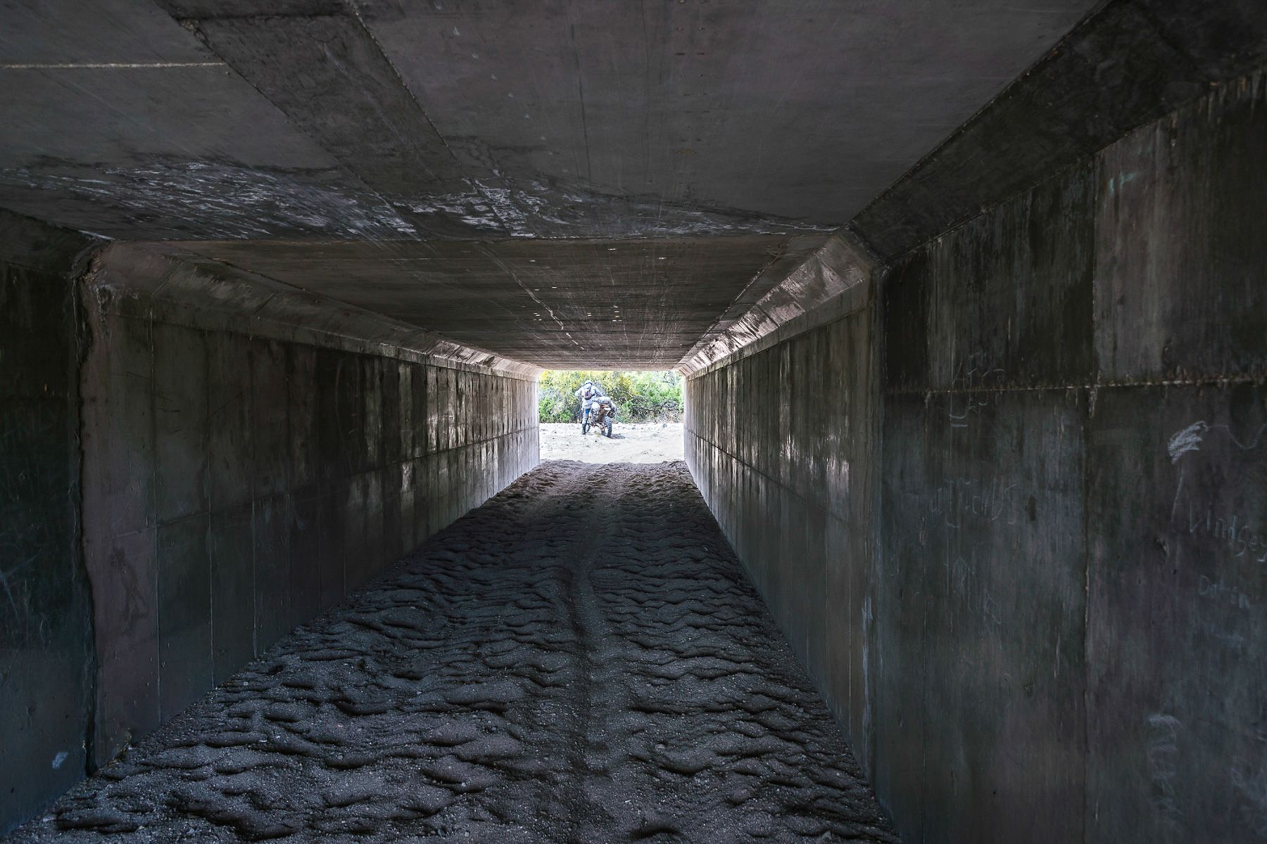
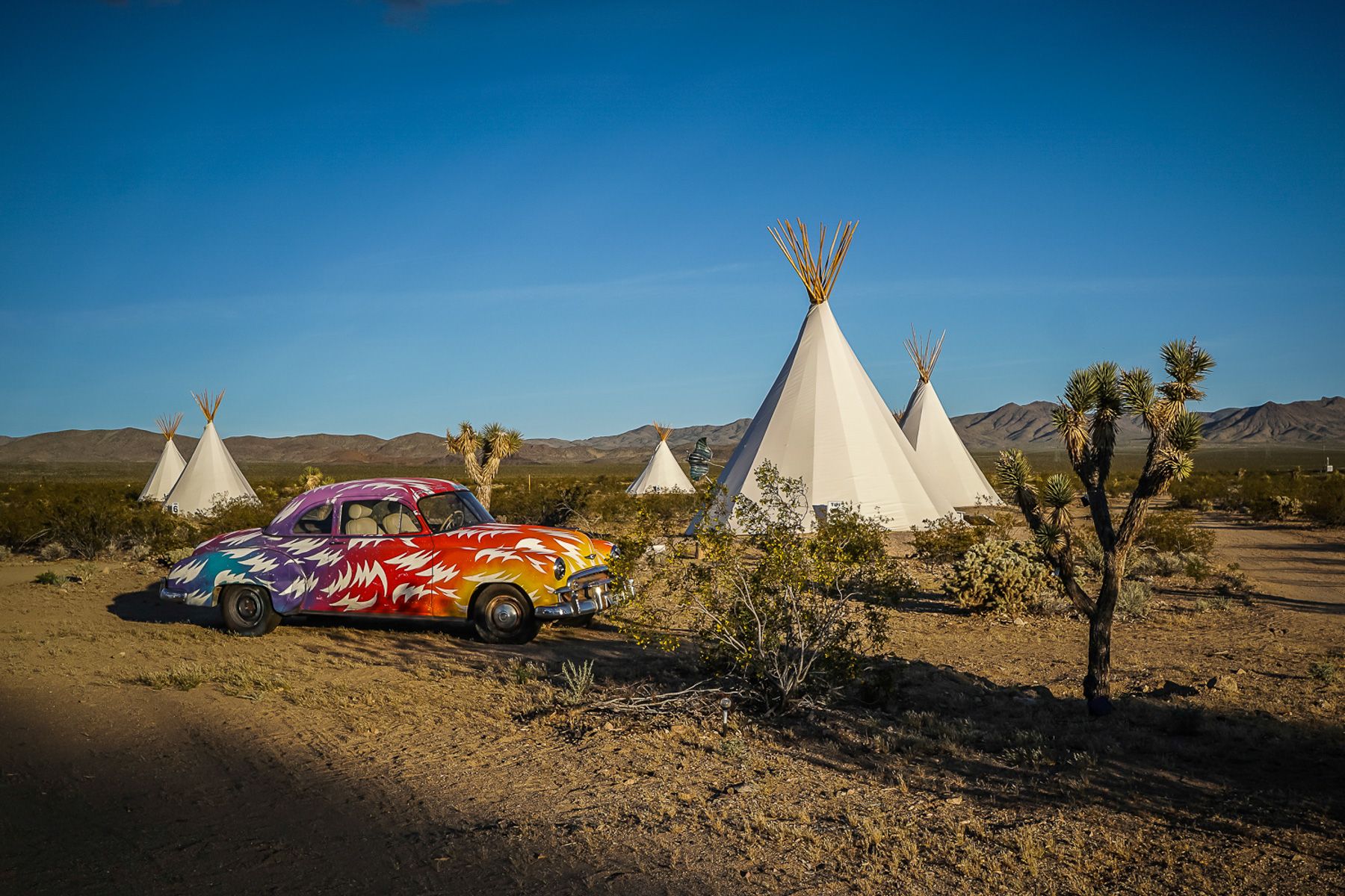
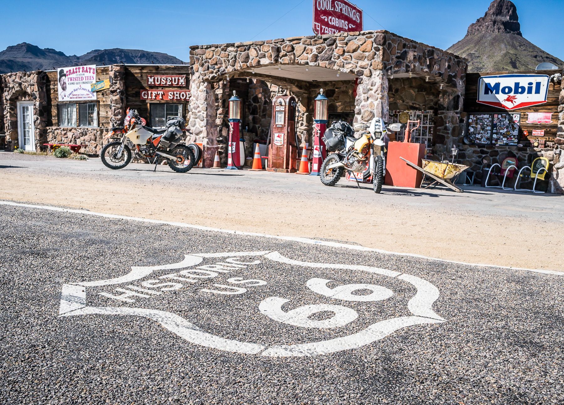
The following day hitting a small stretch of Route 66, it’s always interesting and gives the sensation of going back in time, and then back to the trail.
The deeper sand was subsiding, and the track got a lot faster, but heading towards Death Valley the heat was increasing by the hour. A simple respite from the heat can be found with a worthwhile stop at China Ranch for one of their locally world-famous date shakes to help drop your core temperature.


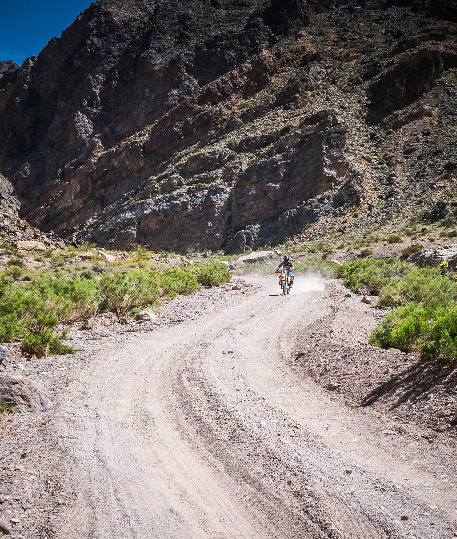
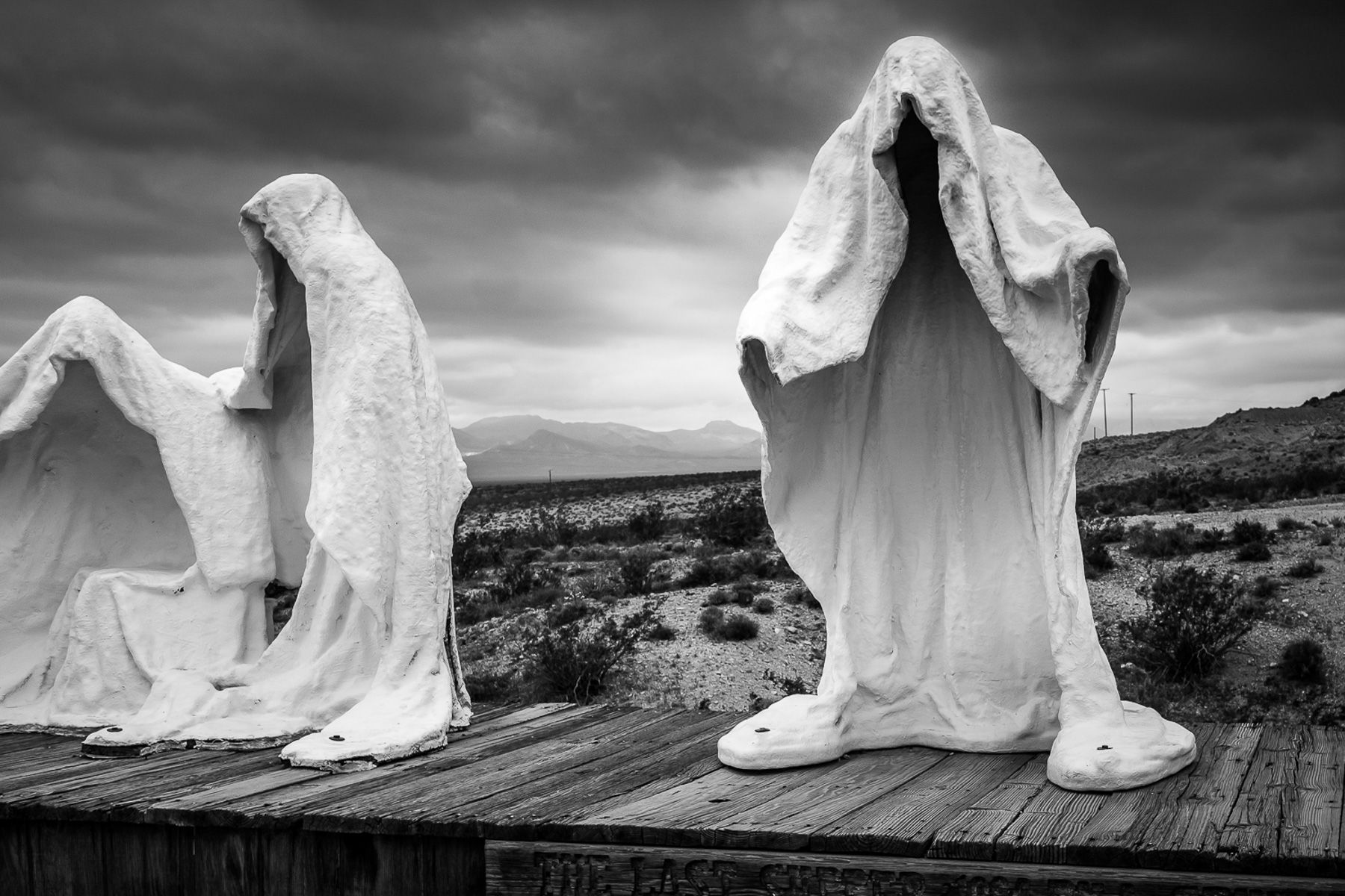
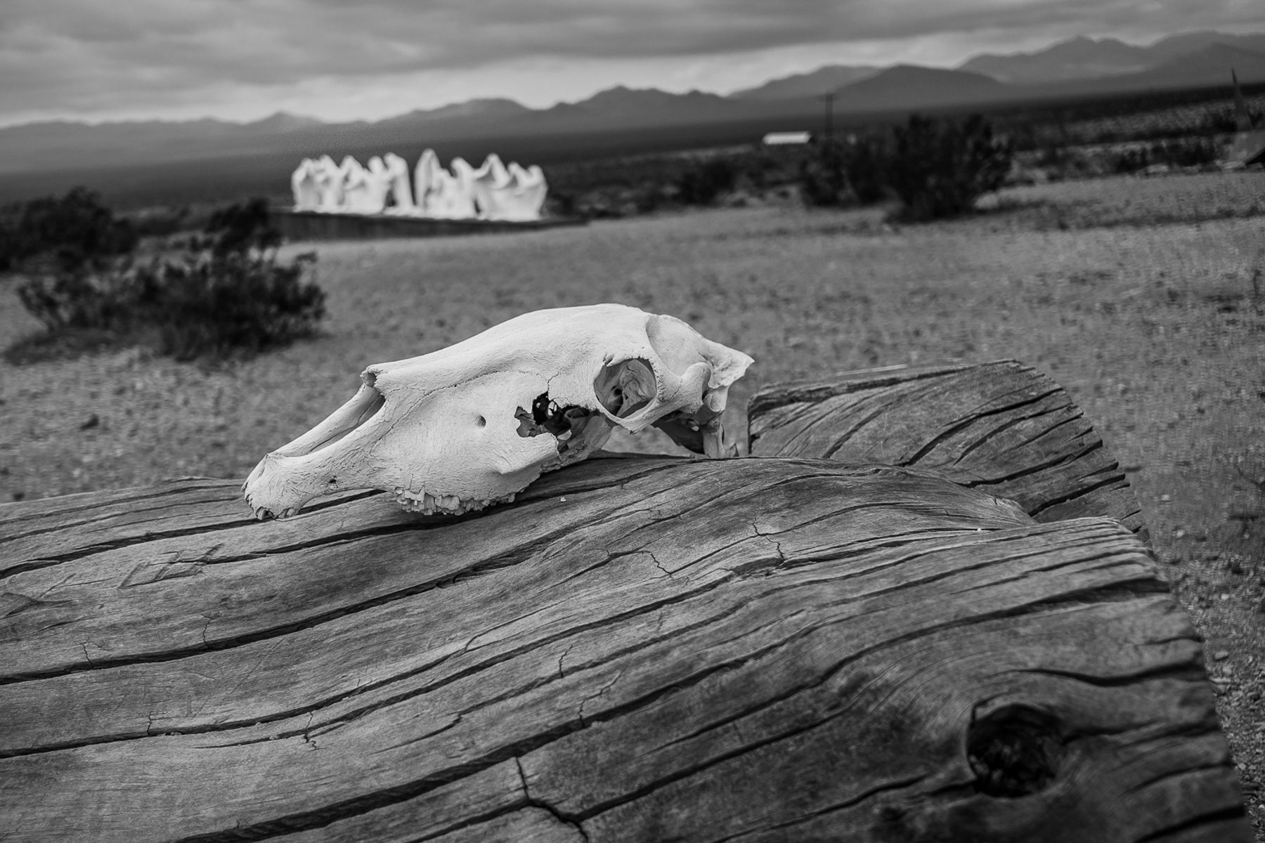
North from the aptly named Furnace Creek going to Beatty to top off fuel levels gives the opportunity to see the old mining town of Rhyolite to see some of the bizarre sculptures and then to Titus Canyon with its spectacular colors as you ride through a very deep canyon, and glorious cool shadows. Sadly, it’s quickly over and you are promptly dropped back on to the Death Valley floor and back in the heat.
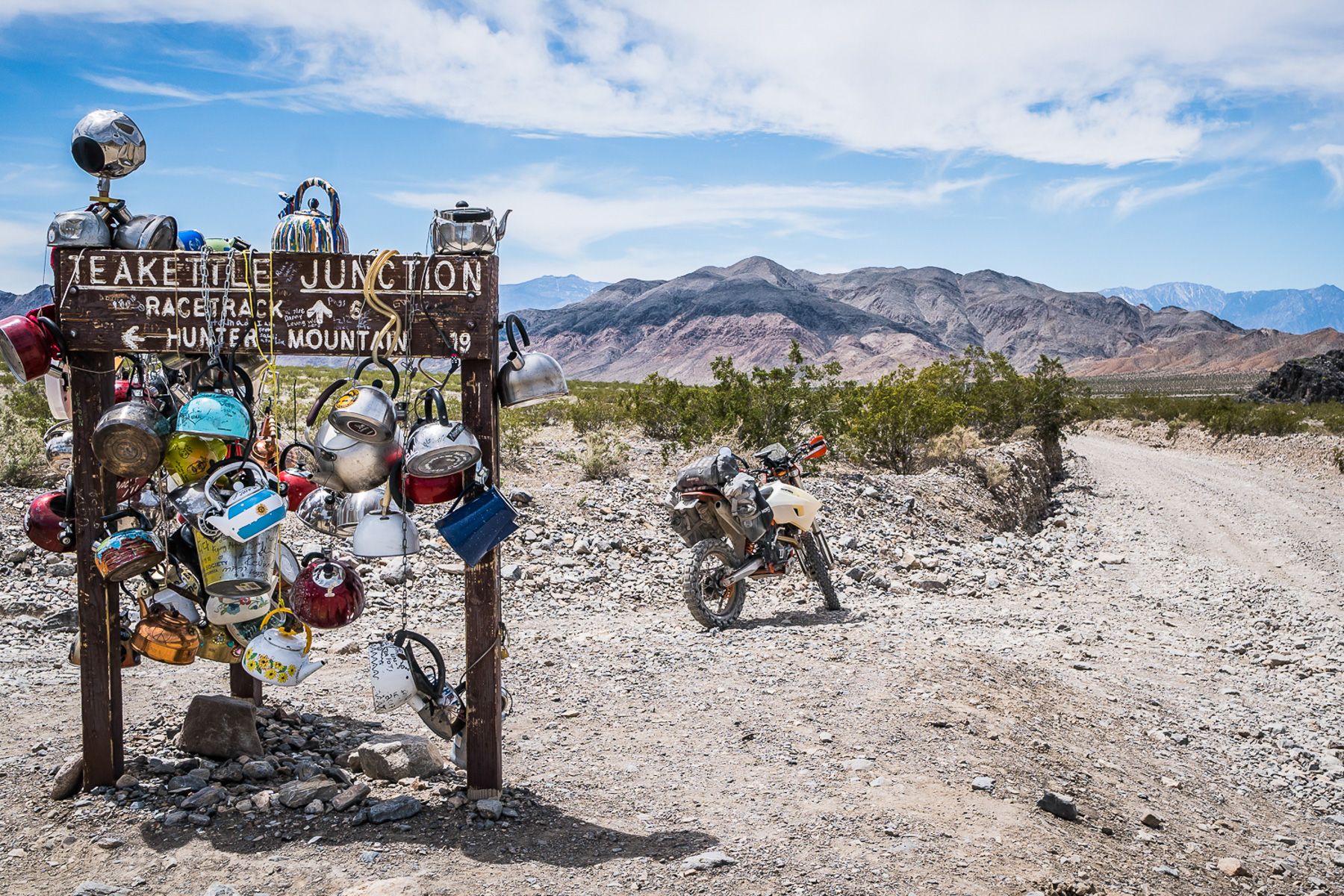
Speed is picking up now as the track leads towards ‘The Racetrack’, via Teakettle Junction, you will easily know when you’ve reached the junction because dozens of old kettles have been hung on the sign. I will tell you though, even though the track is fast it is about half an hour of washboard and will make you feel like your teeth are about to fall out of your head!
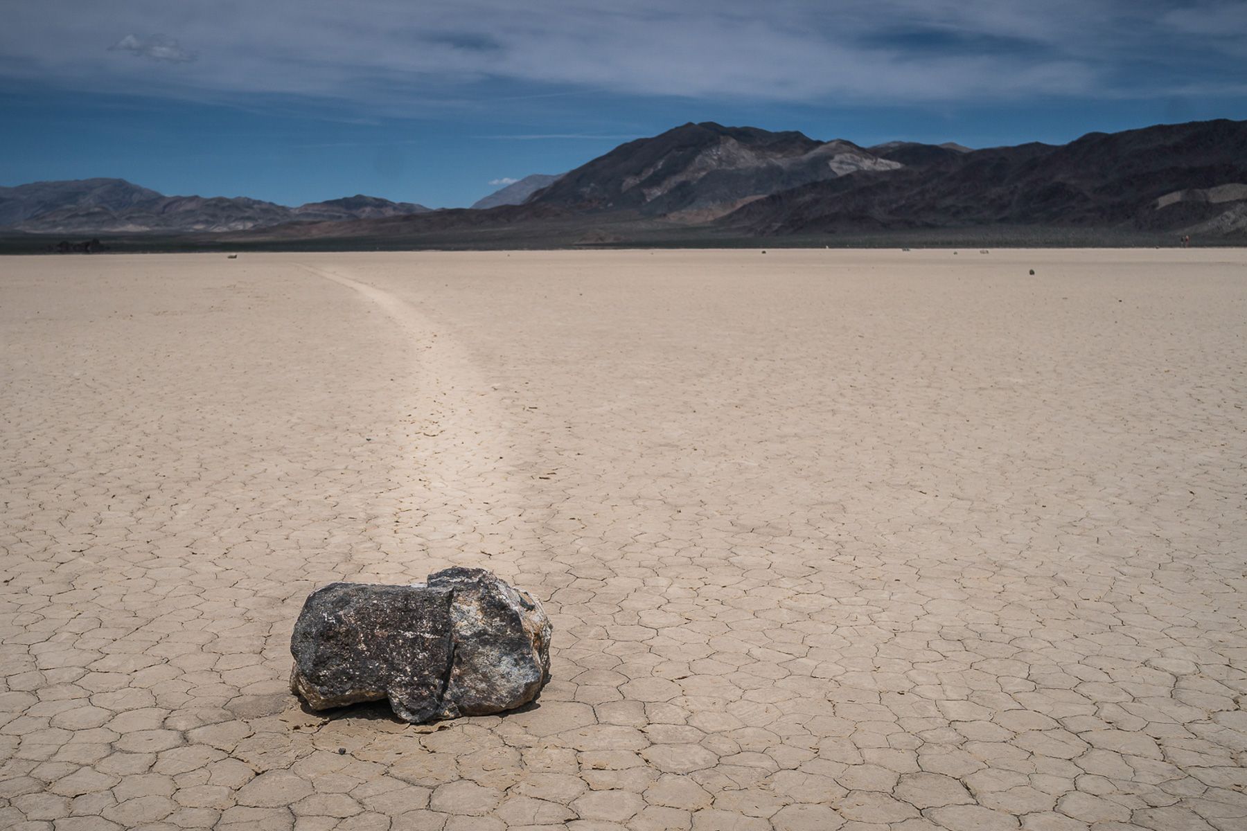
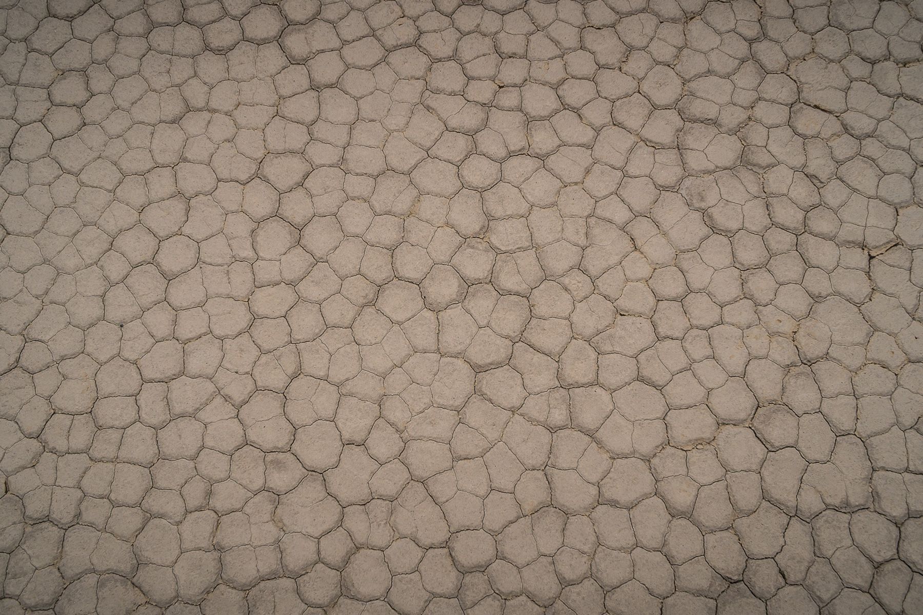
Not too much further from Teakettle Junction is ‘The Playa’ which is where ‘The Racetrack’ is. You might not be familiar with the name; this is the place where the rocks move by themselves and leave a track, but no one sees it happen. The theory here is, light rain makes a slick surface and then very strong winds move the rocks…it is an amazing sight to see how far these rocks have moved – by themselves!
A few miles later I reached the top of Lippincott Pass, this is where if you had read the ride description you would know this area and ones after it are described as – “WARNING: Lippincott Pass can be extremely tough. Snow might be possible at higher elevations around Hunter Mountain and Cerro Gordo”.
…but going down this very steep decent filled with basketball-sized boulders wasn’t actually all that difficult once you made the commitment to ride. I do see now why they suggest riding the route from south to north, because this section would challenge the most skilled riders to ascend without a fall or two.

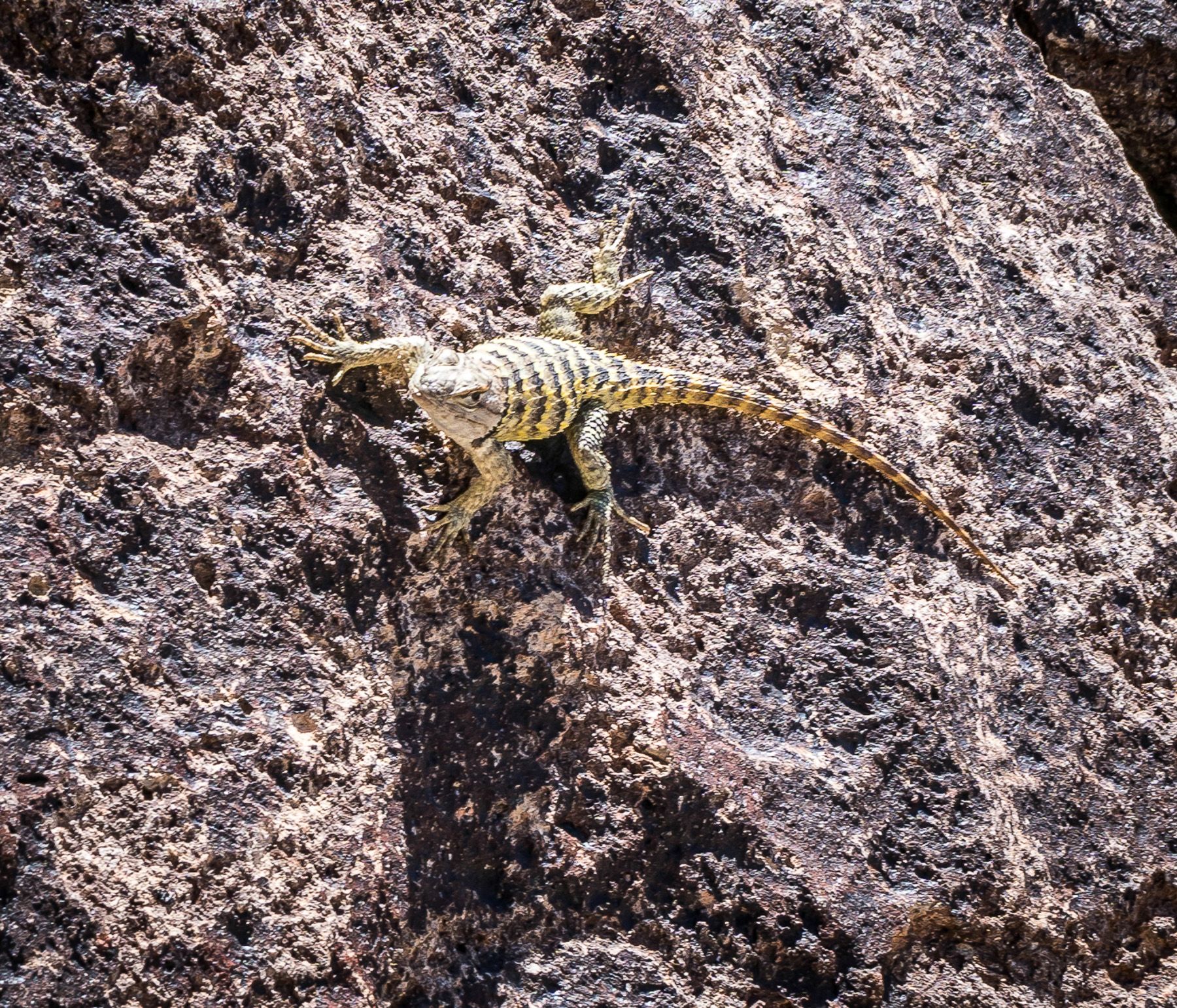
After Lippincott, you go through a few little mining areas that have been around for a hundred years or more and eventually get to see the snow-capped Sierra Nevada Mountains and drop back down to lower elevations.
In the middle of nowhere with the spectacular view of the mountains as a backdrop, you will come across Manzanar. It is the site of one of ten American concentration camps, where more than 120,000 Japanese Americans were incarcerated during World War II from March 1942 to November 1945. An area a lot of people have never heard of and are unaware there were concentration camps on US soil during WWII.
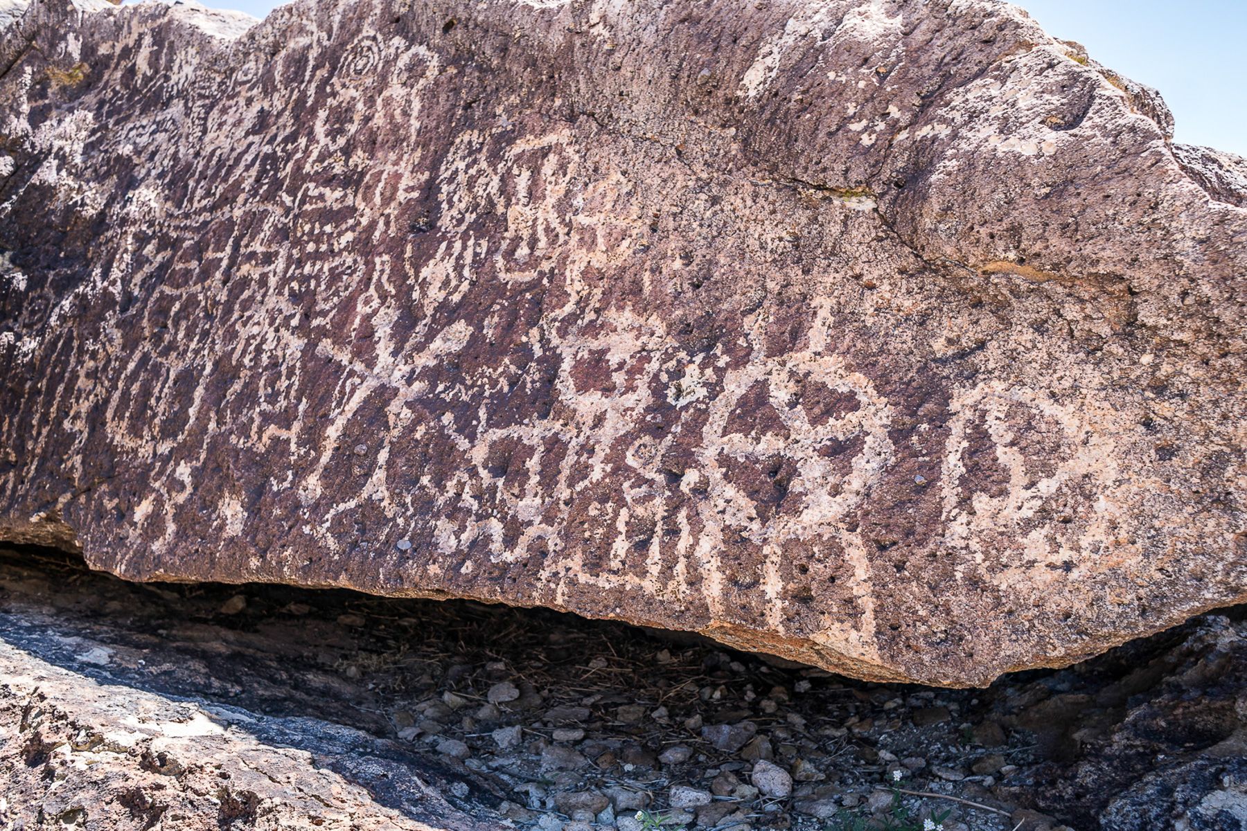
In the last section, you ride through an area where just off the trail there are a lot of petroglyphs which make an interesting break to see ancient ways of communicating.
The route ends in Benton Hot Springs, an area where natural springs are located to help you relax after the ride.
After completing the route I reread the description and; ‘spectacular’ and ‘majestic’ are 100% correct, but ‘challenging’ is the description and even though the whole trail isn’t this way it is good to know you will not have it easy.
For me I carried on east, linked to the Nevada BDR and headed south, stopping by the car forest along the way…but that’s a whole other story.